|
|
 |
FTF: bilbo60 + ede94co |
STF: Azulka |
TTF: - |
| |
 Άλλα δημοσιευμένα στάδια του "Corfu Trail"
  Other published stages of the "Corfu Trail"
  Weitere veröffentlichte Etappen des „Corfu Trail“
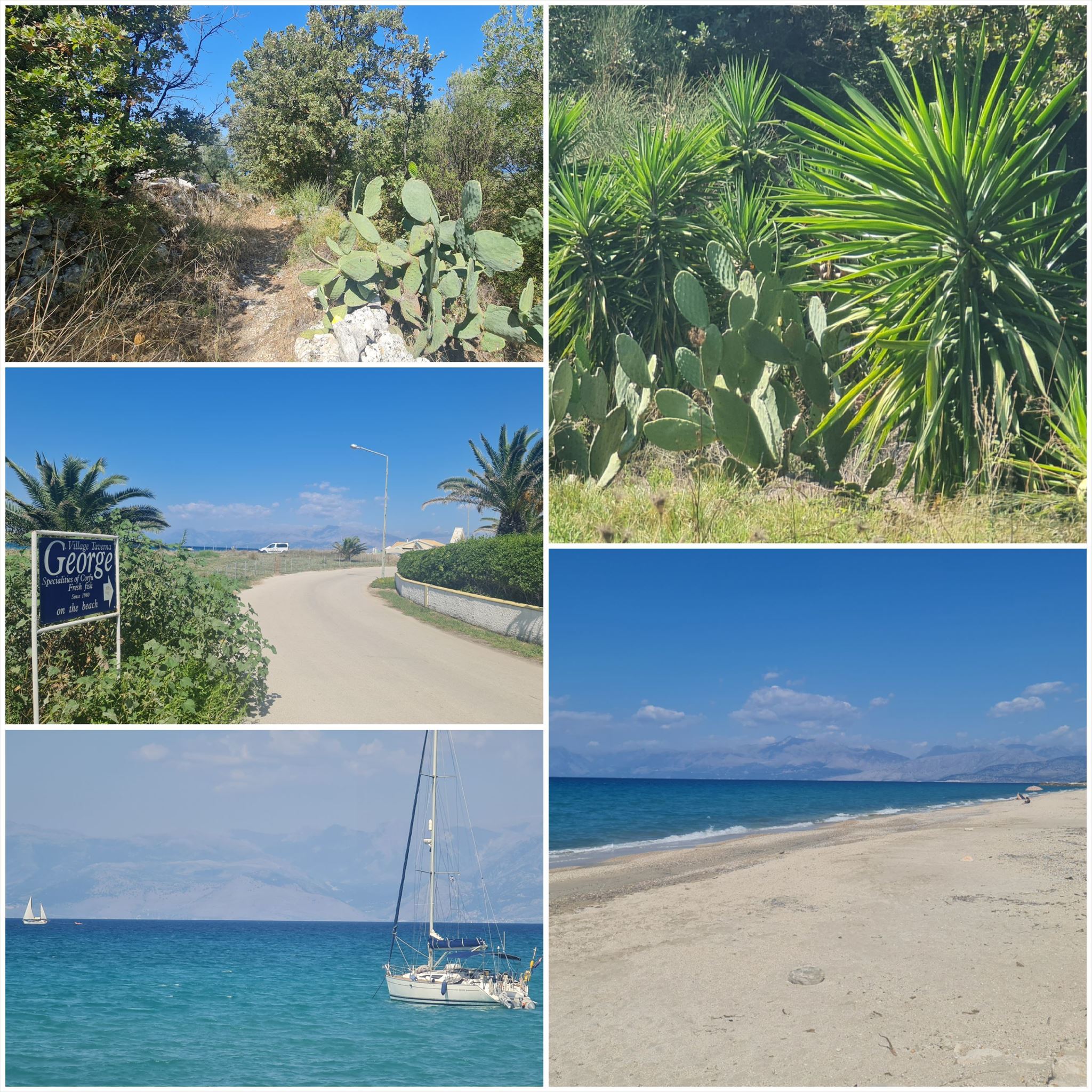
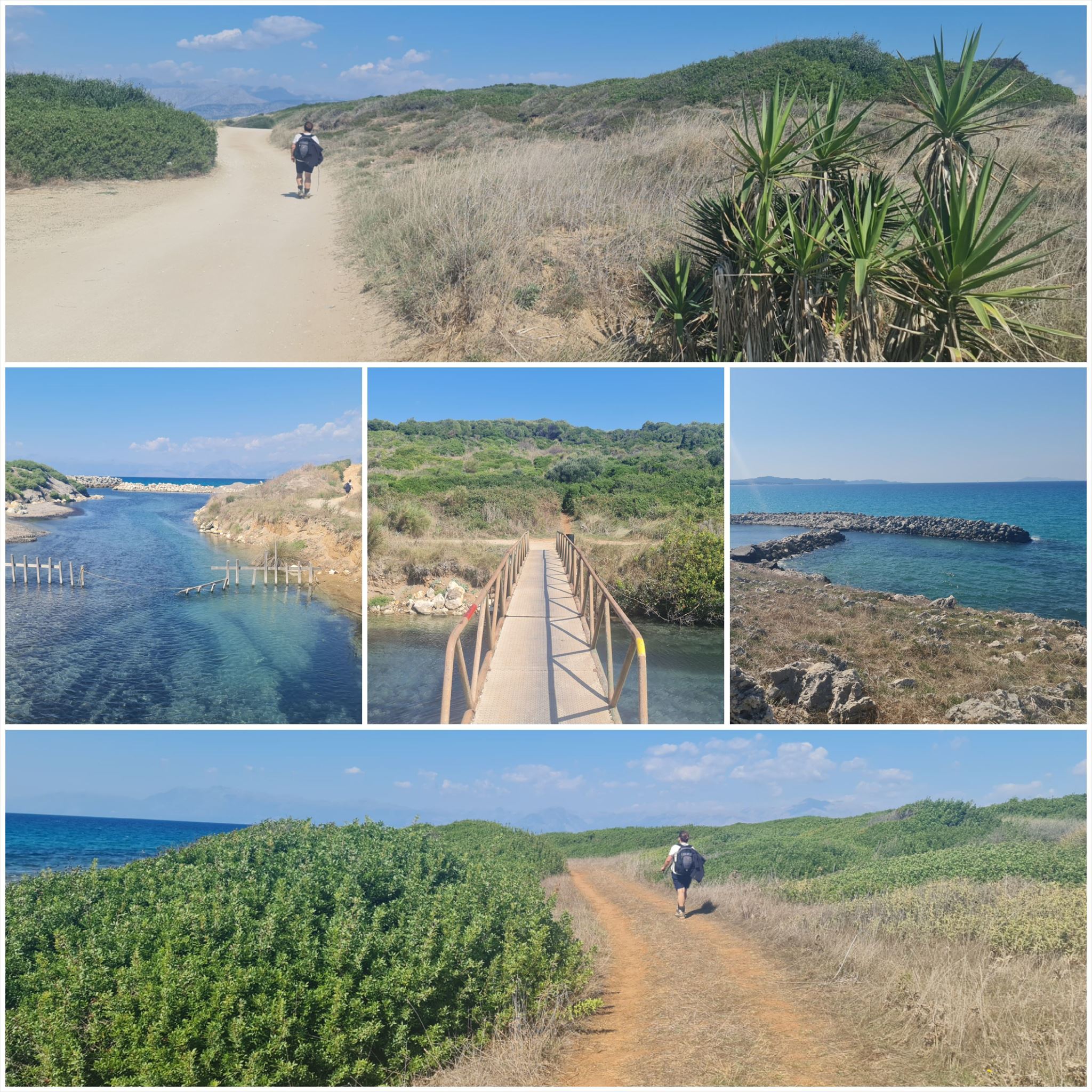
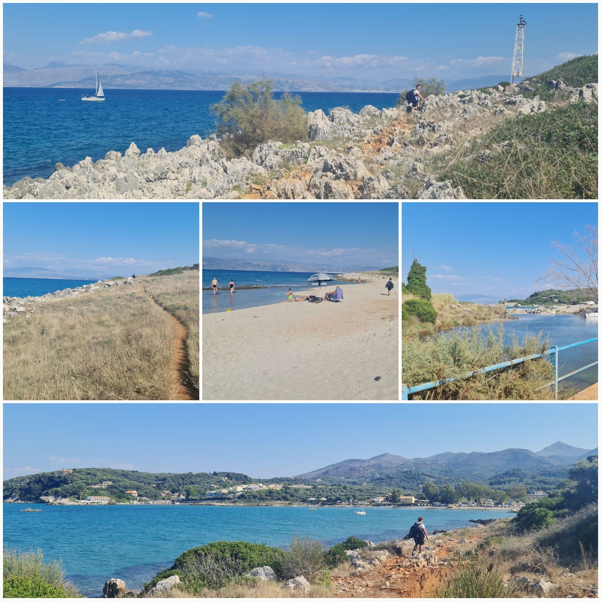
Το Corfu Trail είναι μια μεγάλη απόσταση με τα πόδια από τον Κάβο στα νότια της Κέρκυρας μέχρι τον Άγιο Σπυρίδωνα στα βόρεια.
Δημιουργήθηκε από τον Hilary Paipeti τον Μάιο του 2001 και έχει μήκος περίπου 220 χιλιόμετρα.
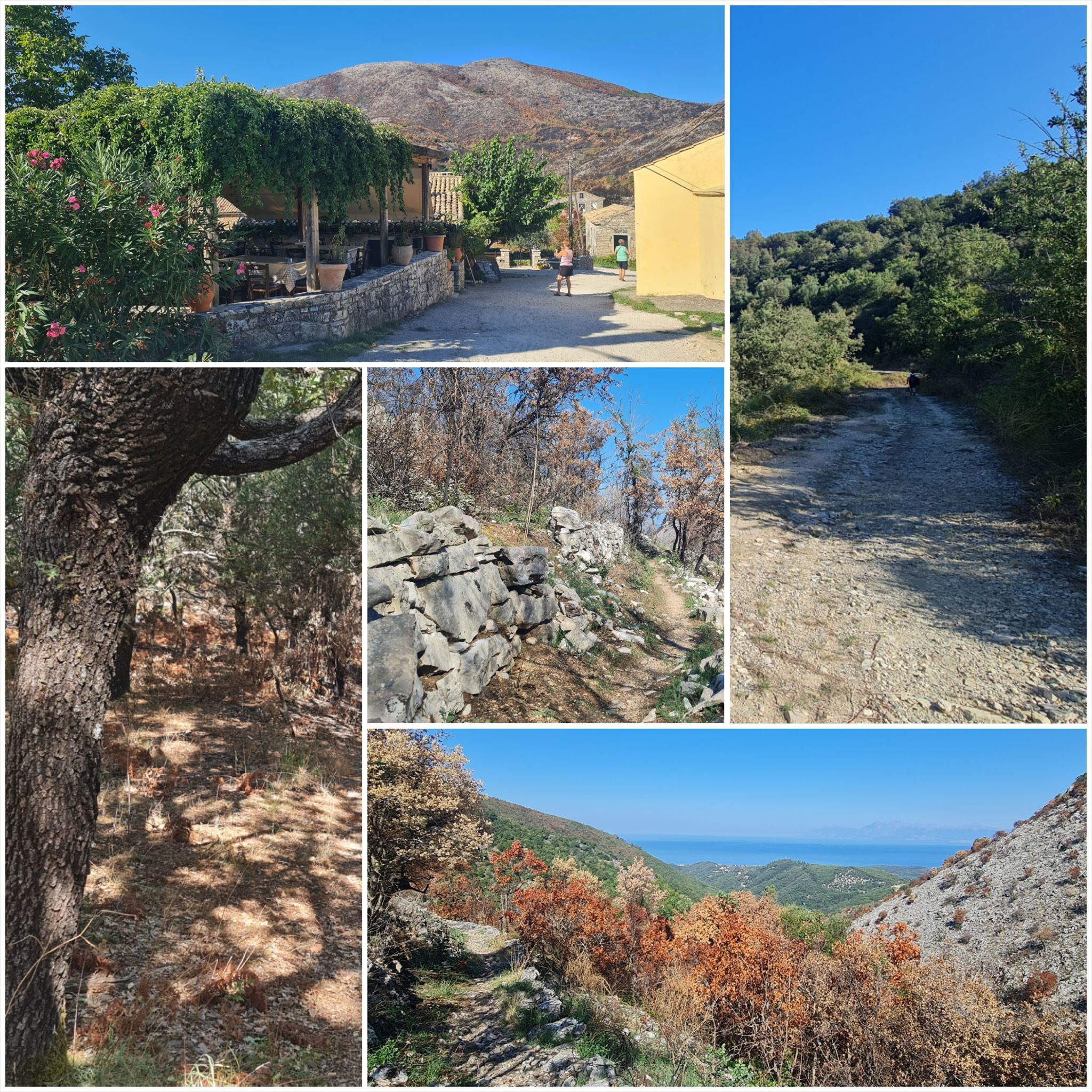
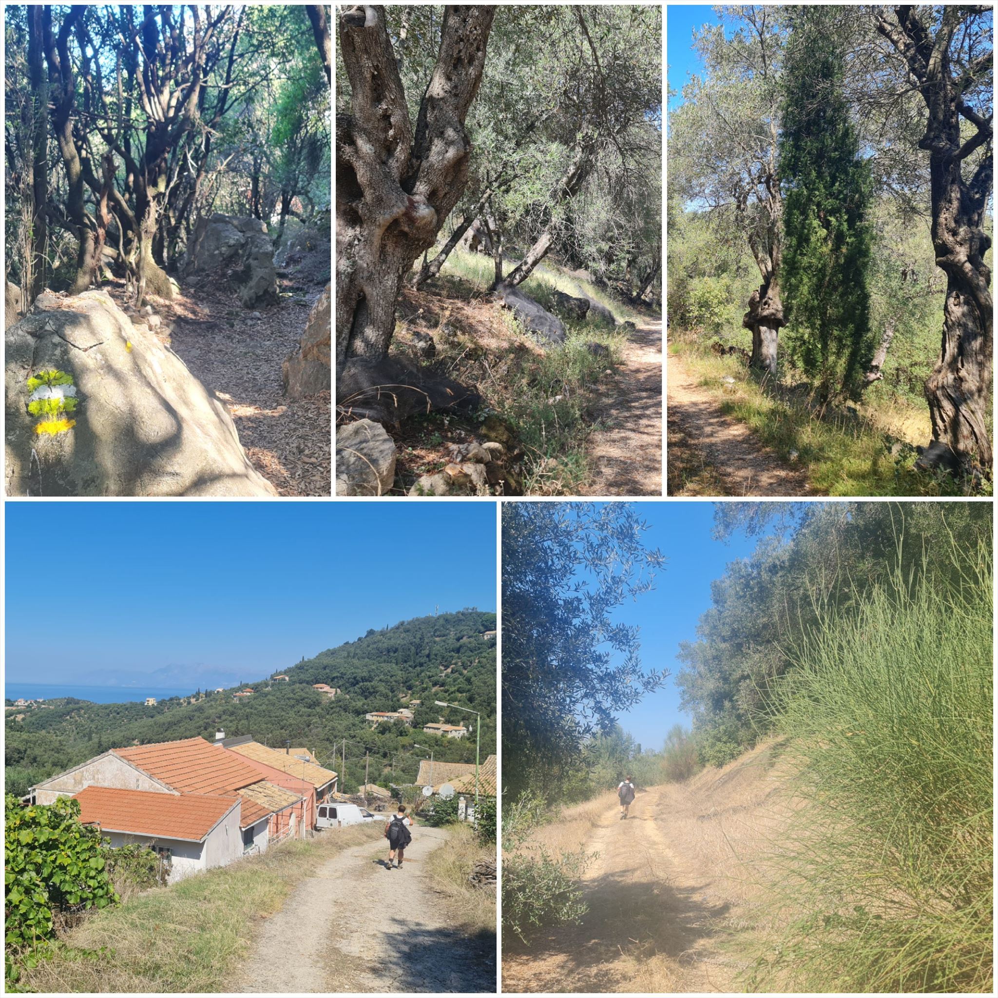
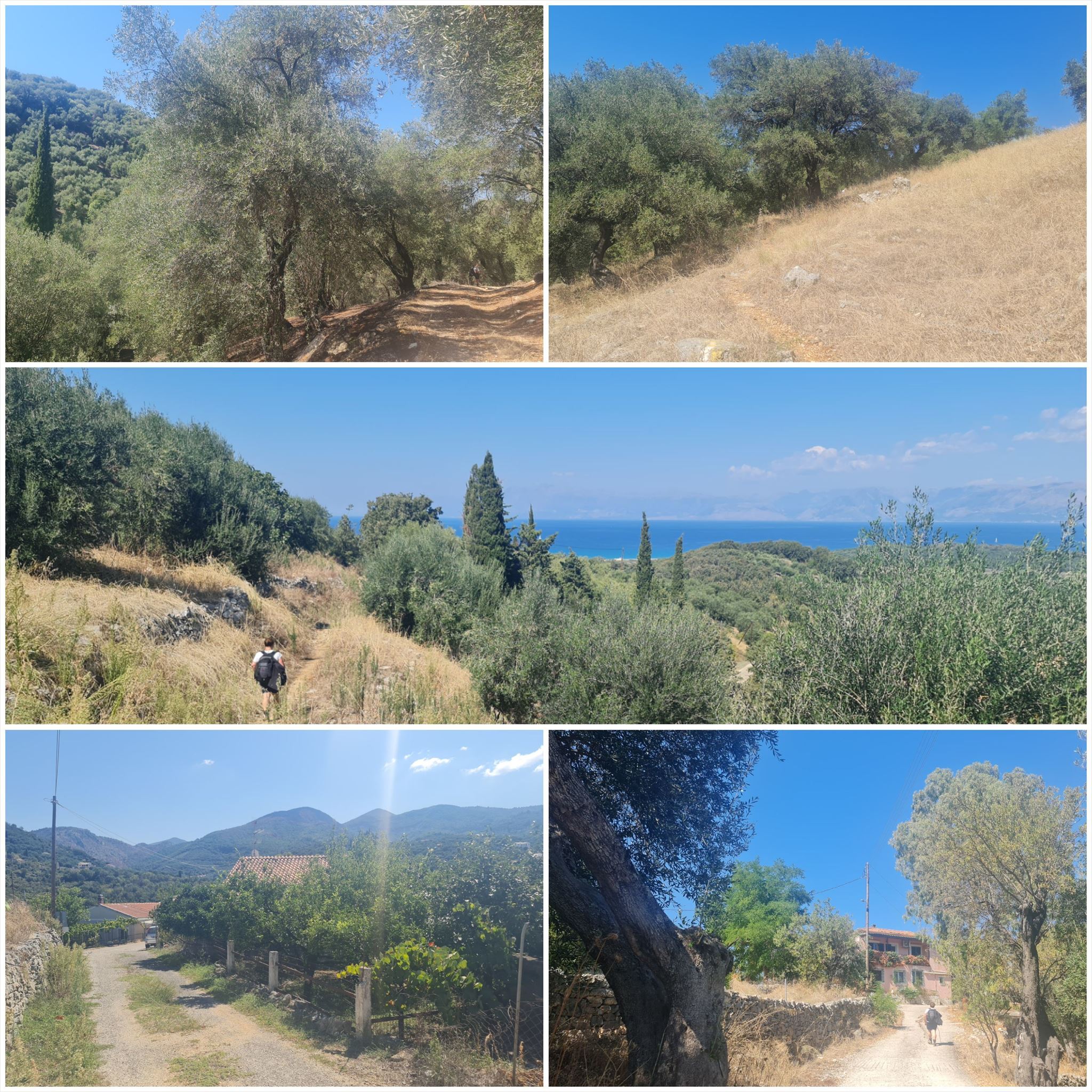
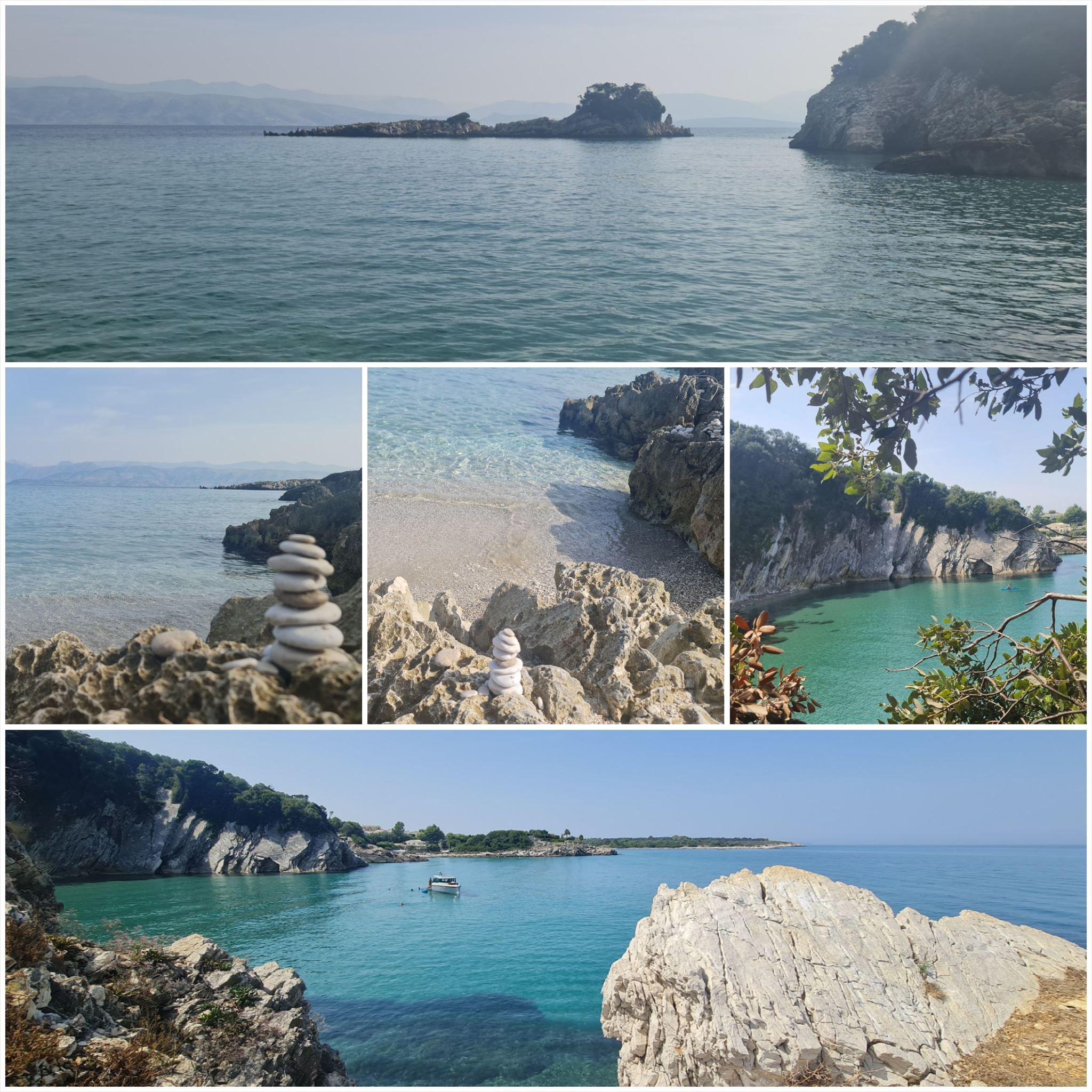
Το τοπίο αλλάζει από αμμώδεις παραλίες και αμμόλοφους στο νότο σε ελαιώνες και βουνά στη μέση και όμορφες παραλίες στα βόρεια.
Τα στάδια έχουν μήκος μεταξύ 10 και 18 χιλιομέτρων και πάντα ξεκινούν ή τελειώνουν εκεί όπου μπορείτε να βρείτε ένα δωμάτιο για τη νύχτα.
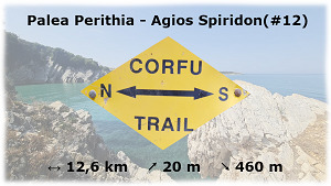
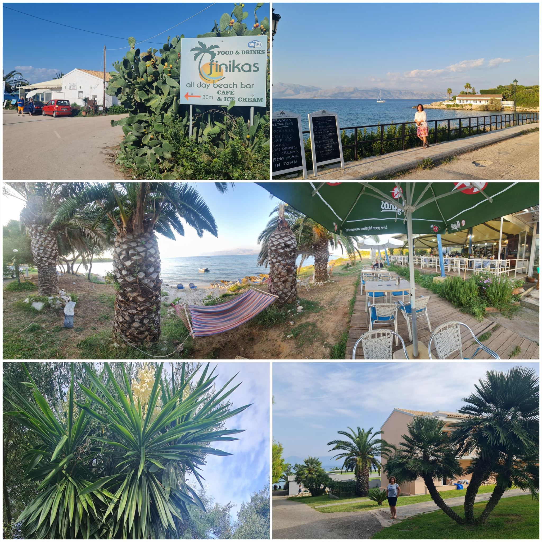
Από το Παλαιά Περίθεια στην Άγιος Σπυρίδωνας (#12)
Διαμονή (προαιρετικό και δεν απαιτείται για την εύρεση του geocache):
Παλαιά Περίθεια: The Merchant's House
Άγιος Σπυρίδωνας: Hotel Mareblue Beach Resort
1. εργασία (The Merchant's House):
N39° 45.905 E19° 52.520
Κοιτάξτε την πέτρινη πλάκα (όχι τη μεταλλική ταμπέλα) του "The Merchant's House"
A = Θέση στο αλφάβητο του πρώτου γράμματος της δεύτερης λέξης στην τρίτη σειρά
2. εργασία (Απόσταση):
N39° 46.635 E19° 52.166
Μεταλλική πινακίδα με απόσταση: xx00m
B = xx
3. εργασία (Τι είναι εδώ; ?):
N39° 46.970 E19° 51.902
Ελαιόδενδρο: C = 1
Στέρνα: C = 3
Συκιά: C = 5
Ταβέρνα: C = 7
Τίποτα από όλα αυτά: C = 9
4. εργασία (Συμβαίνει):
N39° 47.282 E19° 51.342
Κοιτάξτε τη μεταλλική πινακίδα πάνω από την έξοδο νερού.
D = Τρίτο ψηφίο του έτους
5. εργασία (Μεταλλική πόρτα):
N39° 47.857 E19° 50.724
E = Μετρήστε τις ακίδες πάνω από τη μεταλλική πόρτα
6. εργασία (Πύργος σημάτων):
N39° 49.325 E19° 50.862
Ανοίξτε το επάνω μέρος του λευκού πλαισίου και κοιτάξτε το κάλυμμα για να βρείτε F = xx.
Επιπλέον, η τιμή για το F αναγράφεται έξω στο κάτω μέρος κάτω από έναν κωδικό QR (Munzee).
Μπορείτε επίσης να σαρώσετε τον κωδικό QR και να δείτε τον σύνδεσμο: http://www.munzee.com/m/LoretaRytas/751/9VIWxx/. F = xx (τα τελευταία 2 ψηφία του συνδέσμου)
Τελικές συντεταγμένες:
"N39° 48." A*B*C+764 " E19° 52." D*E*F-3009

The Corfu Trail is a long distance walking route from Kavos in the south of Corfu to Agios Spiridon in the north.
It was created by Hilary Paipeti in May 2001 and is about 220 km long.
The landscape changes from sandy beaches and dunes in the south to olive groves and mountains in the middle and beautiful beaches in the north.
The stages are between 10 and 18 kilometers long and always starts and ends where you can find a room for the night.
From Palea Perithia to Agios Spiridon (#12)
Accommodation (optional and not needed to find the geocache):
Palea Perithia: The Merchant's House
Agios Spiridon: Hotel Mareblue Beach Resort
1. task (The Merchant's House):
N39° 45.905 E19° 52.520
Look at the stone plate (not the metal sign) of "The Merchant's House"
A = Position in the alphabet of the first letter of the second word in the third row
2. task (Distance):
N39° 46.635 E19° 52.166
Metal sign with distance: xx00m
B = xx
3. task (What is here ?):
N39° 46.970 E19° 51.902
Olive Tree: C = 1
Cistern: C = 3
Fig Tree: C = 5
Taverna: C = 7
Nothing of all this: C = 9
4. task (Happening):
N39° 47.282 E19° 51.342
Look at the metal sign above the water outlet.
D = Third digit of the year
5. task (Metal door):
N39° 47.857 E19° 50.724
E = Count the spikes on top of the metal door
6. task (Signal tower):
N39° 49.325 E19° 50.862
Open the top of the white box and look at the cover to find F = xx.
Additionally the value for F is written outside at the bottom below a QR Code (Munzee).
You can also scan the QR code and look at the link: http://www.munzee.com/m/LoretaRytas/751/9VIWxx/. F = xx (last 2 digits of the link)
Final coordinates:
"N39° 48." A*B*C+764 " E19° 52." D*E*F-3009
Der Corfu Trail ist ein Fernwanderweg von Kavos im Süden von Korfu nach Agios Spiridon im Norden.
Er wurde im Mai 2001 von Hilary Paipeti angelegt und ist etwa 220 km lang.
Die Landschaft wechselt von Sandstränden und Dünen im Süden zu Olivenhainen und Bergen in der Mitte und wunderschönen Stränden im Norden.
Die Etappen sind zwischen 10 und 18 Kilometer lang und beginnen bzw. enden immer dort wo man ein Zimmer für die Nacht finden kann.
Von Palea Perithia nach Agios Spiridon (#12)
Unterkünfte (optional und nicht notwendig um den Geocache zu finden):
Palea Perithia: The Merchant's House
Agios Spiridon: Hotel Mareblue Beach Resort
1. Station (The Merchant's House):
N39° 45.905 E19° 52.520
Schaue auf die Steinplatte (nicht das Metallschild) des "The Merchant's House"
A = Position im Alphabet des ersten Buchstabens des zweiten Wortes in der dritten Zeile.
2. Station (Entfernung):
N39° 46.635 E19° 52.166
Metallschild mit Entfernung: xx00m
B = xx
3. Station (Was ist hier ?):
N39° 46.970 E19° 51.902
Olivenbaum: C = 1
Zisterne: C = 3
Feigenbaum: C = 5
Taverne: C = 7
Nichts von alledem: C = 9
4. Station (Ereignis):
N39° 47.282 E19° 51.342
Schaue auf das Metallschild über dem Wasserausfluss.
D = Dritte Ziffer des Jahres
5. Station (Metalltor):
N39° 47.857 E19° 50.724
E = Zähle die Spitzen oben auf dem Metalltor
6. Station (Signal Turm):
N39° 49.325 E19° 50.862
Öffne die weiße Box und schaue innen am Deckel um F = xx zu finden.
Zusätzlich steht der Wert für F auch außen am Boden unter einem QR Code (Munzee).
Du kannst auch den QR code scannen und den Link ansehen: http://www.munzee.com/m/LoretaRytas/751/9VIWxx/. F = xx (letzte 2 Ziffern des Links)
Final Koordinaten:
"N39° 48." A*B*C+764 " E19° 52." D*E*F-3009
Πανό για το προφίλ σας: Banner for your profile: Banner für Dein Profil:
<a href="http://coord.info/GCAEB8A><img src="https://img.geocaching.com:443/9372a71c-e839-4b8c-8233-a53524ba1596.png" width="300" height="169" /></a>