|
|
 |
FTF: luck428 |
STF: matsut |
TTF: Azulka |
| |
 Άλλα δημοσιευμένα στάδια του "Corfu Trail"
  Other published stages of the "Corfu Trail"
  Weitere veröffentlichte Etappen des „Corfu Trail“
Το Corfu Trail είναι μια μεγάλη απόσταση με τα πόδια από τον Κάβο στα νότια της Κέρκυρας μέχρι τον Άγιο Σπυρίδωνα στα βόρεια.
Δημιουργήθηκε από τον Hilary Paipeti τον Μάιο του 2001 και έχει μήκος περίπου 220 χιλιόμετρα.
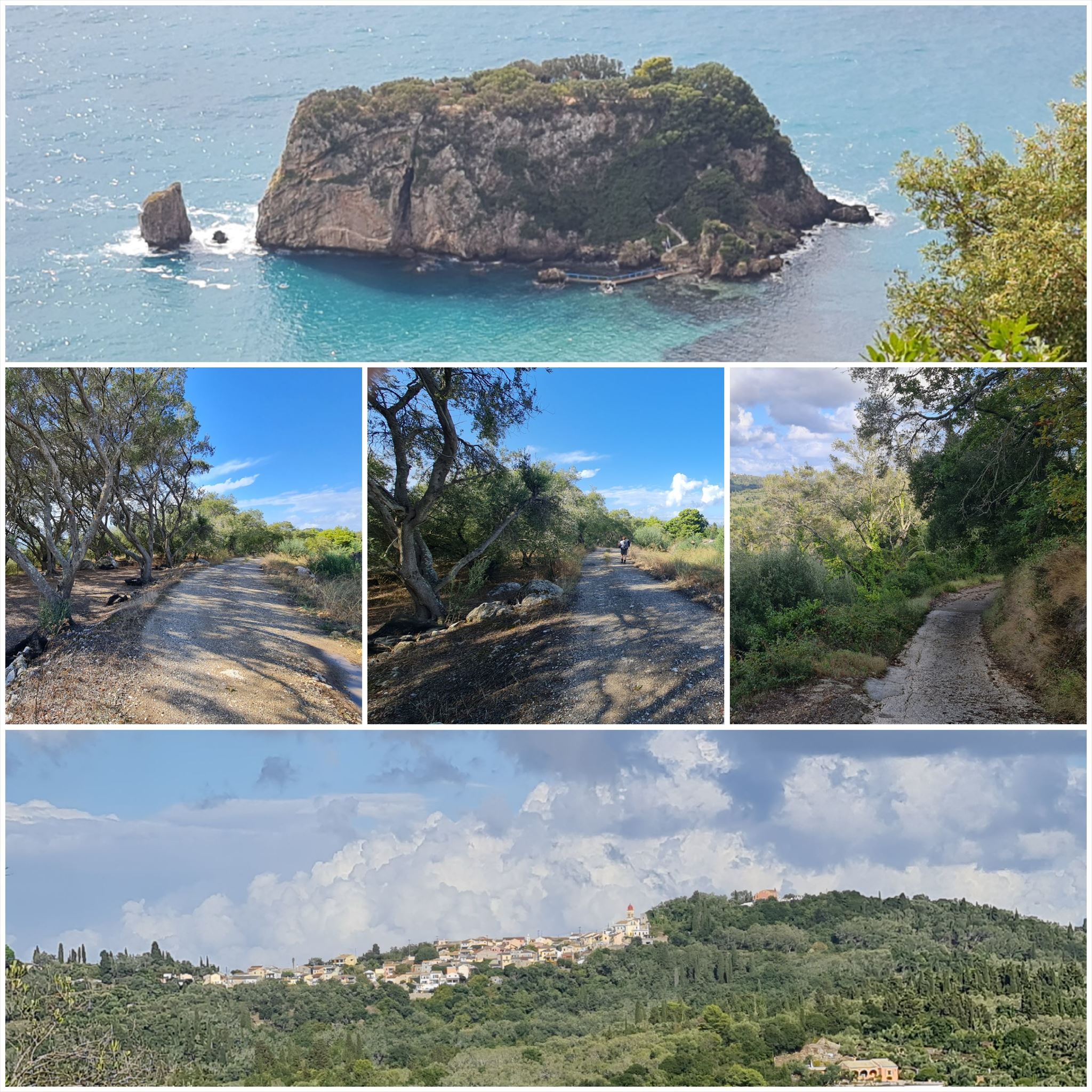
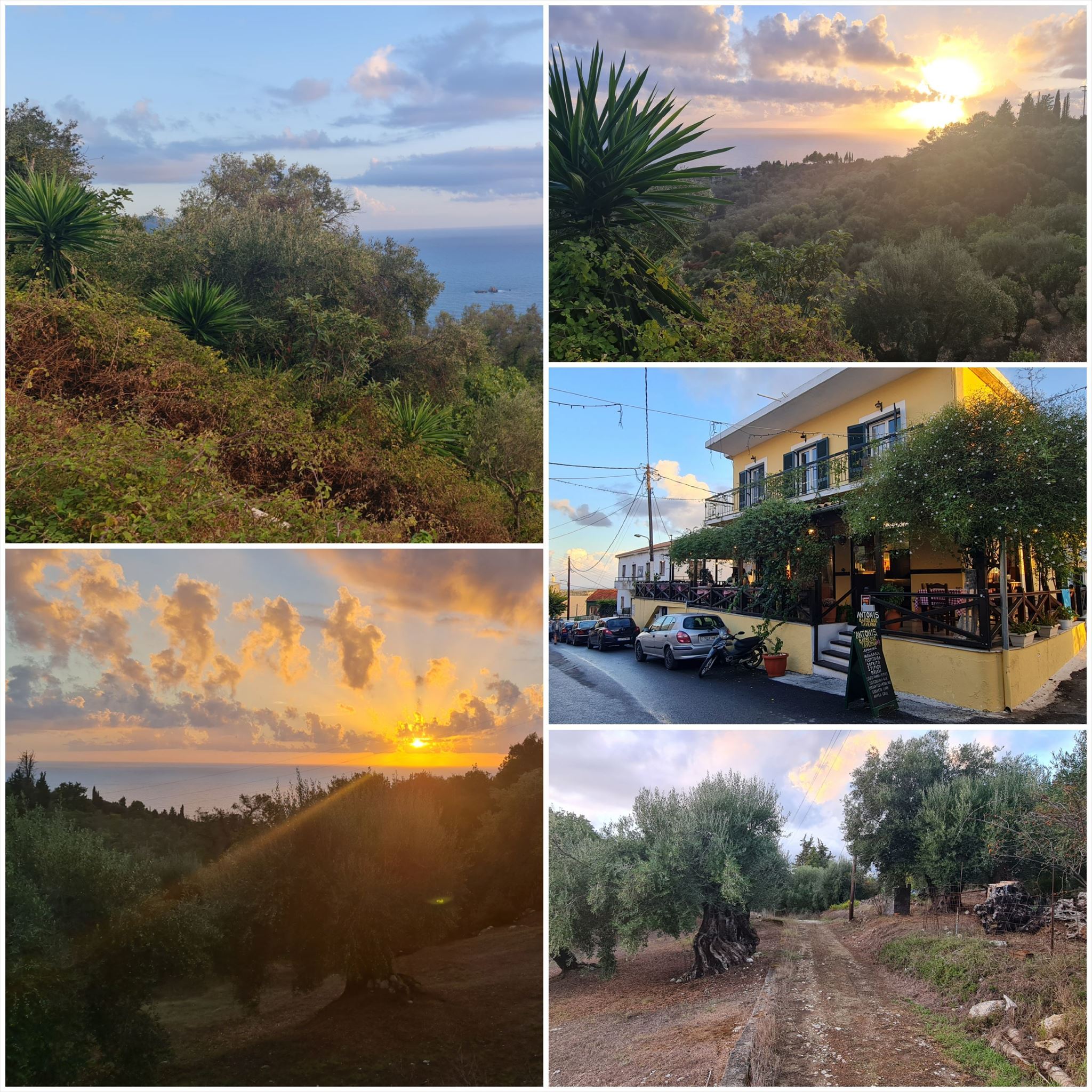
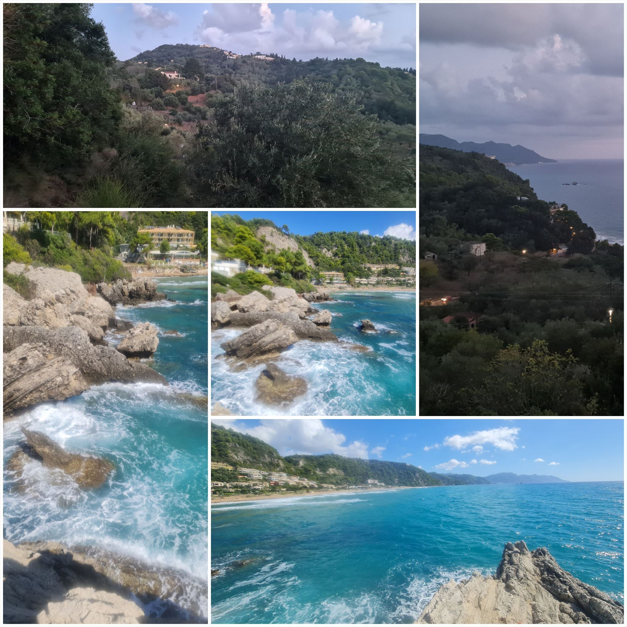
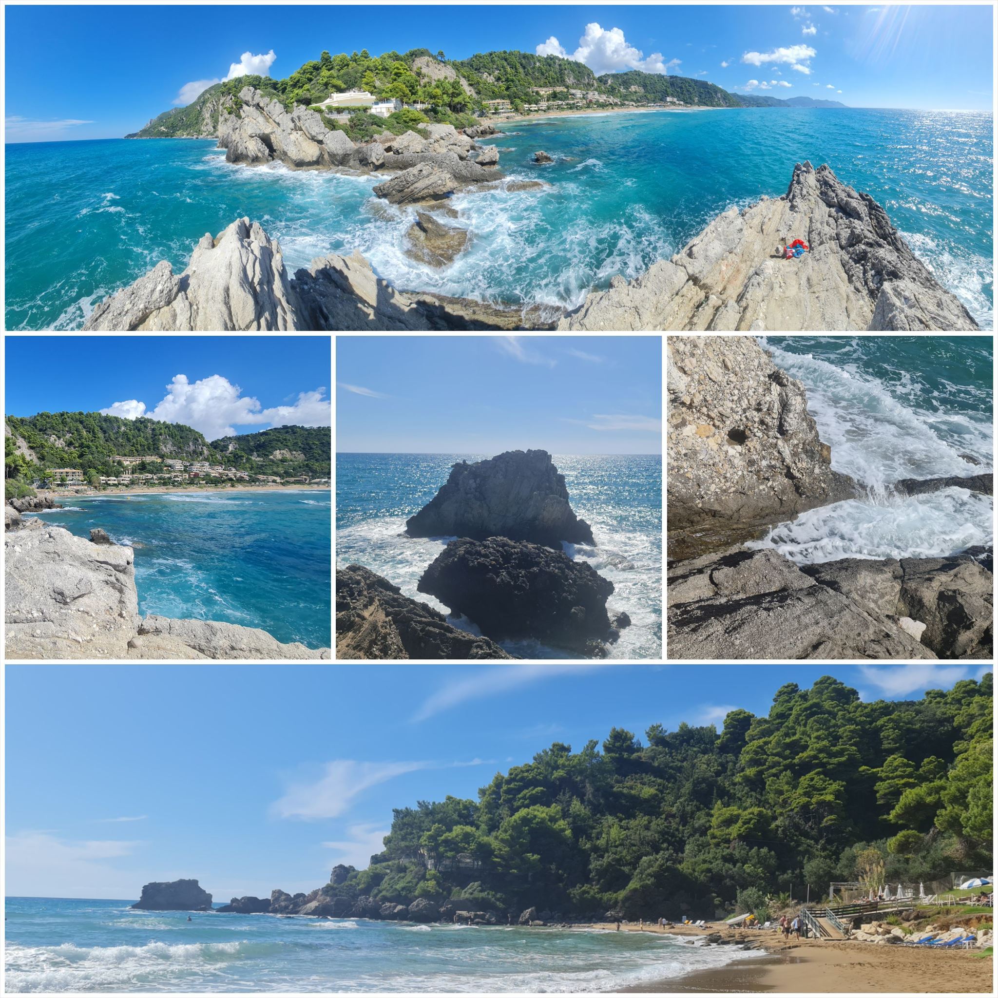
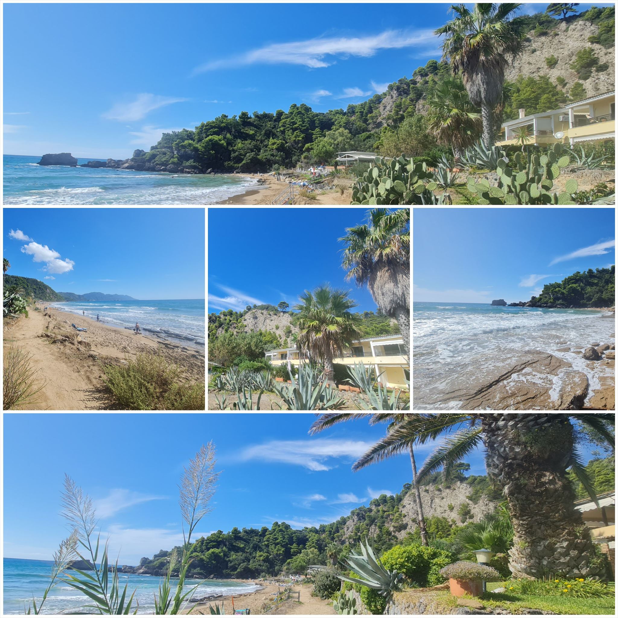
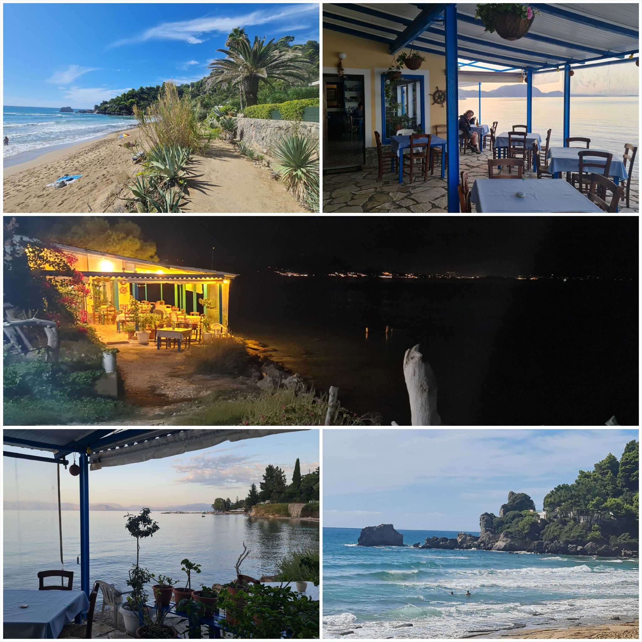
Το τοπίο αλλάζει από αμμώδεις παραλίες και αμμόλοφους στο νότο σε ελαιώνες και βουνά στη μέση και όμορφες παραλίες στα βόρεια.
Τα στάδια έχουν μήκος μεταξύ 10 και 18 χιλιομέτρων και πάντα ξεκινούν ή τελειώνουν εκεί όπου μπορείτε να βρείτε ένα δωμάτιο για τη νύχτα.
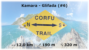
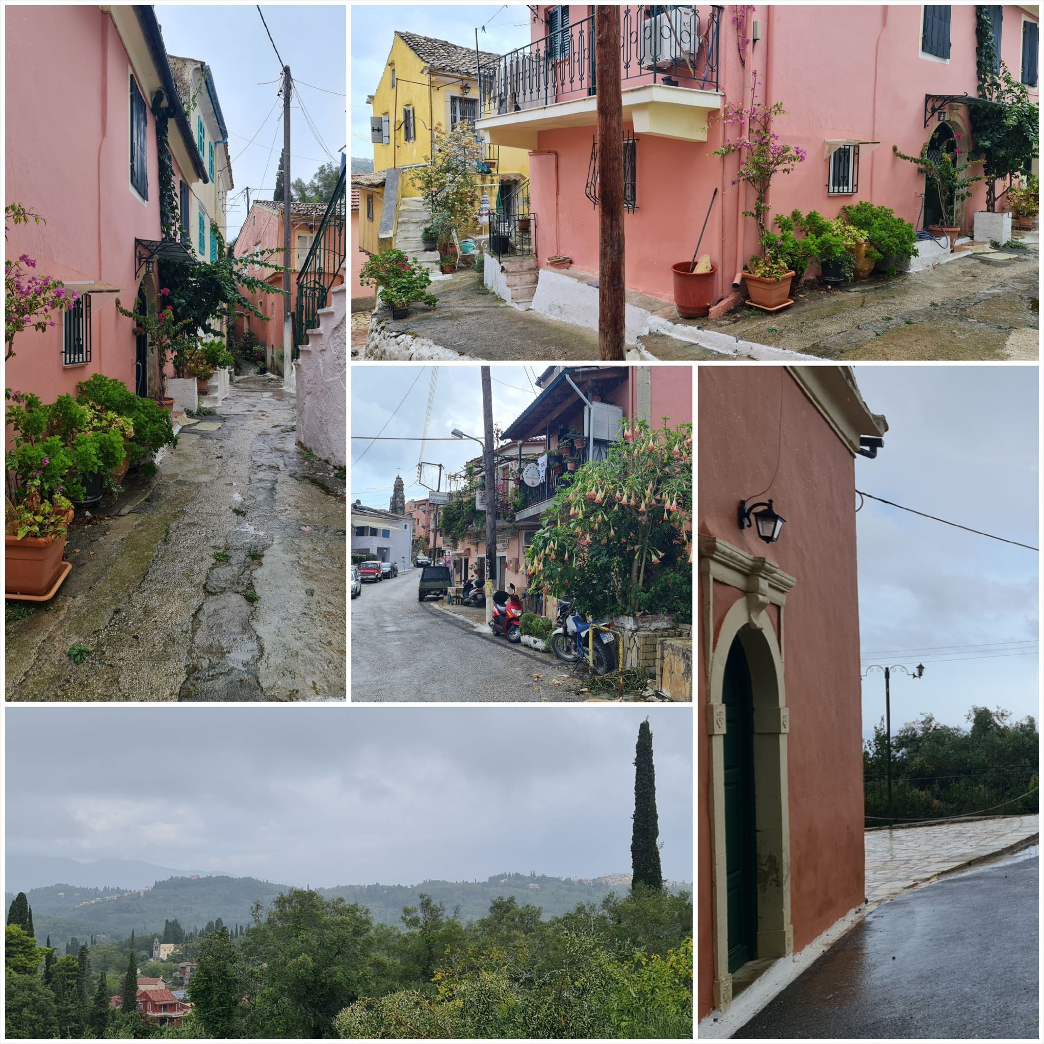
Φρομ Καμάρα το Γλυφάδα (#6)
Διαμονή (προαιρετικό και δεν απαιτείται για την εύρεση του geocache):
κάμερα: Georgia's Small House
Γλυφάδα: Glyfada Beach Hotel
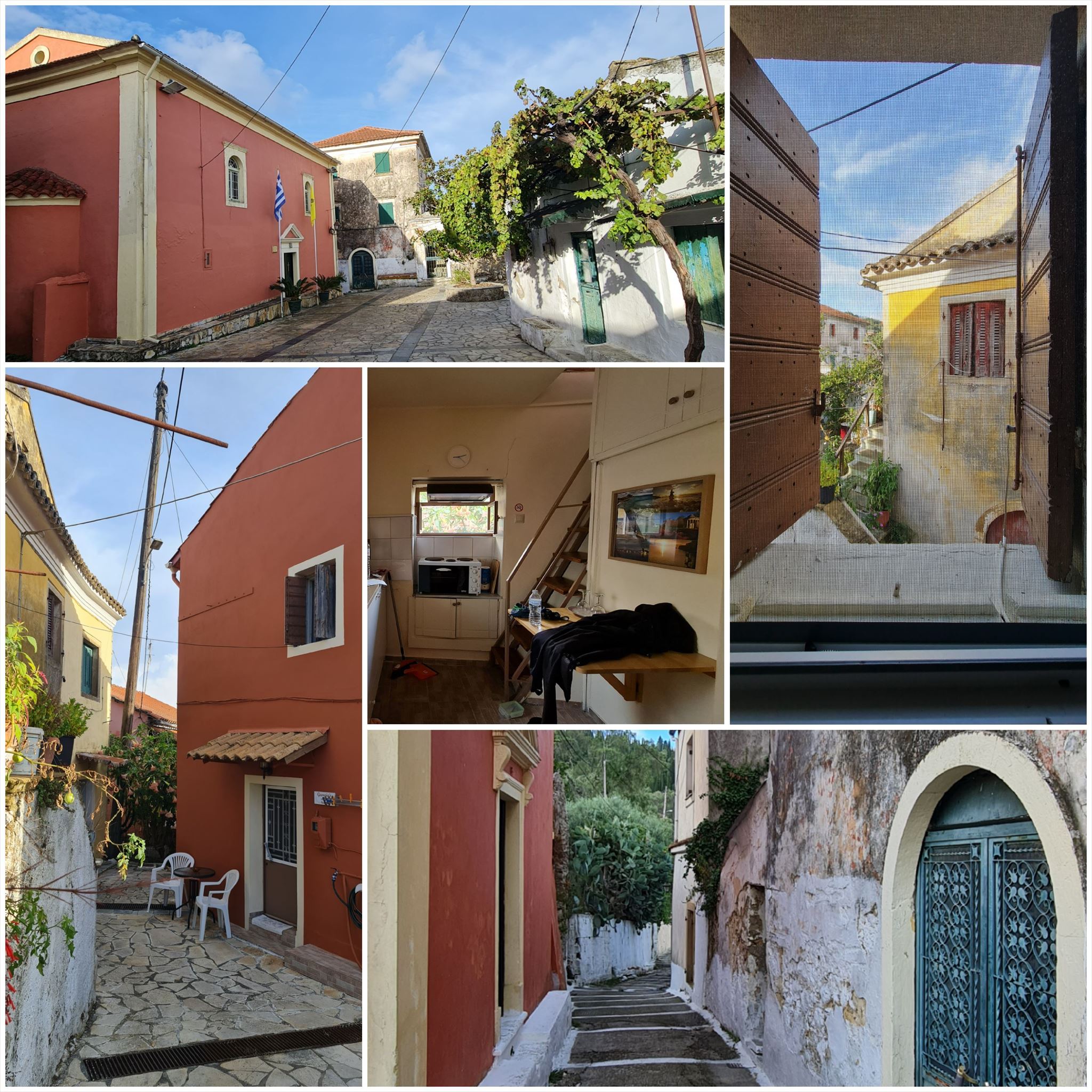
1. εργασία (Κρήνη στην εκκλησία):
N39° 33.413 E19° 51.882
Α = Σταυρό άθροισμα του έτους (4 ψηφία) στην τελευταία σειρά του πέτρινου πίνακα
2. εργασία (Εκκλησία):
N39° 33.933 E19° 50.976
B = Μετρήστε τα κουδούνια πάνω από την είσοδο
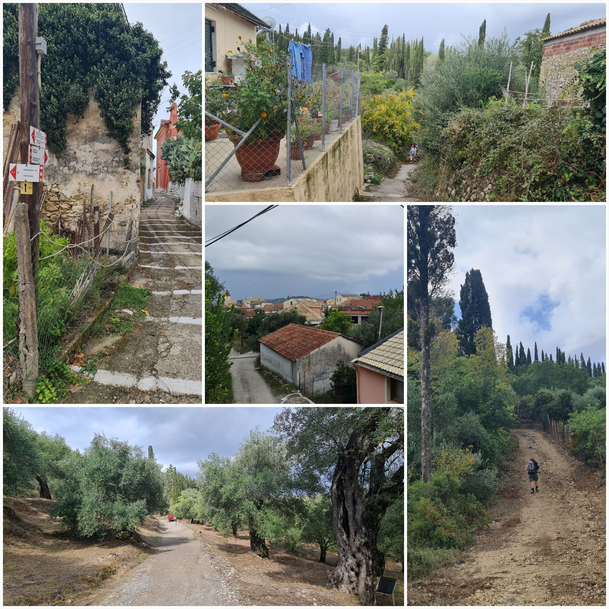
3. εργασία (Παλιό σπίτι):
N39° 34.023 E19° 50.826
C = Σταυρό άθροισμα του έτους (4 ψηφία) πάνω από την πόρτα
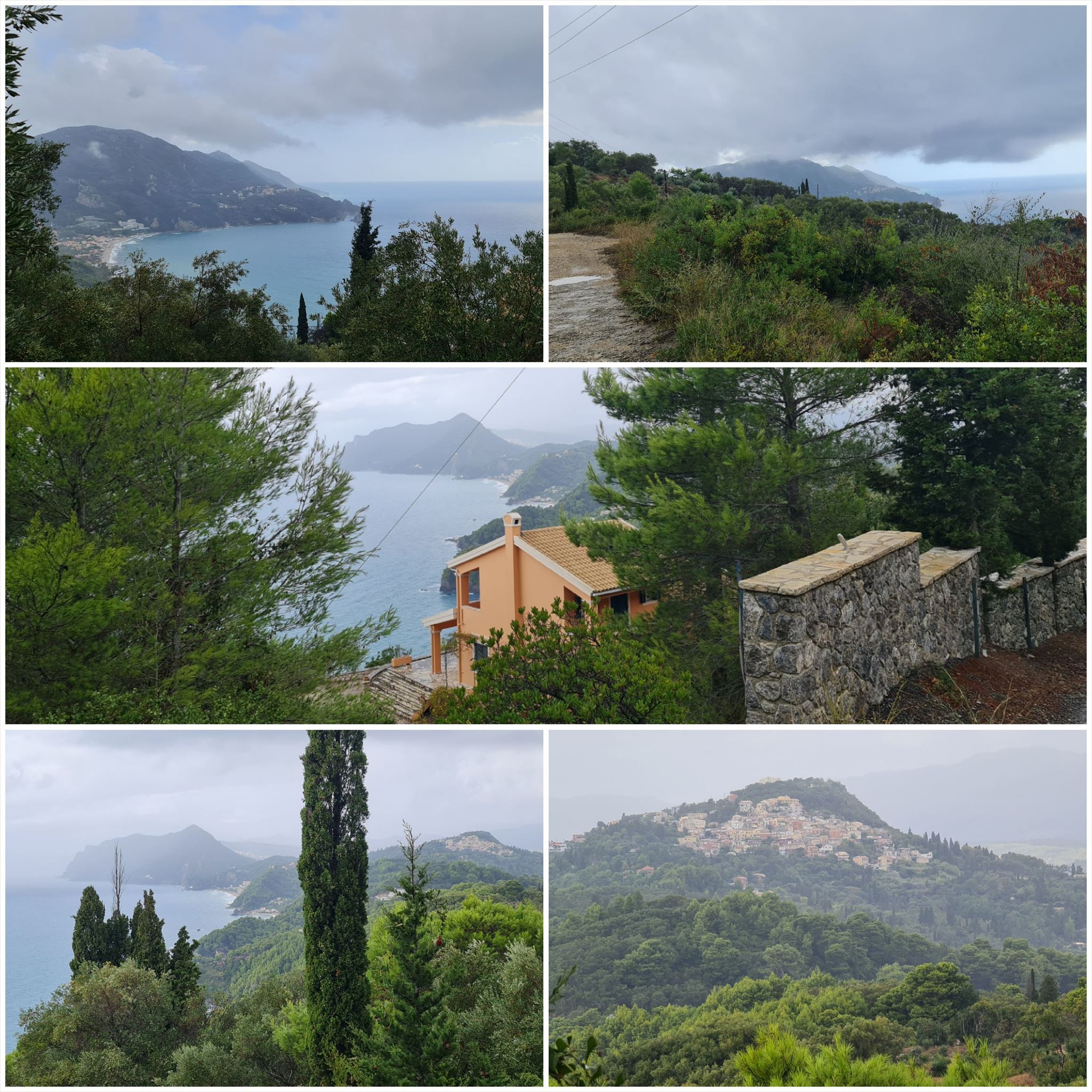
4. εργασία (Ομορφη ΘΕΑ):
N39° 34.197 E19° 50.183
D = How many nails are used to fix the metal sign that shows 3 letters?
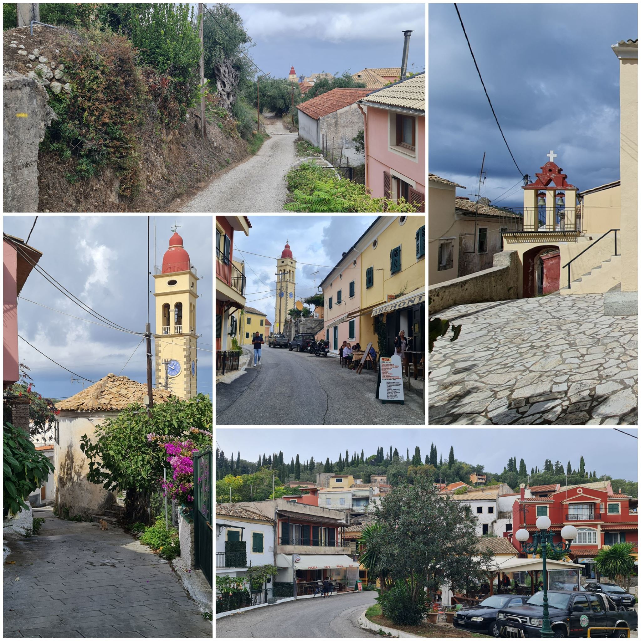
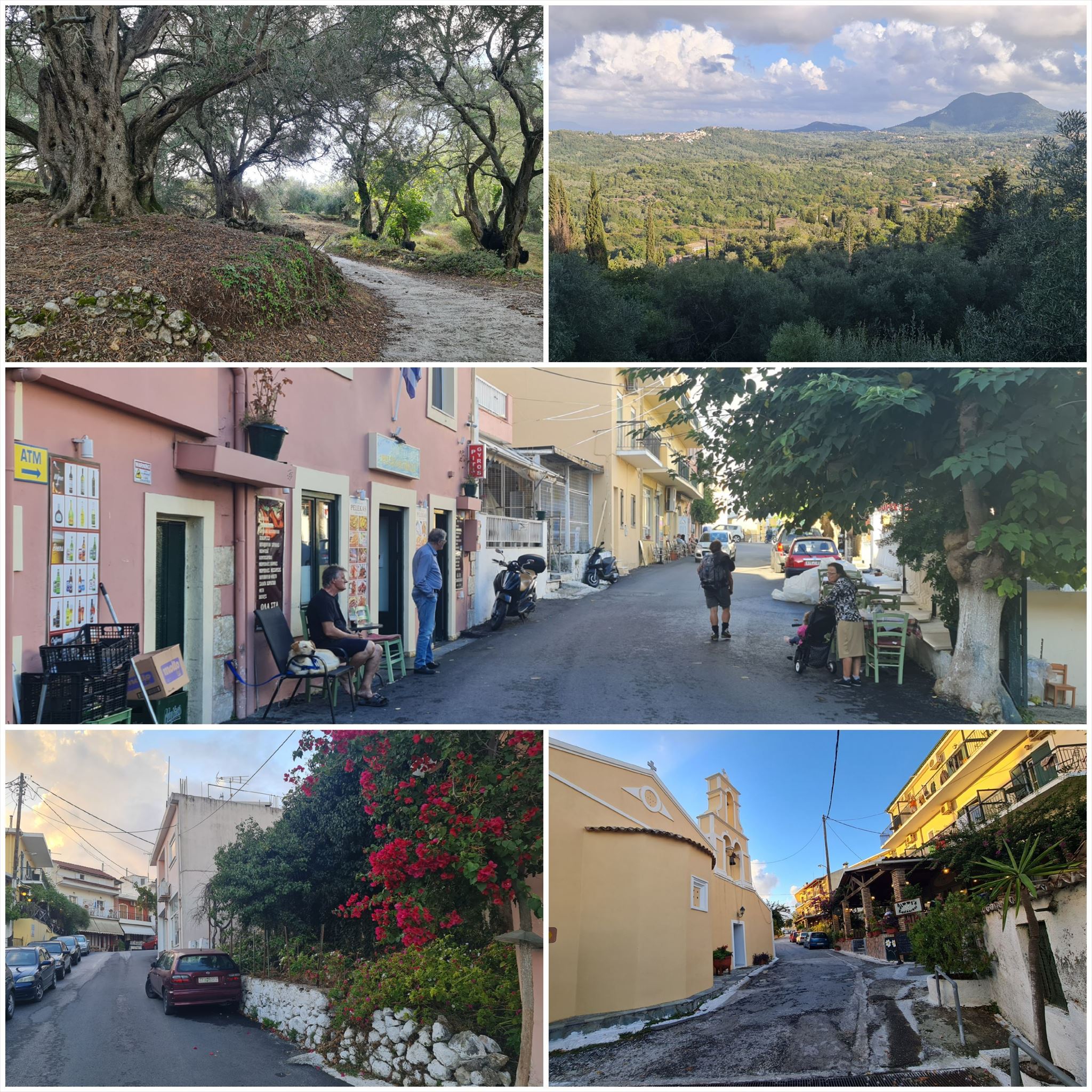
5. εργασία (Μικρό παρεκκλήσι):
N39° 34.678 E19° 49.953
E = Μετρήστε όλα τα παράθυρα του πύργου πάνω από την οροφή
6. εργασία (Μνημείο):
N39° 35.517 E19° 49.342
F = Πόσα σπαθιά μπορείτε να δείτε ?
7. εργασία (Μπλε πινακίδα):
N39° 35.846 E19° 48.663
G = Απόσταση από τον Πέλεκα
Τελικές συντεταγμένες:
"N39° 35." A*B*C*D-2434 " E19° 48." E*F*G+119

Σημειώστε τα χαρακτηριστικά και τη βαθμολογία (έδαφος / δυσκολία).
Μην βάζετε τον εαυτό σας σε κίνδυνο, αν ο καιρός είναι κακός, επιστρέψτε άλλη φορά.
Ως ιδιοκτήτης geocache, δεν είμαι υπεύθυνος για ατυχήματα.
Ο καθένας πρέπει να αποφασίσει μόνος του αν είναι εφικτό να φτάσει στον τελικό ή όχι.
The Corfu Trail is a long distance walking route from Kavos in the south of Corfu to Agios Spiridon in the north.
It was created by Hilary Paipeti in May 2001 and is about 220 km long.
The landscape changes from sandy beaches and dunes in the south to olive groves and mountains in the middle and beautiful beaches in the north.
The stages are between 10 and 18 kilometers long and always starts and ends where you can find a room for the night.
From Kamara to Glifada (#6)
Accommodation (optional and not needed to find the geocache):
Kamara: Georgia's Small House
Glifada: Glyfada Beach Hotel
1. task (Fountain at the church):
N39° 33.413 E19° 51.882
A = Cross sum of the year (4 digits) in the last row of the stone panel
2. task (Church):
N39° 33.933 E19° 50.976
B = Count the bells over the entrance
3. task (Old house):
N39° 34.023 E19° 50.826
C = Cross sum of the year (4 digits) over the door
4. task (Beautiful view):
N39° 34.197 E19° 50.183
D = How many nails are used to fix the metal sign that shows 3 letters
5. task (Small chapel):
N39° 34.678 E19° 49.953
E = Count all windows of the tower above the roof
6. task (Monument):
N39° 35.517 E19° 49.342
F = How many swords can you see ?
7. task (Blue road sign):
N39° 35.846 E19° 48.663
G = Distance to Pelekas
Final coordinates:
"N39° 35." A*B*C*D-2434 " E19° 48." E*F*G+119
Please note the attributes and the rating (terrain / difficulty).
Don't put yourself in danger, if the weather is bad, come back another time.
As a geocache owner, I am not responsible for accidents.
Everyone has to decide for themselves whether reaching the final is possible or not.
Der Corfu Trail ist ein Fernwanderweg von Kavos im Süden von Korfu nach Agios Spiridon im Norden.
Er wurde im Mai 2001 von Hilary Paipeti angelegt und ist etwa 220 km lang.
Die Landschaft wechselt von Sandstränden und Dünen im Süden zu Olivenhainen und Bergen in der Mitte und wunderschönen Stränden im Norden.
Die Etappen sind zwischen 10 und 18 Kilometer lang und beginnen bzw. enden immer dort wo man ein Zimmer für die Nacht finden kann.
Von Kamara nach Glifada (#6)
Unterkünfte (optional und nicht notwendig um den Geocache zu finden):
Kamara: Georgia's Small House
Glifada: Glyfada Beach Hotel
1. Aufgabe (Brunnen an der Kirche):
N39° 33.413 E19° 51.882
A = Quersumme des Jahres (4 Ziffern) in der letzten Zeile der Steintafel
2. Aufgabe (Kirche):
N39° 33.933 E19° 50.976
B = Zählt die Glocken über dem Eingang
3. Aufgabe (Altes Haus):
N39° 34.023 E19° 50.826
C = Quersumme des Jahres (4 Ziffern) über der Tür
4. Aufgabe (Schöne Aussicht):
N39° 34.197 E19° 50.183
D = Wie viele Nägel wurden benutzt um das Metallschild mit 3 Buchstaben zu befestigen
5. Aufgabe (Kleine Kapelle):
N39° 34.678 E19° 49.953
E = Zählt alle Fenster des Turmes über dem Dach
6. Aufgabe (Denkmal):
N39° 35.517 E19° 49.342
F = Wie viele Schwerter könnt Ihr sehen ?
7. Aufgabe (Blaues Straßenschild):
N39° 35.846 E19° 48.663
G = Entfernung nach Pelekas
Final Koordinaten:
"N39° 35." A*B*C*D-2434 " E19° 48." E*F*G+119
Bitte beachtet die Attribute sowie die Bewertung (Gelände / Schwierigkeit).
Begebt Euch nicht in Gefahr, bei schlechtem Wetter kommt lieber ein anderes Mal wieder.
Als Geocache Eigentümer übernehme ich keine Haftung bei Unfällen.
Jeder muß für sich selbst entscheiden ob im das Ereichen des Finals möglich ist oder nicht.
Πανό για το προφίλ σας: Banner for your profile: Banner für Dein Profil:
<a href="http://coord.info/GCA0CMX><img src="https://img.geocaching.com:443/d6642aea-9b7d-494d-a620-e22aa3493393.png" width="300" height="169" /></a>