|
|
 |
FTF: Trinity2712 |
STF: matsut |
TTF: Azulka |
| |
 Άλλα δημοσιευμένα στάδια του "Corfu Trail"
  Other published stages of the "Corfu Trail"
  Weitere veröffentlichte Etappen des „Corfu Trail“
Το Corfu Trail είναι μια μεγάλη απόσταση με τα πόδια από τον Κάβο στα νότια της Κέρκυρας μέχρι τον Άγιο Σπυρίδωνα στα βόρεια.
Δημιουργήθηκε από τον Hilary Paipeti τον Μάιο του 2001 και έχει μήκος περίπου 220 χιλιόμετρα.
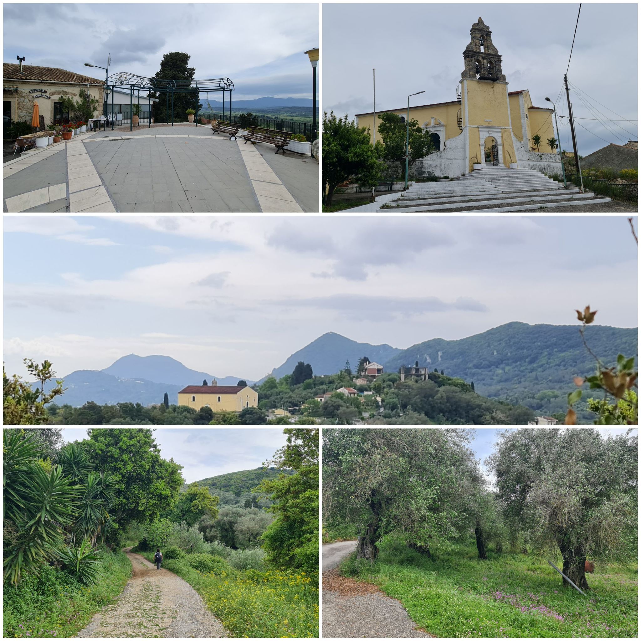
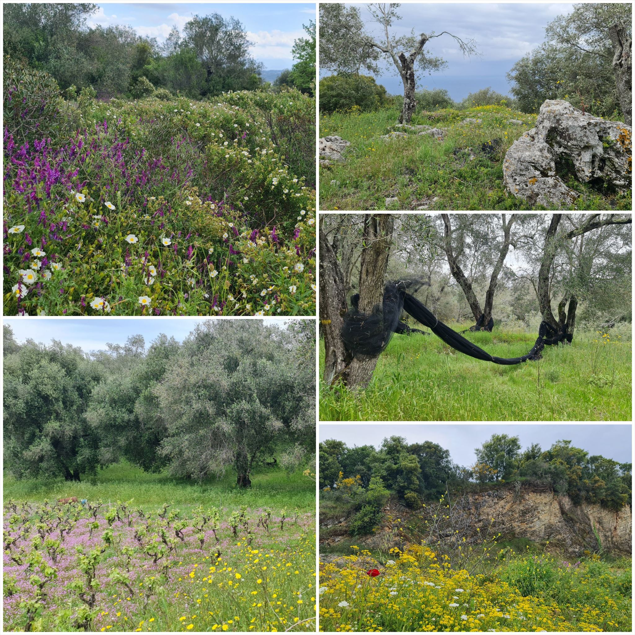
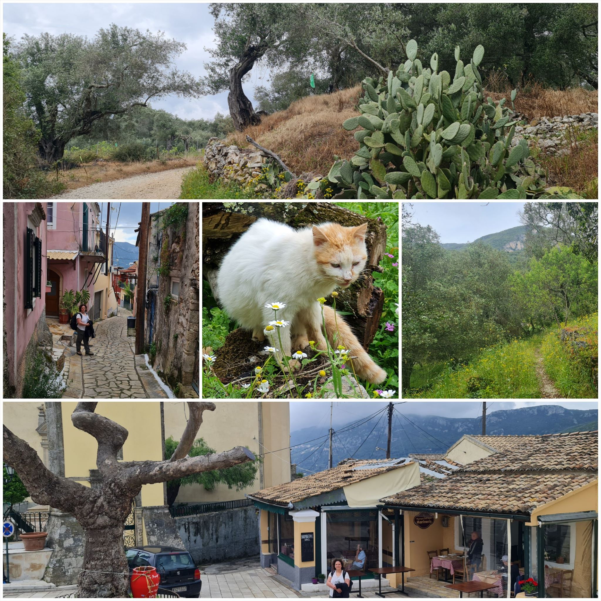
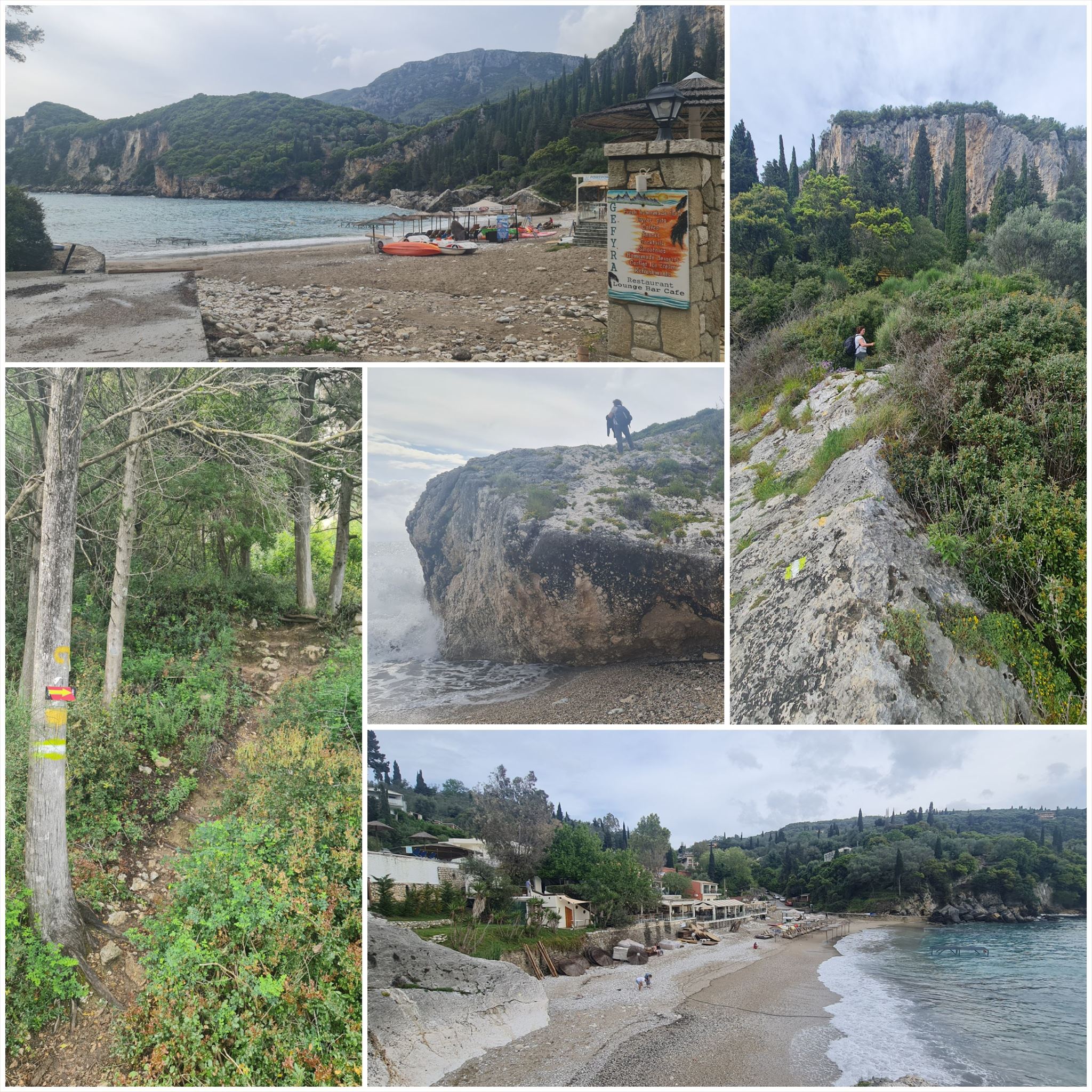
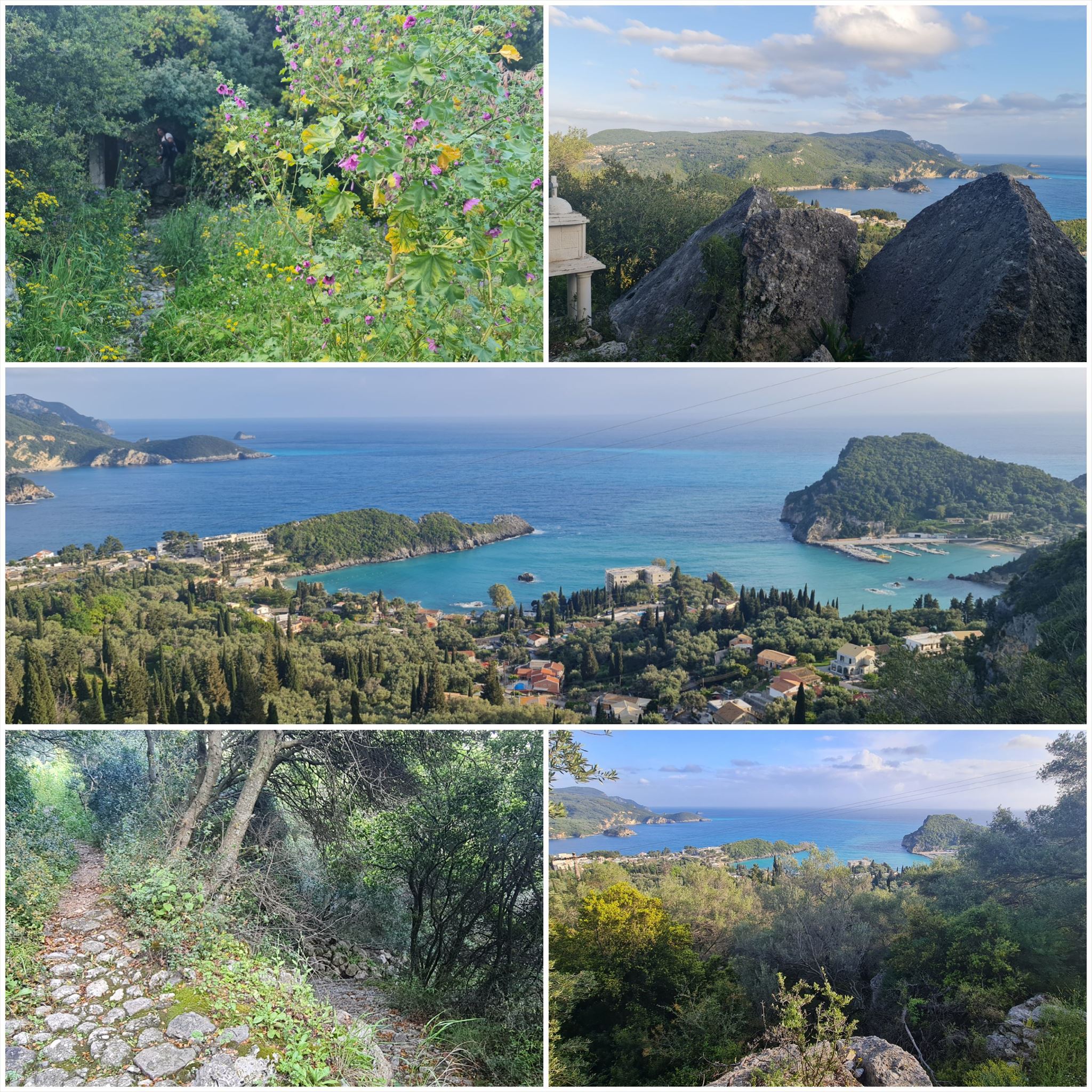
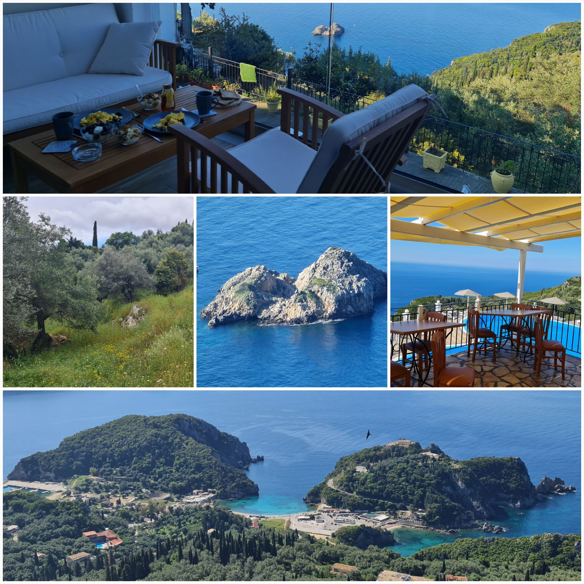
Το τοπίο αλλάζει από αμμώδεις παραλίες και αμμόλοφους στο νότο σε ελαιώνες και βουνά στη μέση και όμορφες παραλίες στα βόρεια.
Τα στάδια έχουν μήκος μεταξύ 10 και 18 χιλιομέτρων και πάντα ξεκινούν ή τελειώνουν εκεί όπου μπορείτε να βρείτε ένα δωμάτιο για τη νύχτα.
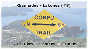
Από Γιαννάδες στους Λάκωνες (#8)
Διαμονή (προαιρετικό και δεν απαιτείται για την εύρεση του geocache):
Γιαννάδες: Auntie Katies's House
Λάκωνες: Lakones Deluxe Suites
1. εργασία (Μνημείο):
N39° 37.912 E19° 45.725
A = Πόσα σπαθιά βλέπετε στην πέτρινη πλάκα στο μνημείο?
2. εργασία (Κεραίες):
N39° 38.583 E19° 44.848
Κοιτάξτε προς τα αριστερά προς την κατεύθυνση της βόλτας σας.
B = Πόσους μεγάλους ιστούς με κεραίες βλέπετε στο βάθος?
3. εργασία (Σπίτι στον ελαιώνα):
N39° 38.464 E19° 44.571
Πήγαινε στη μεγάλη πέτρα πίσω από το σπίτι.
C = Πόσα πλακάκια κορυφογραμμής υπάρχουν στη σειρά στην κορυφογραμμή της στέγης?
4. εργασία (Μικρό παρεκκλήσι):
N39° 39.618 E19° 44.210
D = Πόσες αιχμές του τρισδιάστατου σταυρού του σιδήρου κοιτάζουν στον αέρα?
5. εργασία (Πουλί):
N39° 40.508 E19° 43.717
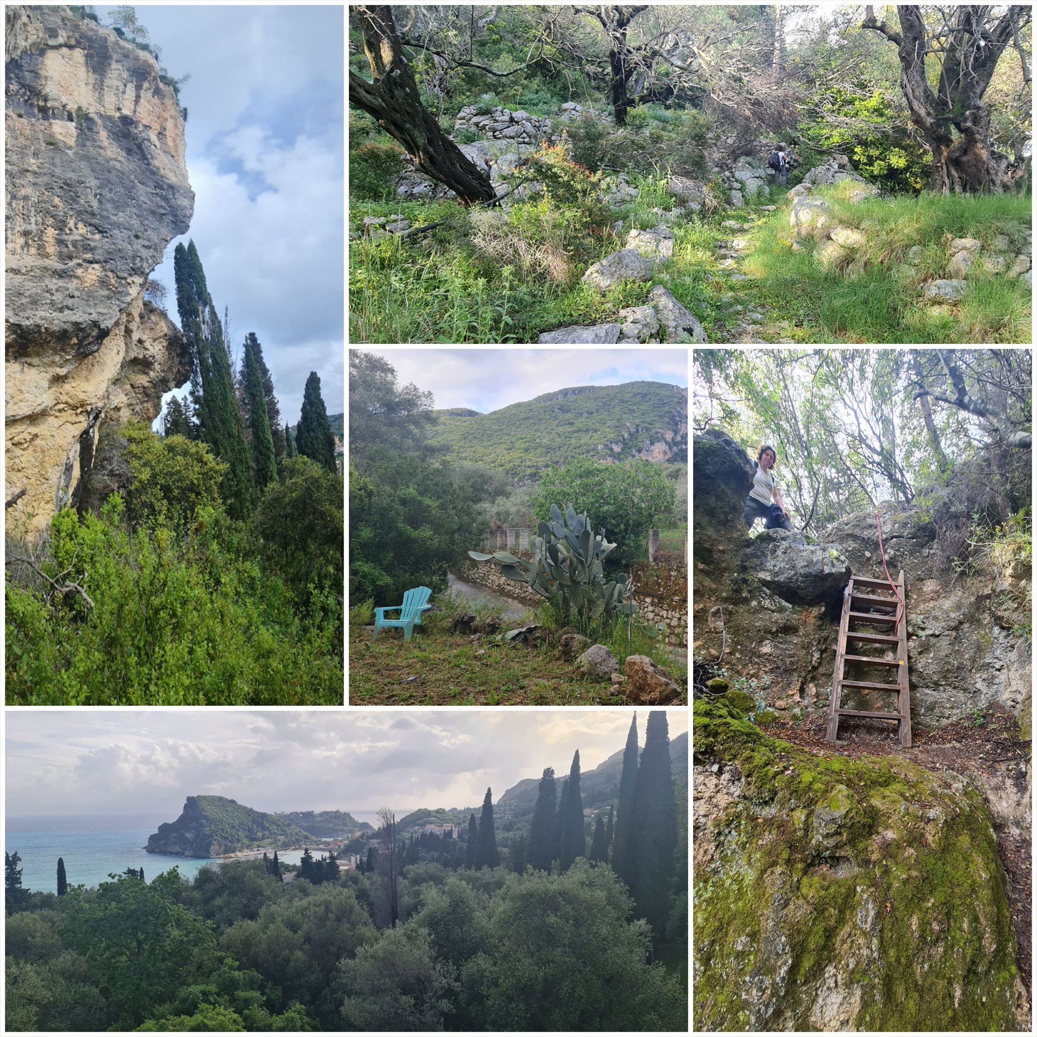
Ανεβείτε τη σκάλα, αφήστε το pazh προς τα αριστερά και περπατήστε στην κορυφογραμμή περίπου 6 μέτρα μέχρι να βρείτε μερικές πέτρες. Κάτω από τις πέτρες υπάρχει ένα στρογγυλό πλαστικό κουτί που περιέχει ένα αντικείμενο από σίδηρο. Στη μία πλευρά μπορείτε να δείτε την εικόνα ενός πουλιού.
E = θέση στο αλφάβητο του πρώτου γράμματος. Χρησιμοποιήστε το αγγλικό όνομα, θα βρείτε το όνομα επίσης στο πίσω μέρος του αντικειμένου ;-)
6. εργασία (Λευκό παρεκκλήσι):
N39° 40.767 E19° 42.819
F = Μετρήστε τους στύλους στους οποίους στέκεται το λευκό παρεκκλήσι
Σημείο αναφοράς:
N39° 40.774 E19° 41.819
Χρησιμοποιήστε τις σκάλες για πρόσβαση στην τελική θέση
Τελικές συντεταγμένες:
"N39° 40." A*B*C+726 " E19° 41." D*E*F+410

The Corfu Trail is a long distance walking route from Kavos in the south of Corfu to Agios Spiridon in the north.
It was created by Hilary Paipeti in May 2001 and is about 220 km long.
The landscape changes from sandy beaches and dunes in the south to olive groves and mountains in the middle and beautiful beaches in the north.
The stages are between 10 and 18 kilometers long and always starts and ends where you can find a room for the night.
From Giannades to Lakones (#8)
Accommodation (optional and not needed to find the geocache):
Giannades: Auntie Katies's House
Lakones: Lakones Deluxe Suites
1. task (Monument):
N39° 37.912 E19° 45.725
A = How many sabers do you see on the stone plate at the monument ?
2. task (Antennas):
N39° 38.583 E19° 44.848
Look to the left in direction of your walk.
B = How many large masts with antennas do you see in the distance?
3. task (House in olive grove):
N39° 38.464 E19° 44.571
Go to the big stone behind the house.
C = How many ridge tiles are in a row on the ridge of the roof?
4. task (Small chapel):
N39° 39.618 E19° 44.210
D = How many spikes of the 3 demensional cross of iron are looking into the air?
5. task (Bird):
N39° 40.508 E19° 43.717
Climb up the ladder, leave the path to the left and walk on the ridge about 6 meters until you find some stones. Below the stones there is a round plastic box containing an object of iron. On one side you can see the picture of a bird.
E = position in the alphabet of the first letter. Use english name, you will find the name also on the backside of the object ;-)
6. task (White chapel):
N39° 40.767 E19° 42.819
F = Count the pillars on which the white chapel stands
Reference point:
N39° 40.774 E19° 41.819
Use the stairs to access the final position
Final coordinates:
"N39° 40." A*B*C+726 " E19° 41." D*E*F+410
Der Corfu Trail ist ein Fernwanderweg von Kavos im Süden von Korfu nach Agios Spiridon im Norden.
Er wurde im Mai 2001 von Hilary Paipeti angelegt und ist etwa 220 km lang.
Die Landschaft wechselt von Sandstränden und Dünen im Süden zu Olivenhainen und Bergen in der Mitte und wunderschönen Stränden im Norden.
Die Etappen sind zwischen 10 und 18 Kilometer lang und beginnen bzw. enden immer dort wo man ein Zimmer für die Nacht finden kann.
Von Giannades nach Lakones (#8)
Unterkünfte (optional und nicht notwendig um den Geocache zu finden):
Giannades: Auntie Katies's House
Lakones: Lakones Deluxe Suites
1. Station (Mahnmal):
N39° 37.912 E19° 45.725
A = Wie viele Säbel siehst Du auf der Steintafel am Mahnmal ?
2. Station (Antennen):
N39° 38.583 E19° 44.848
Schaue nach links in Laufrichtung.
B = Wie viele große Masten mit Antennen siehst Du in der Ferne?
3. Station (Haus in Olivenhain):
N39° 38.464 E19° 44.571
Gehe zu dem großen Stein hinter dem Haus.
C = Wie viele Firstziegeln liegen in einer Reihe auf dem Dachfirst?
4. Station (Kleine Kapelle):
N39° 39.618 E19° 44.210
D = Wie viele Spitzen des 3 dimensionalen Eisenkreuzes ragen in die Luft?
5. Station (Bird):
N39° 40.508 E19° 43.717
Klettere die Leiter hinauf, verlasse den Pfad nach links und gehe auf dem Grat ca. 6 Meter bis Du ein paar Steine findest. Unter den Steinen liegt eine runde Plastikdose die ein Objekt aus Eisen enthält. Auf einer Seite siehst Du das Bild eines Vogels.
E = Position im Alphabet des 1. Buchstabens. Verwende den englischen Namen, Du findest den Namen auch auf der Rückseite des Objektes ;-)
6. Station (Weiße Kapelle):
N39° 40.767 E19° 42.819
F = Zähle die Säulen auf welchen die weiße Kapelle steht
Referenzpunkt:
N39° 40.774 E19° 41.819
Benutze die Treppe um zum Final zu gelangen
Final Koordinaten:
"N39° 40." A*B*C+726 " E19° 41." D*E*F+410
Πανό για το προφίλ σας: Banner for your profile: Banner für Dein Profil:
<a href="http://coord.info/GCA836C><img src="https://img.geocaching.com:443/688cd012-44d2-447b-8b41-9ee80fa8dc82.png" width="300" height="169" /></a>