|
|
 |
FTF: matsut |
STF: - |
TTF: - |
| |
 Άλλα δημοσιευμένα στάδια του "Corfu Trail"
  Other published stages of the "Corfu Trail"
  Weitere veröffentlichte Etappen des „Corfu Trail“
Το Corfu Trail είναι μια μεγάλη απόσταση με τα πόδια από τον Κάβο στα νότια της Κέρκυρας μέχρι τον Άγιο Σπυρίδωνα στα βόρεια.
Δημιουργήθηκε από τον Hilary Paipeti τον Μάιο του 2001 και έχει μήκος περίπου 220 χιλιόμετρα.
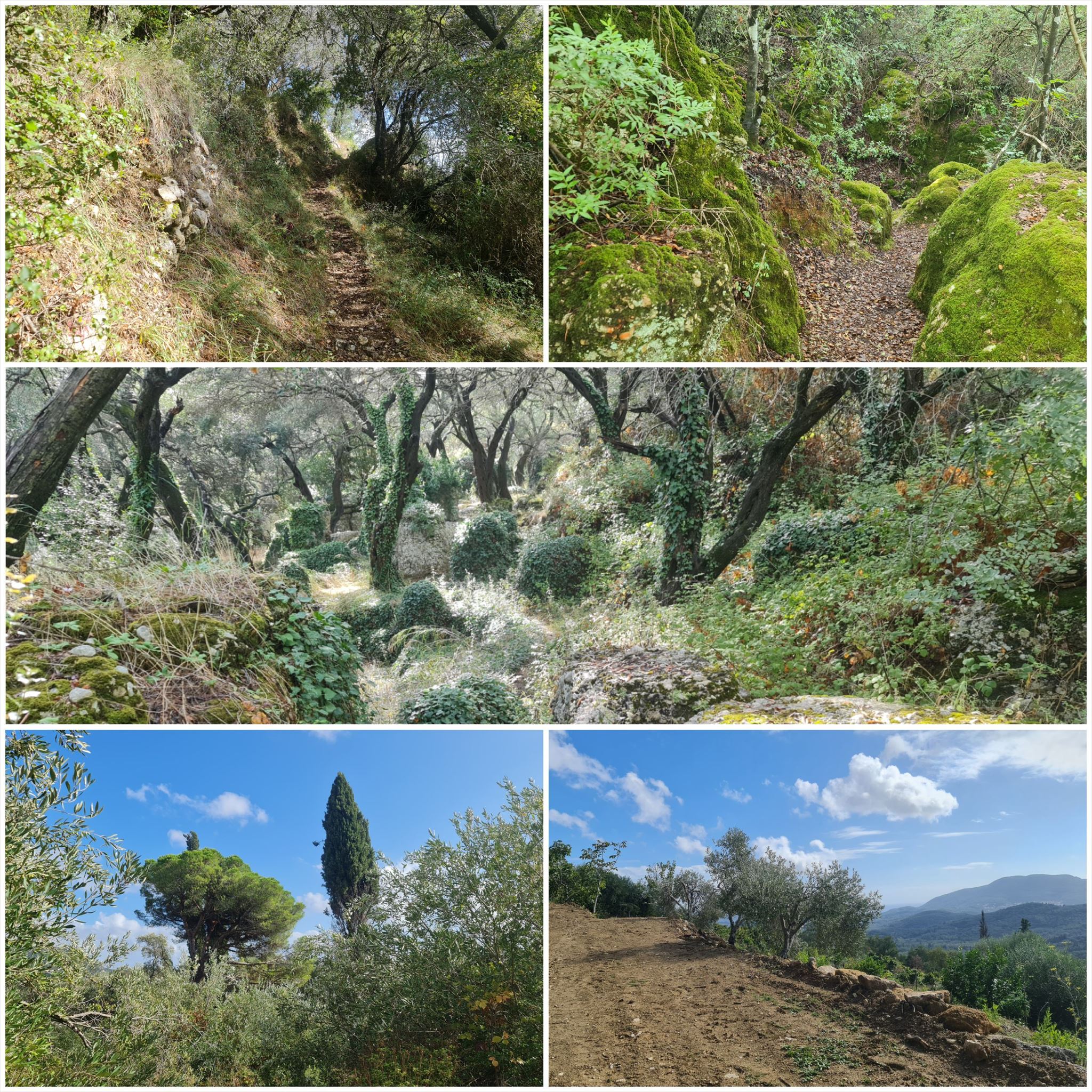
Το τοπίο αλλάζει από αμμώδεις παραλίες και αμμόλοφους στο νότο σε ελαιώνες και βουνά στη μέση και όμορφες παραλίες στα βόρεια.
Τα στάδια έχουν μήκος μεταξύ 10 και 18 χιλιομέτρων και πάντα ξεκινούν ή τελειώνουν εκεί όπου μπορείτε να βρείτε ένα δωμάτιο για τη νύχτα.
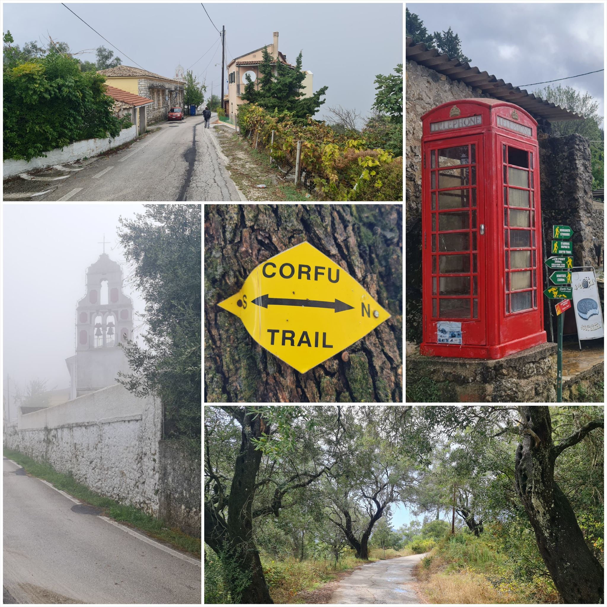
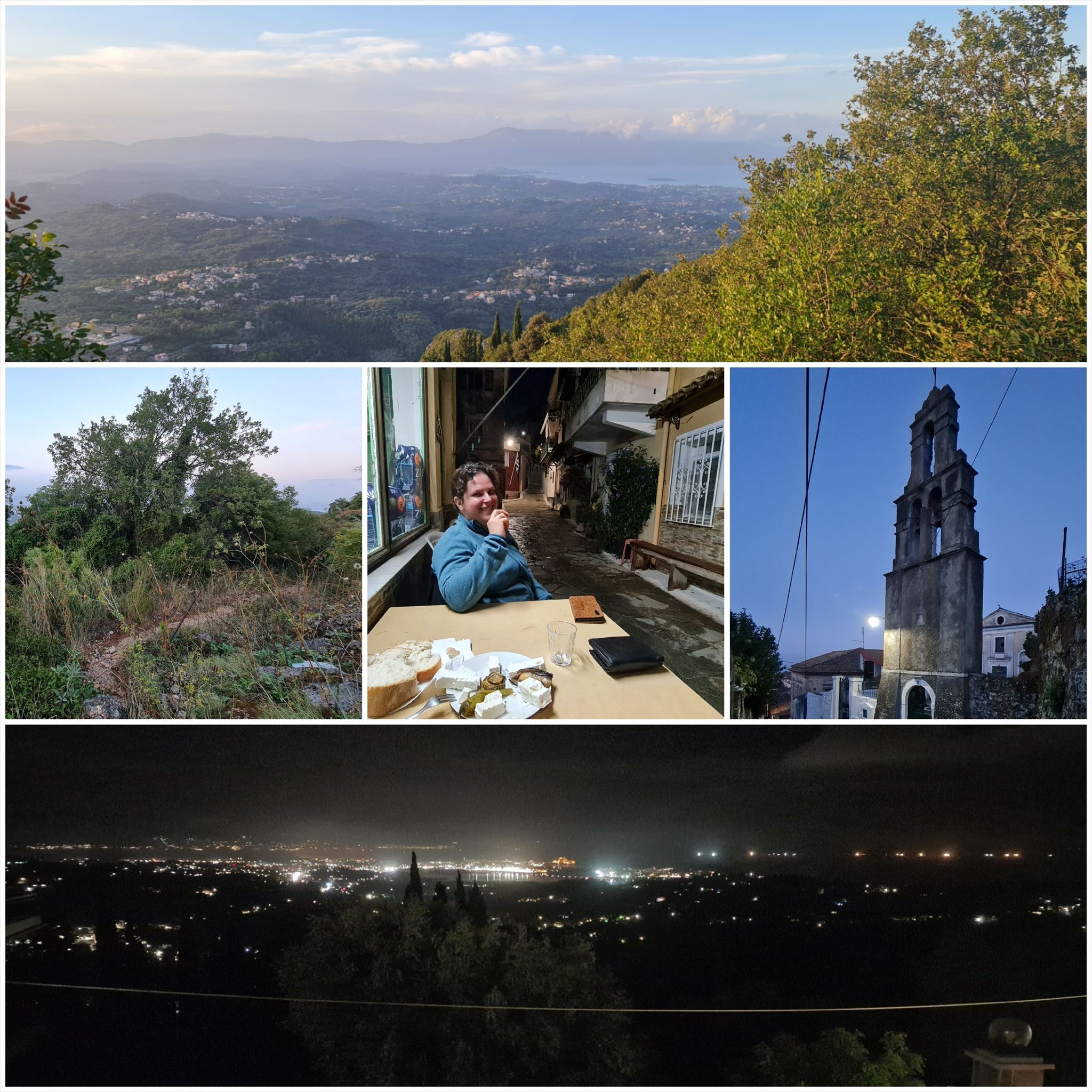
Από τα Δαφνάτα στην Καμάρα (#5)
Διαμονή (προαιρετικό και δεν απαιτείται για την εύρεση του geocache):
Δαφνάτα: Kosta's Walkers Point
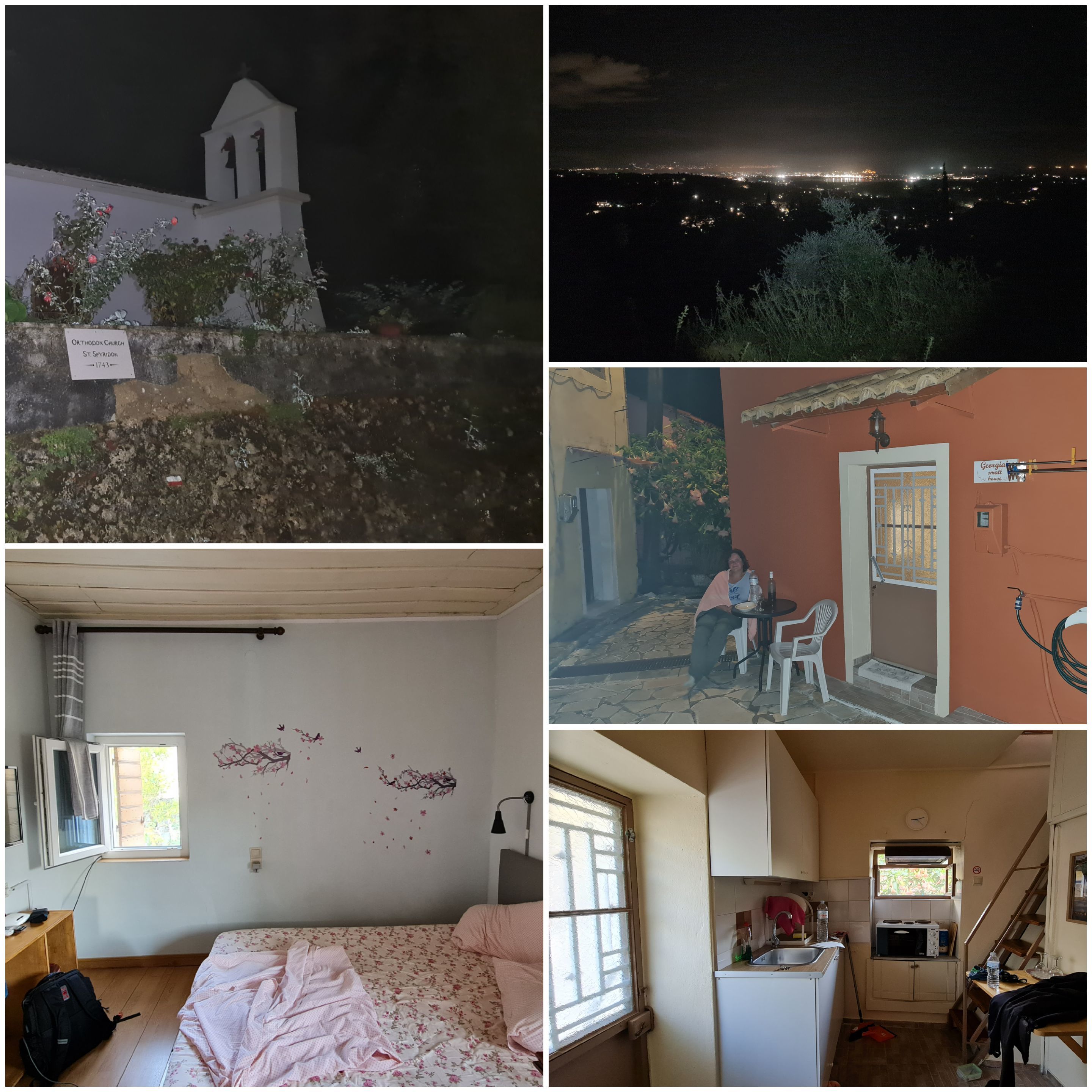
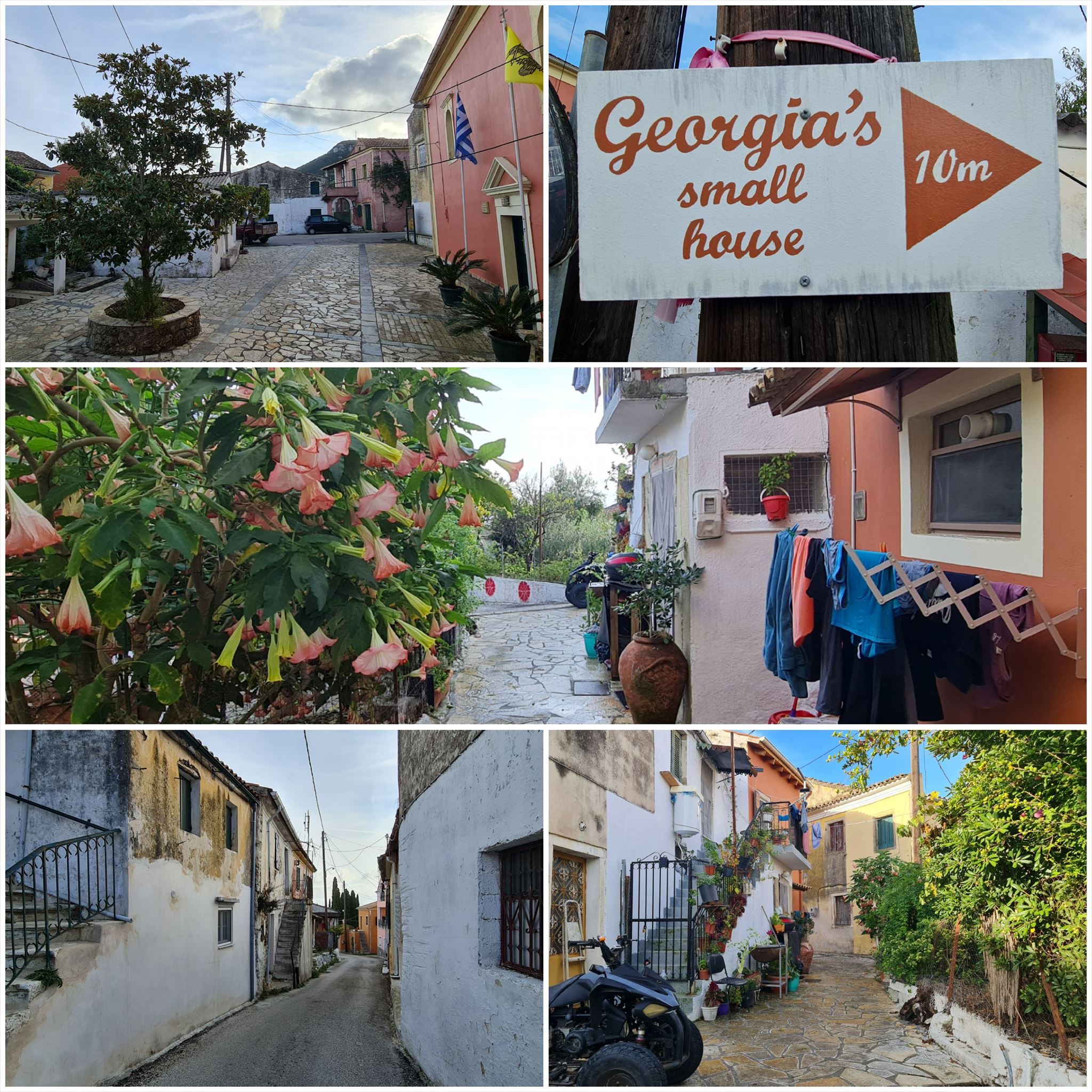
κάμερα: Georgia's Small House
1. εργασία (τηλεφωνικό θάλαμο):
N39° 31.987 E019° 54.397
Α = Μετρήστε τις χρυσές κορώνες στο θάλαμο τηλέφωνο
2. εργασία (Μικρό παρεκκλήσι):
N39° 32.373 E019° 53.762
B = Μετρήστε τα φανάρια στον μπροστινό τοίχο του μικρού παρεκκλησίου
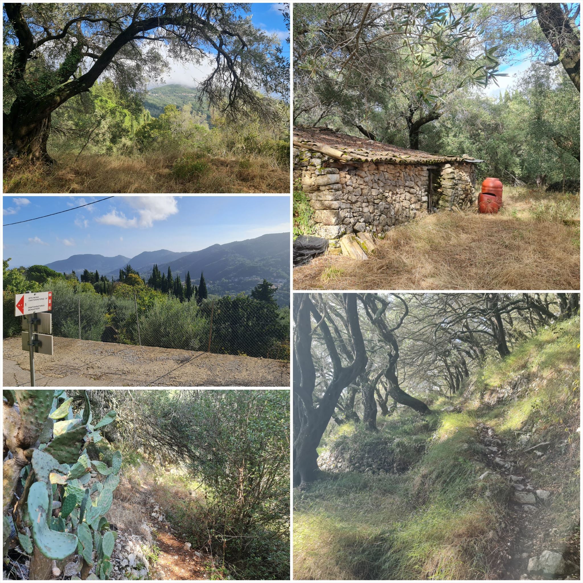
3. εργασία (Παλιό πέτρινο σπίτι):
N39° 32.285 E019° 52.927
Πού κατασκευάστηκε η μεταλλική κλειδαριά στην ξύλινη πόρτα;
C = Θέση του πρώτου γράμματος στο αλφάβητο
4. εργασία (Μικρή Εκκλησία):
N39° 32.882 E019° 52.644
D = Μετρήστε τους σταυρούς στην πόρτα
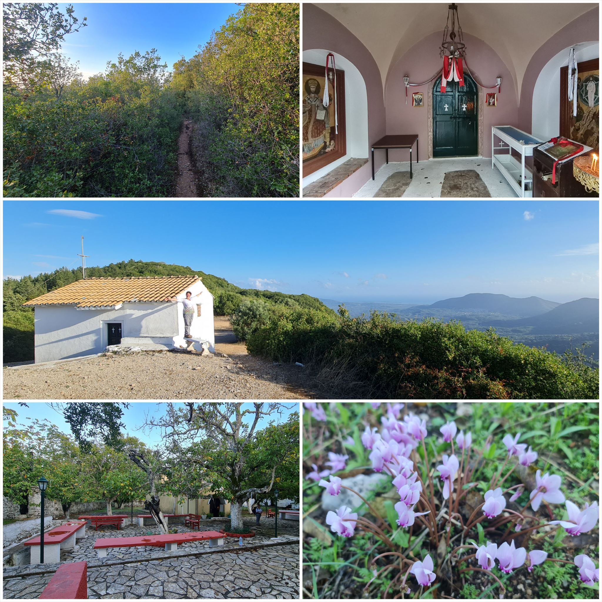
5. εργασία (Μοναστήρι):
N39° 32.902 E019° 52.698
E = σταυρό άθροισμα του σταυροειδούς αθροίσματος του έτους (4 ψηφία) στην τελευταία σειρά στο πέτρινο πάνελ
6. εργασία (Πολιτιστικός Σύλλογος Άγιος Δέκα):
N39° 33.238 E019° 53.223
F = Σταυρό άθροισμα των δύο τελευταίων ψηφίων του έτους ίδρυσης γραμμένο στην πόρτα
7. εργασία (Αγίου Σπυρίδωνα):
N39° 33.334 E019° 52.170
G = Πότε χτίστηκε η ορθόδοξη εκκλησία του Αγίου Σπυρίδωνα;
Τελικές συντεταγμένες:
"N39° 33." A*B*C*D+323 " E19° 52." E*F*G-211

The Corfu Trail is a long distance walking route from Kavos in the south of Corfu to Agios Spiridon in the north.
It was created by Hilary Paipeti in May 2001 and is about 220 km long.
The landscape changes from sandy beaches and dunes in the south to olive groves and mountains in the middle and beautiful beaches in the north.
The stages are between 10 and 18 kilometers long and always starts and ends where you can find a room for the night.
From Dafnata to Kamara (#5)
Accommodation (optional and not needed to find the geocache):
Dafnata: Kosta's Walkers Point
Kamara: Georgia's Small House
1. task (Phone Cell):
N39° 31.987 E019° 54.397
A = Count the golden crowns on the phone cell
2. task (Little chapel):
N39° 32.373 E019° 53.762
B = Count the laterns on the front wall of the little chapel
3. task (Old stone house):
N39° 32.285 E019° 52.927
Where was made the metal lock at the wooden door?
C = Position of the first letter in the alphabet
4. task (Small Church):
N39° 32.882 E019° 52.644
D = Count the crosses at the door
5. task (Monastery):
N39° 32.902 E019° 52.698
E = cross sum of the cross sum of the year (4 digits) in the last row on the stone panel
6. task (Culture society Agios Deka):
N39° 33.238 E019° 53.223
F = Cross sum of the last 2 digits of the founding year written at the door
7. task (St. Spyridon):
N39° 33.334 E019° 52.170
When was build the orthodox church St. Spyridon?
G = Cross sum of the last 2 digits of the building year
Final coordinates:
"N39° 33." A*B*C*D+323 " E19° 52." E*F*G-211
Der Corfu Trail ist ein Fernwanderweg von Kavos im Süden von Korfu nach Agios Spiridon im Norden.
Er wurde im Mai 2001 von Hilary Paipeti angelegt und ist etwa 220 km lang.
Die Landschaft wechselt von Sandstränden und Dünen im Süden zu Olivenhainen und Bergen in der Mitte und wunderschönen Stränden im Norden.
Die Etappen sind zwischen 10 und 18 Kilometer lang und beginnen bzw. enden immer dort wo man ein Zimmer für die Nacht finden kann.
Von Dafnata nach Kamara (#5)
Unterkünfte (optional und nicht notwendig um den Geocache zu finden):
Dafnata: Kosta's Walkers Point
Kamara: Georgia's Small House
1. Aufgabe (Telefonzelle):
N39° 31.987 E019° 54.397
A = Zählt die goldenen Kronen auf der Telefonzelle
2. Aufgabe (Kleine Kapelle):
N39° 32.373 E019° 53.762
B = Zählt die Laternen an der vorderen Mauer der kleinen Kapelle
3. Aufgabe (Altes Steinhaus):
N39° 32.285 E019° 52.927
Wo wurde das Metallschloss an der Holztür hergestellt?
C = Position des 1. Buchstabens im Alphabet
4. Aufgabe (Kleine Kirche):
N39° 32.882 E019° 52.644
D = Zählt die Kreuze an der Tür
5. Aufgabe (Kloster):
N39° 32.902 E019° 52.698
E = Quersumme der Quersumme der Jahreszahl (4 Ziffern) in der letzen Zeile auf der Steintafel
6. Aufgabe (Kulturverein Agios Deka):
N39° 33.238 E019° 53.223
F = Quersumme der letzten beiden Ziffern des Gründungsjahres das an der Tür geschrieben steht
7. Aufgabe (St. Spyridon):
N39° 33.334 E019° 52.170
Wann wurde die orthodoxe Kirche St. Spyridon erbaut?
G = Quersumme der letzten beiden Ziffern des Baujahres
Final Koordinaten:
"N39° 33." A*B*C*D+323 " E19° 52." E*F*G-211
Πανό για το προφίλ σας: Banner for your profile: Banner für Dein Profil:
<a href="http://coord.info/GCA0BQY><img src="https://img.geocaching.com:443/6d07e706-69b2-4493-bcf0-fd91e152d915.png" width="300" height="169" /></a>