|
|
 |
FTF: Trinity2712 |
STF: matsut |
TTF: Azulka |
| |
 Άλλα δημοσιευμένα στάδια του "Corfu Trail"
  Other published stages of the "Corfu Trail"
  Weitere veröffentlichte Etappen des „Corfu Trail“
Το Corfu Trail είναι μια μεγάλη απόσταση με τα πόδια από τον Κάβο στα νότια της Κέρκυρας μέχρι τον Άγιο Σπυρίδωνα στα βόρεια.
Δημιουργήθηκε από τον Hilary Paipeti τον Μάιο του 2001 και έχει μήκος περίπου 220 χιλιόμετρα.
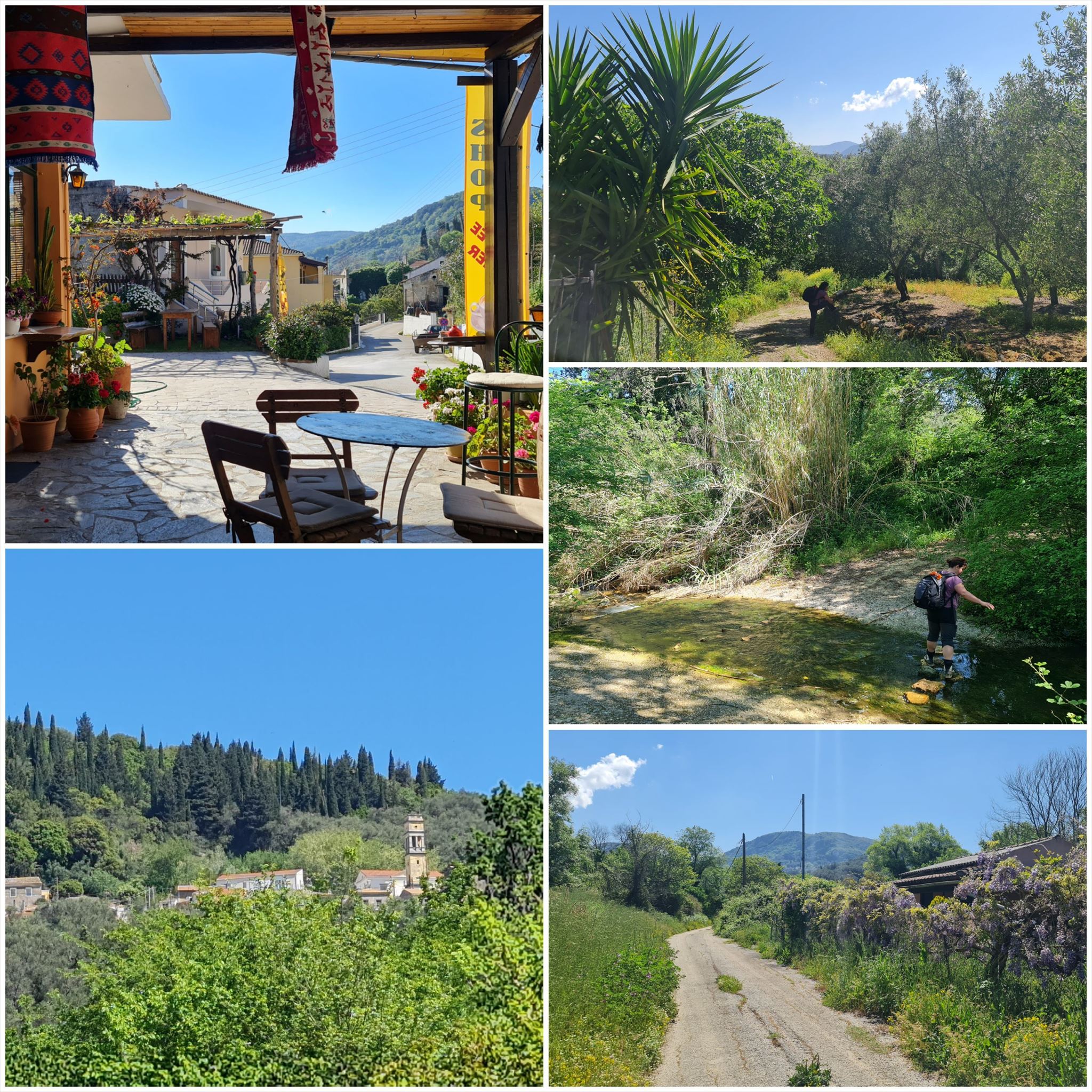
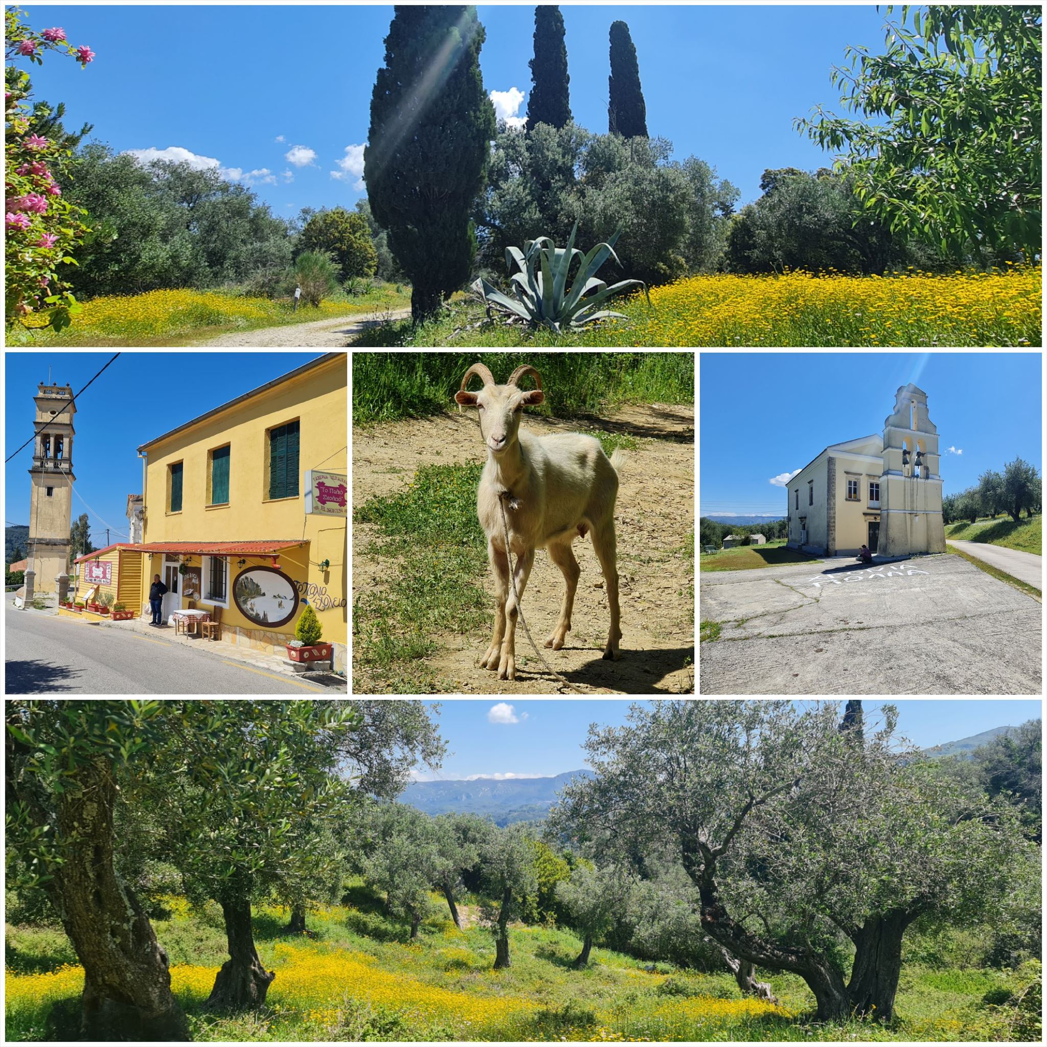
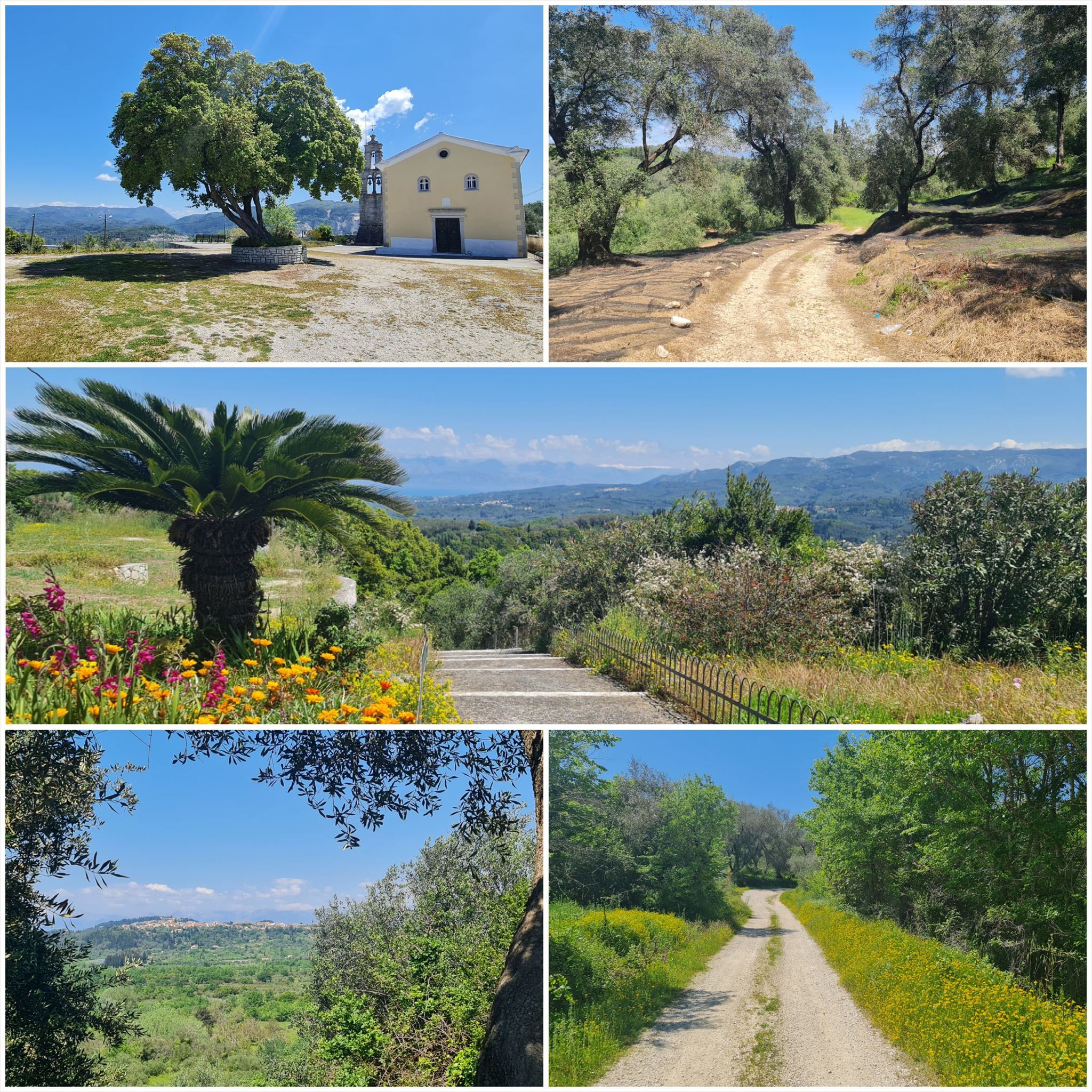
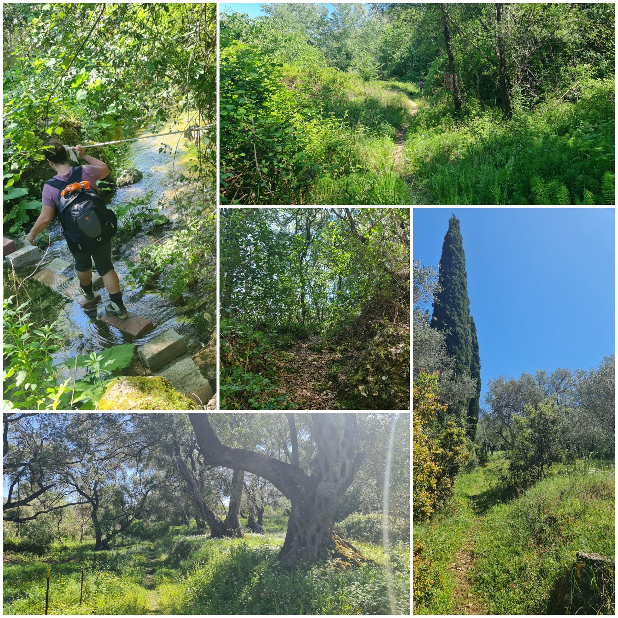
Το τοπίο αλλάζει από αμμώδεις παραλίες και αμμόλοφους στο νότο σε ελαιώνες και βουνά στη μέση και όμορφες παραλίες στα βόρεια.
Τα στάδια έχουν μήκος μεταξύ 10 και 18 χιλιομέτρων και πάντα ξεκινούν ή τελειώνουν εκεί όπου μπορείτε να βρείτε ένα δωμάτιο για τη νύχτα.
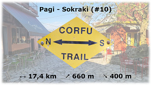
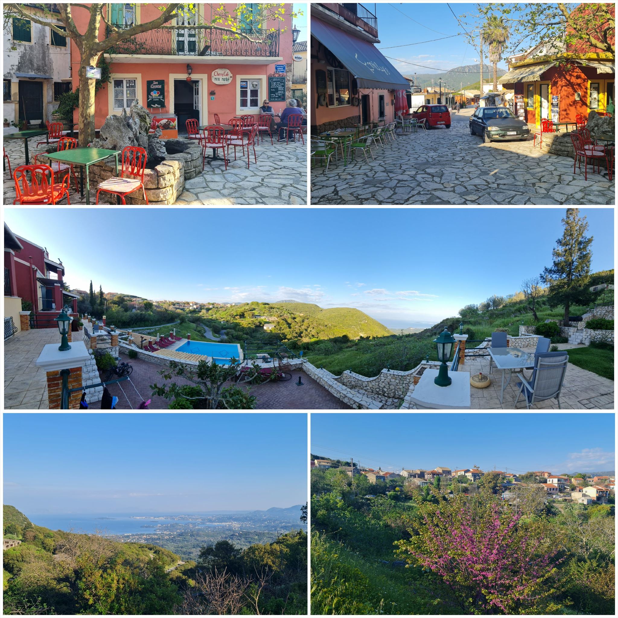
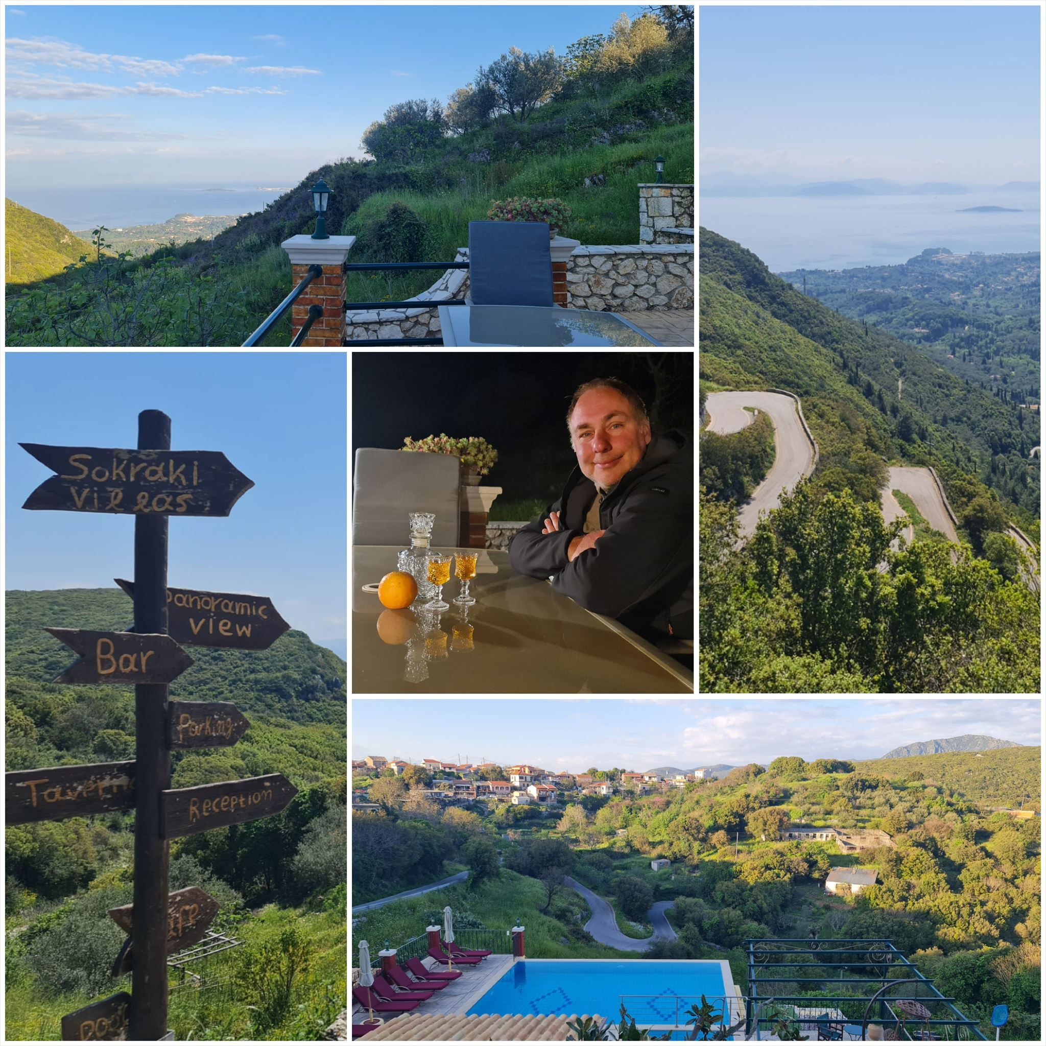
Από Παγή στο Σωκράκι (#10)
Διαμονή (προαιρετικό και δεν απαιτείται για την εύρεση του geocache):
Πάγοι: Villa Niki
Σωκράκι: Corfu Sokraki Villas
1. εργασία (Λουλούδι):
N39° 42.538 E19° 42.109
Στη μέση της καμάρας της πόρτας υπάρχει ένα λουλούδι χαραγμένο στην πέτρα
A = Μετρήστε τα φύλλα (πέταλα) του λουλουδιού
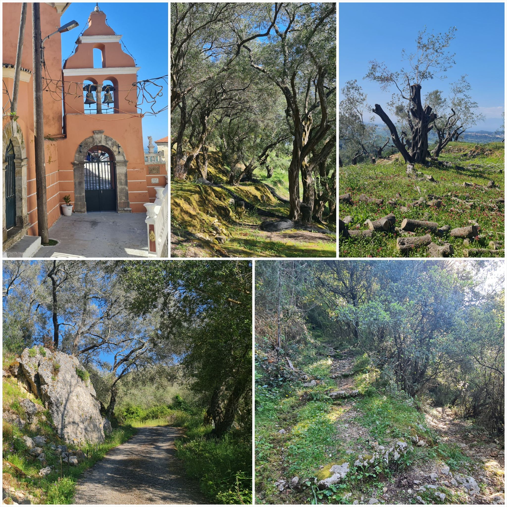
2. εργασία (Εκκλησία):
N39° 43.396 E19° 43.243
Οι πέτρες που σχηματίζουν τις άκρες του μπροστινού τοίχου είναι αριθμημένες :-)
B = Πόσες πέτρες χρησιμοποιούνται για μια γωνία του μπροστινού τοίχου; Ίδια ποσότητα, αριστερή και δεξιά γωνία
3. εργασία (Εκκλησία):
N39° 44.029 E19° 45.321
Υπάρχει ένα χρυσό ανάγλυφο στη δεξιά πλευρά του καμπαναριού δίπλα στην είσοδο
C = Θέση στο αλφάβητο, το πρώτο γράμμα της λέξης 4. γραμμένο στο κάτω περίγραμμα
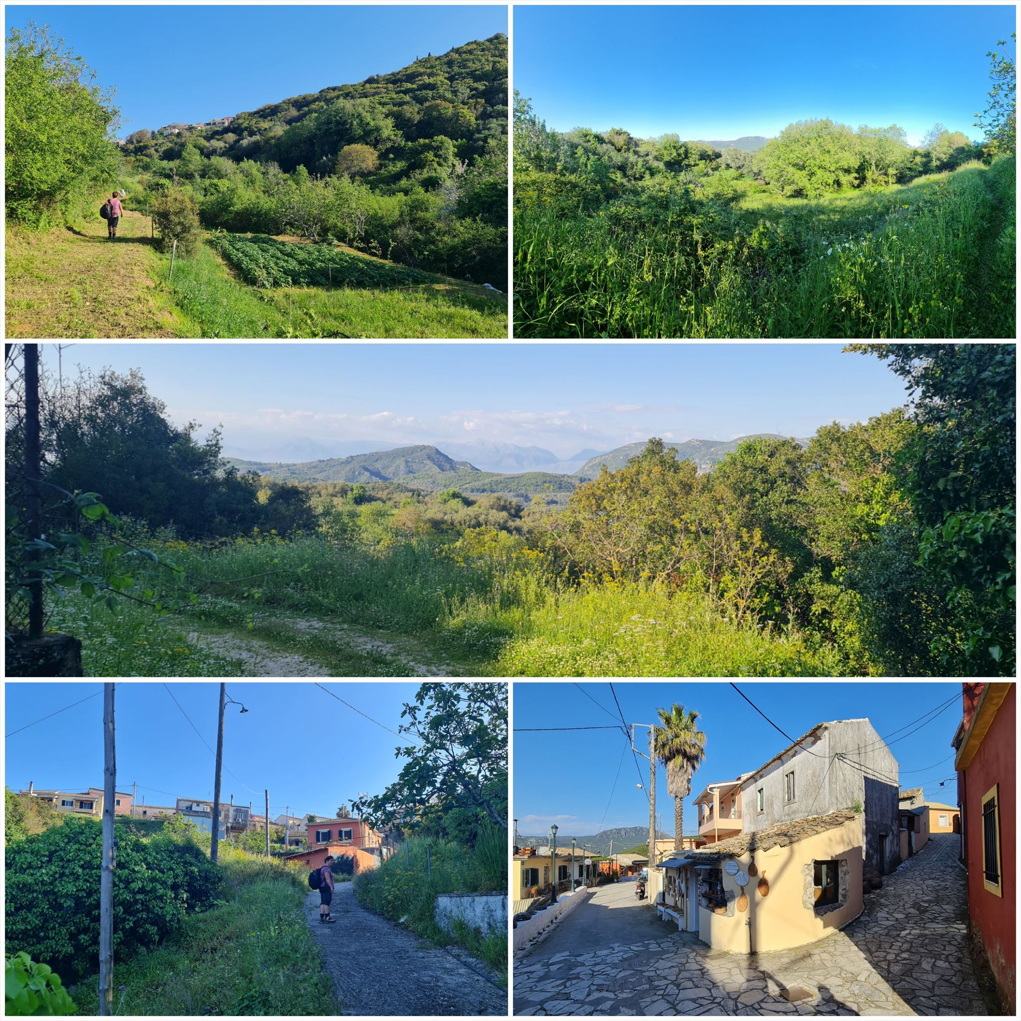
4. εργασία (δρόμο ή κανένα δρόμο):
N39° 43.537 E19° 46.866
δρόμο ή κανένα δρόμο, αυτό είναι το ερώτημα εδώ :-)
Ένα στενό τσιμεντένιο μονοπάτι οδηγεί προς τα δεξιά (D = 1)
Κάτω προς τα δεξιά (D = 3)
Μέχρι τα αριστερά (D = 5)
Κάτω προς τα αριστερά (D = 7)
Εδώ δεν υπάρχει διακλάδωση διαδρομής (D = 9)
Τελικές συντεταγμένες:
"N39° 42." A*B+588 " E19° 47." C*D+560

The Corfu Trail is a long distance walking route from Kavos in the south of Corfu to Agios Spiridon in the north.
It was created by Hilary Paipeti in May 2001 and is about 220 km long.
The landscape changes from sandy beaches and dunes in the south to olive groves and mountains in the middle and beautiful beaches in the north.
The stages are between 10 and 18 kilometers long and always starts and ends where you can find a room for the night.
From Pagi to Sokraki (#10)
Accommodation (optional and not needed to find the geocache):
Pagi: Villa Niki
Sokraki: Corfu Sokraki Villas
1. task (Flower):
N39° 42.538 E19° 42.109
In the middle of the archway of the door there is a flower engraved in the stone
A = Count the leaves (petals) of the flower
2. task (Church):
N39° 43.396 E19° 43.243
The stones forming the edges of the front wall are numbered :-)
B = How many stones are used for one corner of the front wall? Same amount, left and right corner
3. task (Church):
N39° 44.029 E19° 45.321
There is a golden relief at the right side of the bell tower beside the entrance
C = Position in the alphabet, first letter of the 4. word written at the lower border
4. task (Way or no way):
N39° 43.537 E19° 46.866
Way or no way, that's the question here :-)
A narrow concrete path leads up to the right (D = 1)
Down to the right (D = 3)
Up to the left (D = 5)
Down to the left (D = 7)
Here's no path branching off (D = 9)
Final coordinates:
"N39° 42." A*B+588 " E19° 47." C*D+560
Der Corfu Trail ist ein Fernwanderweg von Kavos im Süden von Korfu nach Agios Spiridon im Norden.
Er wurde im Mai 2001 von Hilary Paipeti angelegt und ist etwa 220 km lang.
Die Landschaft wechselt von Sandstränden und Dünen im Süden zu Olivenhainen und Bergen in der Mitte und wunderschönen Stränden im Norden.
Die Etappen sind zwischen 10 und 18 Kilometer lang und beginnen bzw. enden immer dort wo man ein Zimmer für die Nacht finden kann.
Von Pagi nach Sokraki (#10)
Unterkünfte (optional und nicht notwendig um den Geocache zu finden):
Pagi: Villa Niki
Sokraki: Corfu Sokraki Villas
1. Station (Blume):
N39° 42.538 E19° 42.109
In der Mitte des Torbogens über dem Eingang ist eine Blume im Stein eingraviert
A = Zähle die Blütenblätter
2. Station (Kirche):
N39° 43.396 E19° 43.243
Die Steine an den Ecken der Frontfassade sind nummeriert :-)
B = Wie viele Steine wurden für eine Ecke der Frontfassade verwendet? Gleiche Anzahl, linke und rechte Ecke
3. Station (Kirche):
N39° 44.029 E19° 45.321
An der rechten Seite des Glockenturmes neben dem Eingang befindet sich ein goldenes Relief
C = Position im Alphabet, 1. Buchstabe des 4. Wortes am unteren Rand
4. Station (Weg oder kein Weg):
N39° 43.537 E19° 46.866
Weg oder kein Weg, das ist hier die Frage :-)
Ein schmaler betonierter Pfad führt rechts nach oben (D = 1)
Rechts nach unten (D = 3)
Links nach oben (D = 5)
Links nach unten (D = 7)
Hier zweigt überhaupt kein Weg ab (D = 9)(
Final Koordinaten:
"N39° 42." A*B+588 " E19° 47." C*D+560
Πανό για το προφίλ σας: Banner for your profile: Banner für Dein Profil:
<a href="http://coord.info/GCA838G><img src="https://img.geocaching.com/a9712c3b-099f-4200-ae01-5cf5f1e4263f.png" width="300" height="169" /></a>