|
|
 |
FTF: Enhöh + Lana+ |
STF: Zieverer |
TTF: Dani+Iris |
| |
 Άλλα δημοσιευμένα στάδια του "Corfu Trail"
  Other published stages of the "Corfu Trail"
  Weitere veröffentlichte Etappen des „Corfu Trail“
Το Corfu Trail είναι μια μεγάλη απόσταση με τα πόδια από τον Κάβο στα νότια της Κέρκυρας μέχρι τον Άγιο Σπυρίδωνα στα βόρεια.
Δημιουργήθηκε από τον Hilary Paipeti τον Μάιο του 2001 και έχει μήκος περίπου 220 χιλιόμετρα.
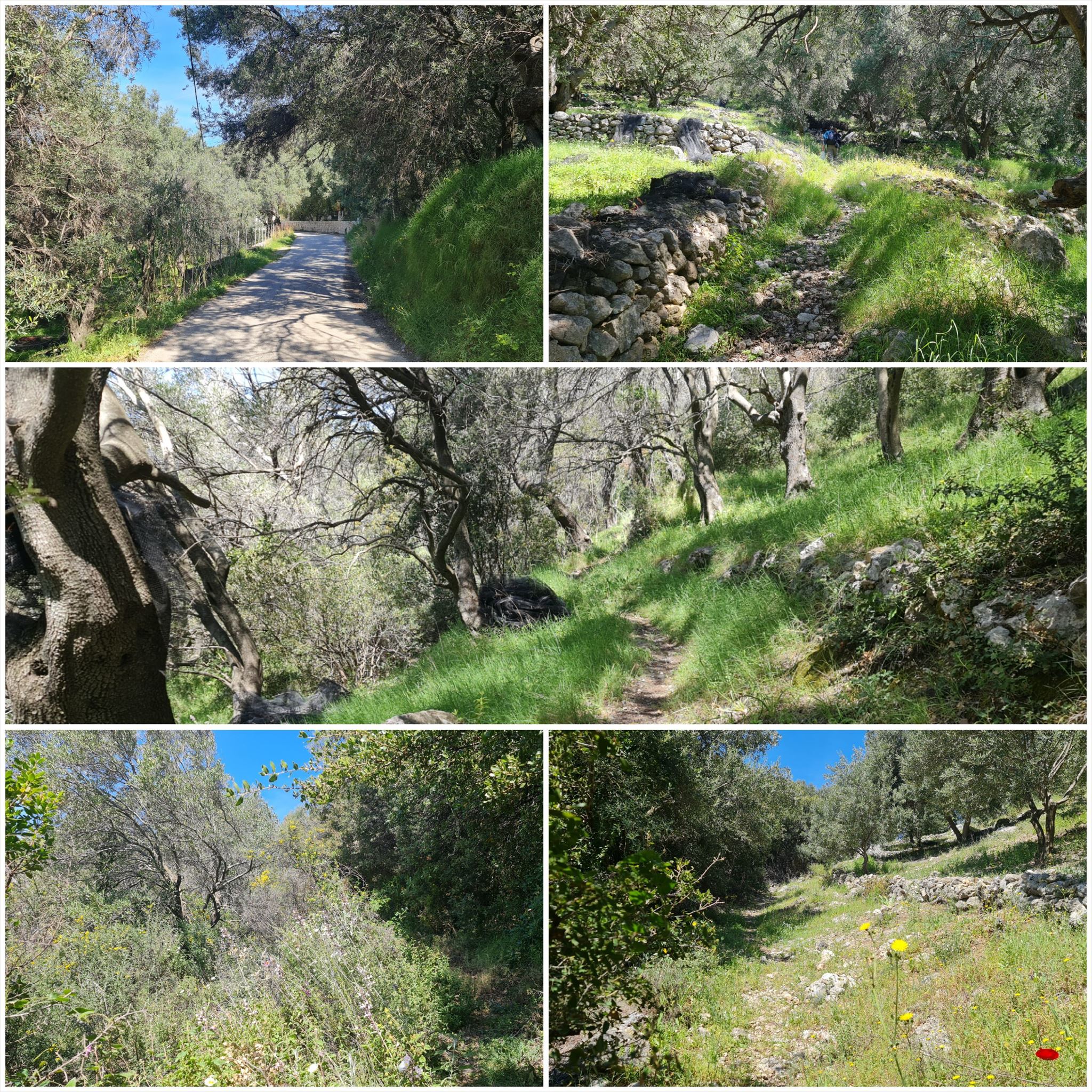
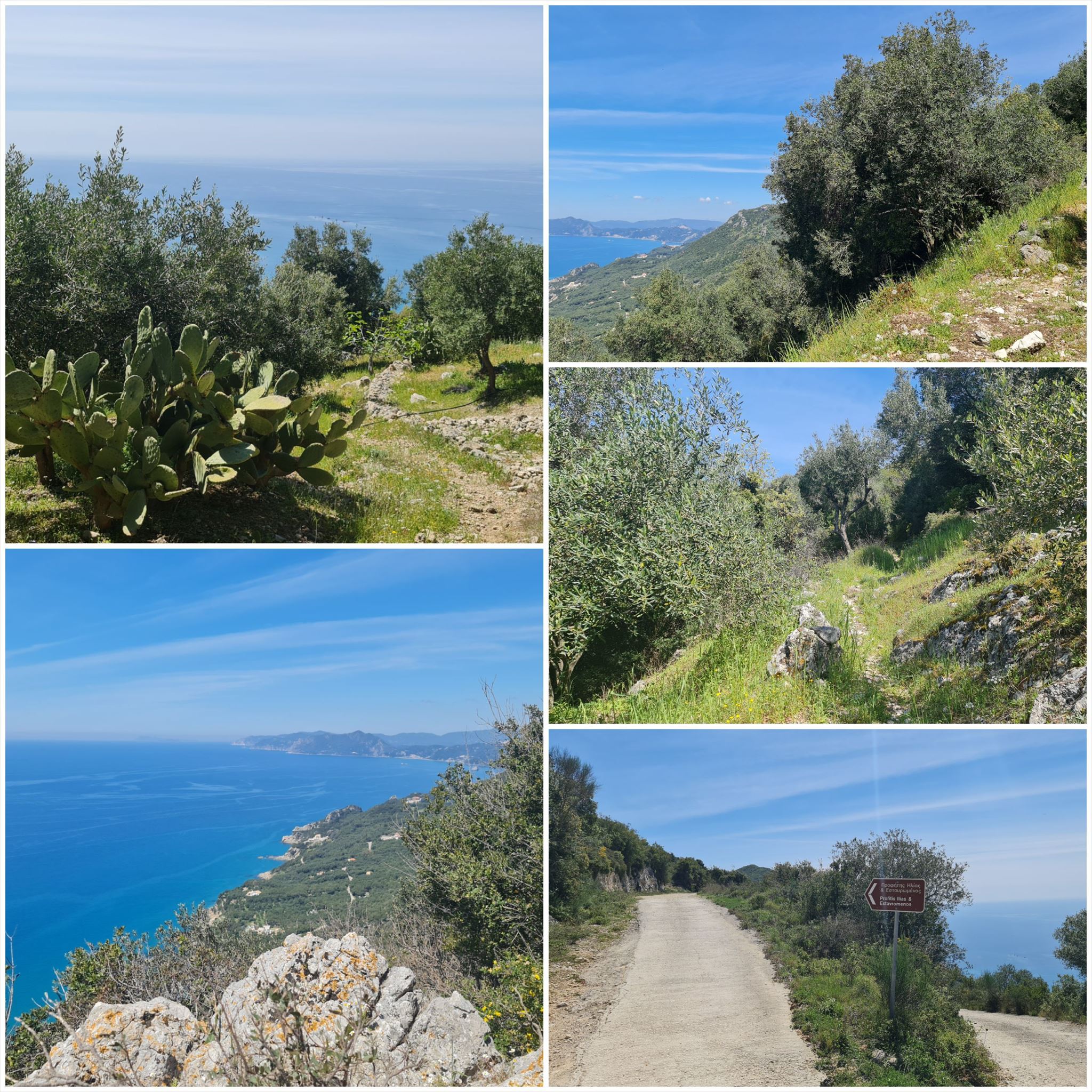
Το τοπίο αλλάζει από αμμώδεις παραλίες και αμμόλοφους στο νότο σε ελαιώνες και βουνά στη μέση και όμορφες παραλίες στα βόρεια.
Τα στάδια έχουν μήκος μεταξύ 10 και 18 χιλιομέτρων και πάντα ξεκινούν ή τελειώνουν εκεί όπου μπορείτε να βρείτε ένα δωμάτιο για τη νύχτα.
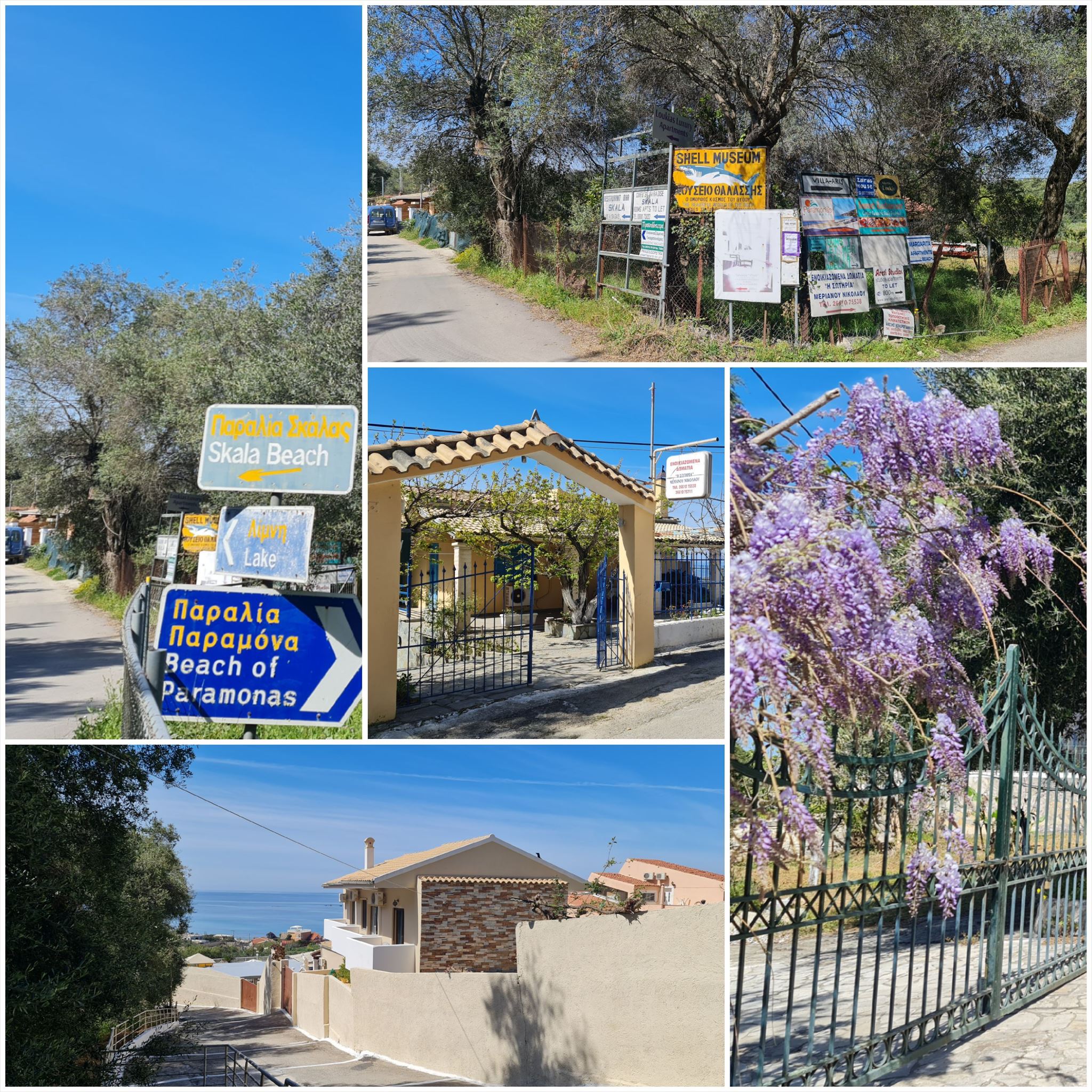
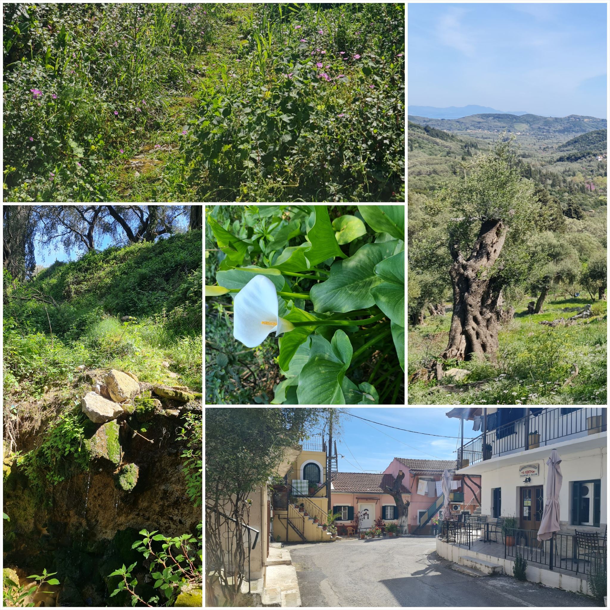
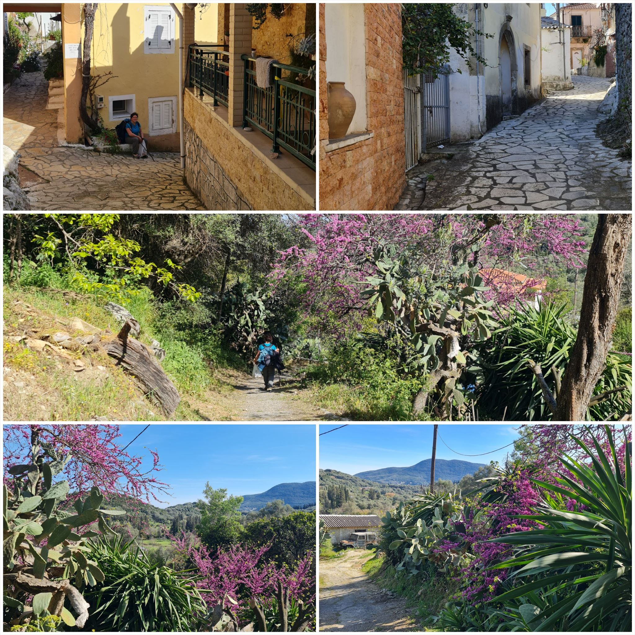
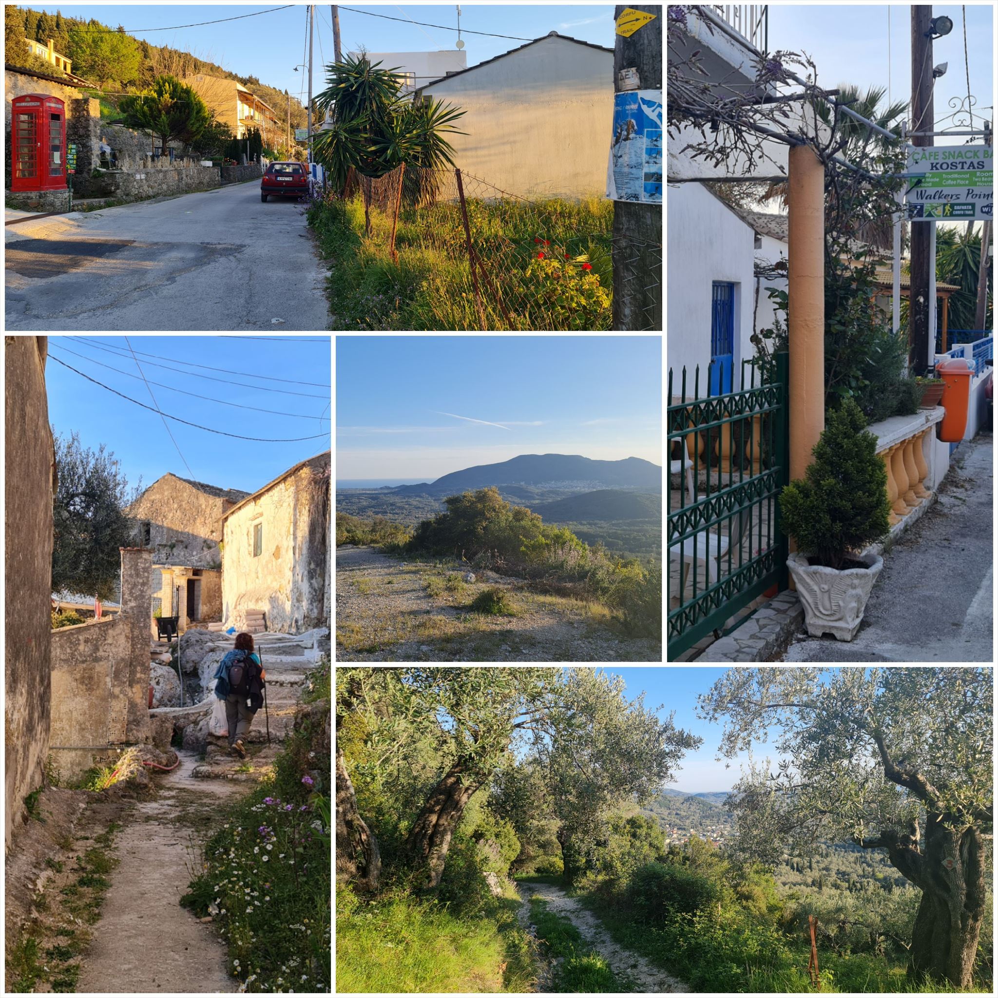
Από τον Παραμόνα στα Δαφνάτα (#4)
Διαμονή (προαιρετικό και δεν απαιτείται για την εύρεση του geocache):
Παραμόν: Margaritis's Treehouse
Δάφνη: Kosta's Walkers Point
1. εργασία (Έναρξη):
N39° 30,058 E19° 51,485
Τι βλέπετε εδώ; Ανεμόμυλος - Α=1, Εκκλησία - Α=4, Δεντρόσπιτο - Α=6, Ταβέρνα - Α=8
2. εργασία (Όμορφη θέα):
N39° 30.833 E19° 51.365
Υπάρχει ένα κουτί κρυμμένο καλυμμένο από πέτρες. B = Μετρήστε τις τρύπες της πέτρας μέσα στο κουτί.
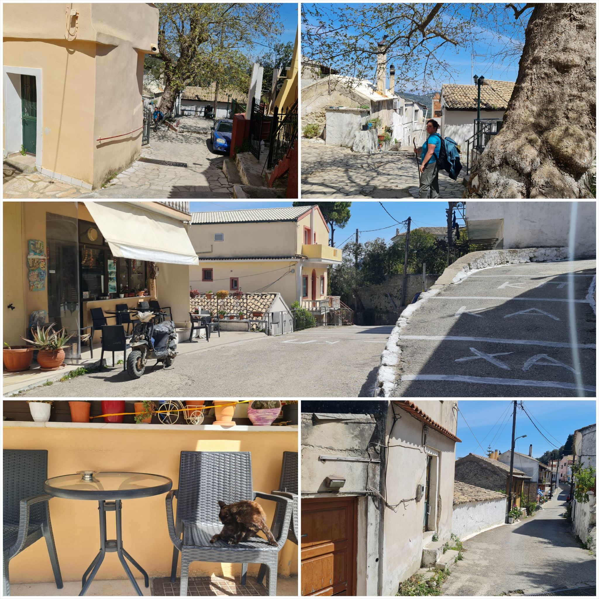
3. εργασία (παλιό σπίτι):
N39° 30.963 E19° 52.724
C = Τελευταίο ψηφίο του έτους χαραγμένο στην πέτρα πάνω από την πόρτα (xxxC)
4. εργασία (τοίχος με "λουλούδια"):
N39° 30.508 E19° 54.535
Στην αριστερή πλευρά του δρόμου υπάρχει ένας τοίχος με τρύπες που μοιάζουν με λουλούδια. D = Μετρήστε τα "λουλούδια" από την αρχή του τοίχου μέχρι την πόρτα της εισόδου (ΟΧΙ ολόκληρος ο τοίχος μέχρι το σταυροδρόμι)
Τελικές συντεταγμένες:
"N39° 31." A*B+934 "E19° 54." C*D+373

The Corfu Trail is a long distance walking route from Kavos in the south of Corfu to Agios Spiridon in the north.
It was created by Hilary Paipeti in May 2001 and is about 220 km long.
The landscape changes from sandy beaches and dunes in the south to olive groves and mountains in the middle and beautiful beaches in the north.
The stages are between 10 and 18 kilometers long and always starts and ends where you can find a room for the night.
From Paramonas to Dafnata (#4)
Accommodation (optional and not needed to find the geocache):
Paramonas: Margaritis's Treehouse
Dafnata: Kosta's Walkers Point
1. task (Start):
N39° 30.058 E19° 51.485
What do you see here? Windmill - A=1, Church - A=4, Treehouse - A=6, Taverna - A=8
2. task (Beautiful view):
N39° 30.833 E19° 51.365
There is a box hidden covered by stones. B = Count the holes of the stone inside the box.
3. task (Old house):
N39° 30.963 E19° 52.724
C = Last digit of the year graved into the stone over the door (xxxC)
4. task (Wall with "flowers"):
N39° 30.508 E19° 54.535
On the left side of the road there is a wall with holes that look like flowers. D = Count the "flowers" from the beginning of the wall up to the entrance door (NOT the whole wall up to the crossroads)
Final coordinates:
"N39° 31." A*B+934 " E19° 54." C*D+373
Der Corfu Trail ist ein Fernwanderweg von Kavos im Süden von Korfu nach Agios Spiridon im Norden.
Er wurde im Mai 2001 von Hilary Paipeti angelegt und ist etwa 220 km lang.
Die Landschaft wechselt von Sandstränden und Dünen im Süden zu Olivenhainen und Bergen in der Mitte und wunderschönen Stränden im Norden.
Die Etappen sind zwischen 10 und 18 Kilometer lang und beginnen bzw. enden immer dort wo man ein Zimmer für die Nacht finden kann.
Von Paramonas nach Dafnata (#4)
Unterkünfte (optional und nicht notwendig um den Geocache zu finden):
Paramonas: Margaritis's Treehouse
Dafnata: Kosta's Walkers Point
1. Aufgabe (Start):
N39° 30.058 E19° 51.485
Was sehen Sie hier? Windmühle - A=1, Kirche - A=4, Baumhaus - A=6, Taverne - A=8
2. Aufgabe (Schöne Aussicht):
N39° 30.833 E19° 51.365
Es ist eine Dose versteckt, die mit Steinen bedeckt ist. B = Zähle die Löcher des Steins in der Kiste.
3. Aufgabe (Altes Haus):
N39° 30.963 E19° 52.724
C = Letzte Ziffer des Jahres in den Stein über der Tür eingraviert (xxxC)
4. Aufgabe (Wand mit "Blumen"):
N39° 30.508 E19° 54.535
Auf der linken Straßenseite befindet sich eine Wand mit Löchern, die wie Blumen aussehen. D = Zähle die "Blumen" vom Anfang der Mauer bis zur Eingangstür (NICHT die ganze Mauer bis zur Kreuzung)
Endgültige Koordinaten:
"N39° 31." A*B+934 "E19° 54." C*D+373
Πανό για το προφίλ σας: Banner for your profile: Banner für Dein Profil:
<a href="http://coord.info/GC9REYX><img src="https://img.geocaching.com:443/02312f4e-1543-4e65-a569-18d72ac82ffe.png" width="300" height="169" /></a>