The Shropshire Union canal and Railway company was formed by the amalgamation of several canal companies after the Birmingham and Liverpool junction canal was completed. It consisted of the Chester canal, Ellesmere canal (now LLangollen), and the Birmingham and Liverpool junction canal.
The B&L jcn canal was one of the last canals to be built and reflects this in its engineering. This is shown by the relatively straight line from the Staffs and Worcs canal at Autherley Junction, to the Chester canal at Nantwich.
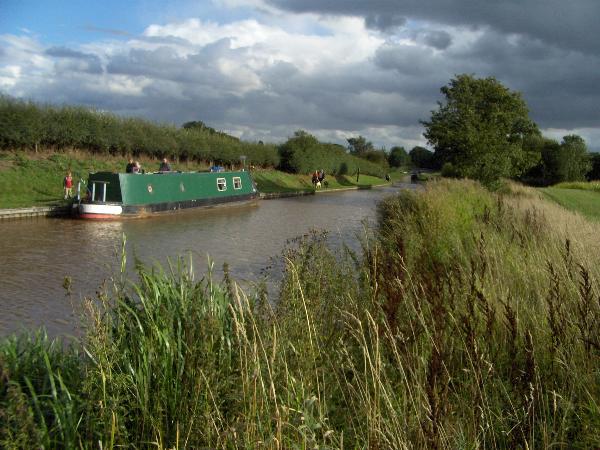
The deep cuttings and large embankments and the lock flights grouped together, sped up traffic between the Black Country and the Mersey at Ellsemere port.
The canal was engineered by Thomas Telford, who didn't live to see it completed. It opened throughout in 1835, almost 45 years after the original parrallel Trent and Mersey canal, via Stoke, which is just 10 miles away to the east. All boats were originally horse drawn and each boat could carry 25 tons of cargo. All the bridges and locks were designed to make the hauling of the boats easier. The flight of 15 locks at Audlem drop the canal 93ft down onto the Cheshire plain.
From the cache site between locks 2 and 3 near the top of the flight you can see across to the Bikerton and Peckforton hills (home to Kelsborrow Wayfinders' Sandstone series) and on a clear day the Clwyd mountains are visible including Moel Famau.