Engerfjellet

Holsjøen som
Eidsvoll.
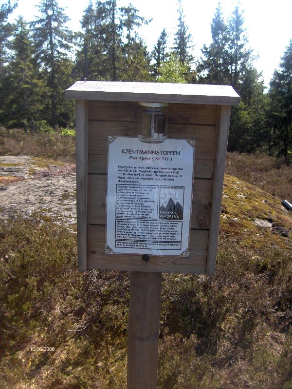
This is Nord-Odals second highest
peak. Its 567 meters over sealevel. There was a lookout tower once
but there is not much left off that anymore. What you can find is a
sign of the Finnskogen turist forening who has listed this peak as
a kjentmannstop. Theres a stamp available at the top wich you can
use.
We couldnt find a
destinct path to this top but on our way we did find parts of a
blue marked route that did not seem to be completely intact
anymore. So prepare for bushing your way.
Let us know if you find a path up
there.
Our entrance was at
løntjernbråten, an old school that was original a farmhouse later
used as a school for childeren that lived in the environment of the
mine. Now it is owned by Eidsvoll Allmenning and used by the county
for recreational purposes for childeren.
If you start your way up at N 60
25,7500 E 11 21,6170 there will be a lot of
explenational boards about anything in the nature.
To Access to the above
startingpoint follow road 181 from Eidsvoll and go left at the sign
gullverket.
(tollroad 30 kr) if you are
visiting this cache you could visit in the same time
TH #1 Gullverket
Initial Cache
contents.
Shoppingcar coin
Necklace (for boys)
mobile phone holder sock
mobile phone neckstring.
logbook and pencil
TB elky
FTF certificate.