(Français) Cette promenade n'est pas difficile pour les
enfants de tout âge, mais malheureusement ce n'est pas pratique
avec une poussette. Il vous faut environ deux heures pour faire le
tour, ou une heure si vous arrêtez après avoir cherché la
cache.
Le point de départ est à N48º29.685 E007º23.005. On peut se
garer là s'il n'y pas trop de monde, ou autrement à N48º29.488
E007º22.992 (où se trouve aussi un panneau informatif sur le
chemin).
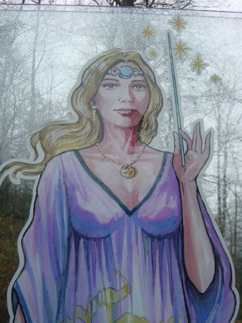
Au long du chemin, les "demoiselles" sont gravées dans les
pierres à côté. Comptez-les; quand vous arrivez au waypoint donné
(où se trouve un "menhir" ou pierre verticale; voir photo), vous en
aurez vu N (voir aussi le commentaire sur l'une des photos).
La cache se trouve ((8*N)-2) mètres plus loin, dans la
direction (79*N) degrés.
Après avoir trouvé la cache, vous pouvez faire demi-tour, ou
alors continuer jusqu'au point de vue panoramique (N48º30.438
E007º22.768), puis retourner via N48º30.242 E007º22.734, là où
commence la descente du chemin circulaire.
Les demoiselles qui nous intéressent sont clairement visibles,
et espacées d'au moins 50 mètres. Si vous en trouvez deux dans un
rayon inférieur, ne pas tenir compte de la deuxième, qui se trouve
certainement sur le chemin du retour.
(English) This walking tour, ideal for children but not
strollers, takes just under two hours to complete, or you can get
to the cache and back in about an hour. Along the way, signs (in
French only) describe the ancient Druid settlement which once
existed here.
The start point is at N48º29.685 E007º23.005. You can park there
if it's not too busy; otherwise park at N48º29.488 E007º22.992,
near the first information sign.
Along the way you will see a number of "demoiselles" (literally
"young ladies", but I think that "wood nymphs" is probably the
right translation), carved into the rocks at the side of the path,
pointing the way. As you follow the path, count the number of these
which you pass (N) - check the comments on the photos as
well.
When you get to the cache waypoint, at which there is a menhir
(standing stone - see photo), the cache is ((8*N)-2) metres
away in the direction (79*N) degrees.
After finding the cache, you can turn round and go back, or
continue to the panoramic view at N48º30.438 E007º22.768, then
return to N48º30.242 E007º22.734 to start the descent part of the
circuit.
The "demoiselles" are clearly visible on the path; you don't
have to hunt behind rocks for them. They are all at least 50 metres
apart. If you find two closer together than this, don't count the
second one, which will be on the return path.