Go to N 42 degrees 41.681 minutes, W 84 degrees 22.831 minutes. You will easily find a Park Sign and Map. The sign includes a bulleted list of things that are PROHIBITED. Count the letters in the bullet that says something about killing animals. Spaces and commas do not count. The number is A.
Now go to N 42 degrees 41.653 minutes, W 84 degrees 23.190 minutes and appreciate the gentle flow of Sloan Creek. Count the number of triangles on the bridge. This is NOT a trick question. Mathematicians who find weird ways of counting triangles will be frustrated. The number is B.
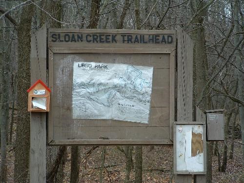
Three parks in one! Meridian Riverfront Park is Legg Park, Eastgate Park and Harris Nature Center. In 1979, the first 70 acres of Meridian Riverfront Park were acquired in Legg Park. Eastgate Park and the Harris Nature Center were purchased in 1986 with help from the Land and Water Conservation Fund. In 1994, an additional 33 acres were acquired in Legg Park completing the 204 acres you see today. The Harris Nature Center building opened in July of 1997 and welcomes over 20,000 visitors each year. Meridian Riverfront Park has something for everyone including access to the Red Cedar River, over 6 miles of trails lined with abundant spring wildflowers, an accessible paved trail, incredible birding opportunities, a Nature Exploration Area and so much more.
The Blue Trail was formerly named the Songbird Trail, thus the name of the cache.
OK, now for the math. The latitude is N42 degrees and 0.93 times A minus 5.804 minutes. The longitude is W 84 degrees and 0.500 times B plus .933 minutes.