To reach this cache, start from the parking area for the Carter
Falls Trailhead, just down the road from the the Cougar Rock
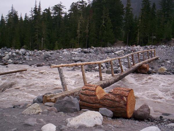
Campground and Picnic area. From there, you will have to brave the
bridge over the glacial-fed, silt-laden Nisqually River. This
bridge may change over time, but most recently was a simple log
foot bridge.
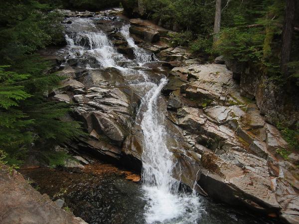
The hike up to the falls is 1.1 miles each way, through very
nice forest (although the trail is accompanied by a pipeline for a
short segment). While the first part of the trail is reasonably
level, you'll be in for a bit of a climb for the last half. We
think the falls are worth it, though.
To receive credit for this cache, look around for the Carter
Falls sign when you get there. Take note of the elevation on the
sign, and send us an e-mail with that number. Do not include the
answer in your log. We encourage you to post pictures of your
visit, just please leave the sign out of them. Any logs that
include the information required for logging this cache will be
deleted.
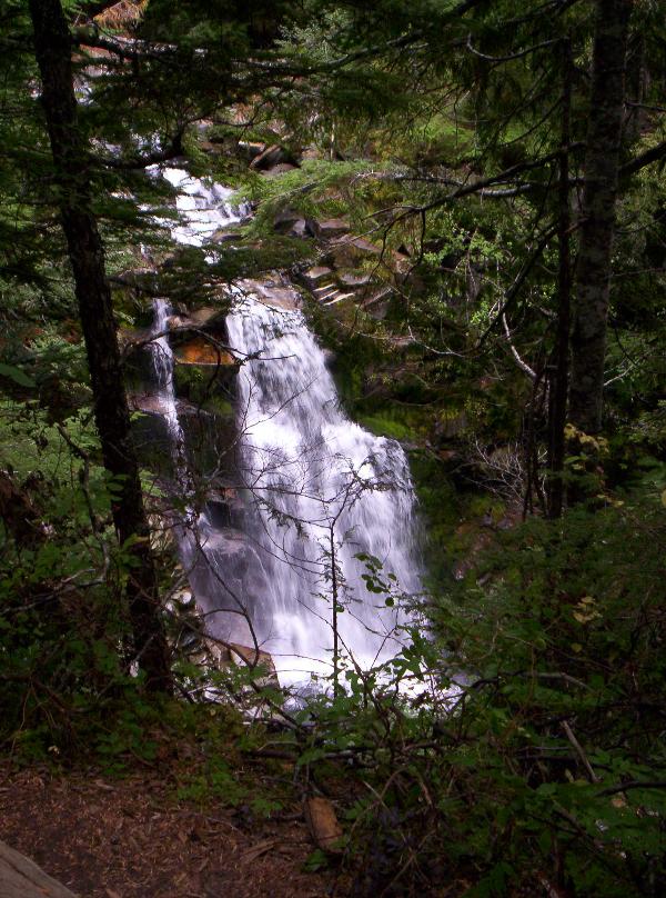
If you have the time, be sure to hike just a little further up
the trail to Madcap Falls (thanks to Chod for the picture!).
Enjoy your visit!