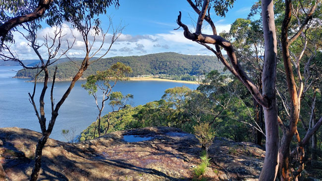
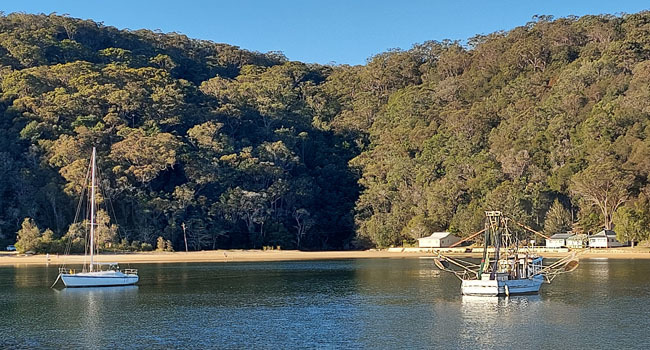
The Dark Corner track links the eastern end of Patonga Beach to the Pearl Beach to Patonga fire trail, with access to the latter from Crystal Avenue in Pearl Beach and Warrah Trig Road. The section between Patonga Beach and Warrah Trig also forms part of the Great North Walk. Parking waypoints are provided for Patonga Beach and Warrah Trig Road with the cache roughly equidistant from both, and although the access from Patonga Beach is steeper (and may require wading depending on the tide and recent rainfall), it's the more scenic approach.
The cache, a 55mm diameter mega bison tube, is hidden deep within honeycombing at the back of a small rock overhang, with level access across open ground from the track. No climbing is needed. A flashlight might be handy to spot it. From here are filtered views down over Patonga Beach, but be careful of the four metre drop-off and stay well back from the edge.
The cache is located within Brisbane Water National Park and is placed with permission. Note that the only contents allowed are the logbook, a pencil and the laminated information card, so NO SWAG OR TRACKABLES please.
Kindly replace the cache with the lid facing outwards to make retrieval by the next finder easier.
Brisbane Water National Park, created in 1959, extends along the northern side of the Hawkesbury River from Mooney Mooney to Umina, encompassing 12,000 hectares of mainly open forest and woodland. Hawkesbury sandstone is a Triassic sedimentary quartzose rock laid down from Antarctic sands some 200 million years ago and uplifted to form a plateau, with deep valleys then eroded by running water. At the end of the last ice age, rising seawater flooded some of these valleys, forming saltwater estuaries along the Hawkesbury River and tributaries. Wind and salt crystalisation has also attacked weaknesses in the rock, forming alcoves and honeycombing on exposed faces throughout the park.
The Great North Walk between Sydney and Newcastle traverses the full north-south extent of the park from Patonga to Somersby. It was established as part of the 1988 bicentenary and is maintained by NSW Crown Lands.
Other important information about the National Park is here:
The origin of the name Dark Corner is uncertain, with some speculation that it may have been from the lack of electricity supply to the row of houses along the base of the headland, however the view from the water suggests it may be simply because that end of the beach really is a dark corner.
Congratulations to FTF crash2079!