PR6 GDL - Lousal GeoMegalítico
No Lousal é possível viajar no tempo (até aproximadamente 5000 anos atrás) através da observação de monumentos fúnebres do Calcolítico. A peneplanície alentejana e a Faixa piritosa Ibérica serviram de base para o desenvolvimento destas comunidades condicionando a localização dos monumentos. Venha conhecer estes monumentos através de um agradável passeio de 12 km pelo montado alentejano.
Este é um percurso pedestre em que o objetivo principal centra-se no enquadramento arqueológico do Lousal, a riqueza dos georrecursos da região e o seu aproveitamento pelas comunidades pré-históricas, em pleno montado alentejano.
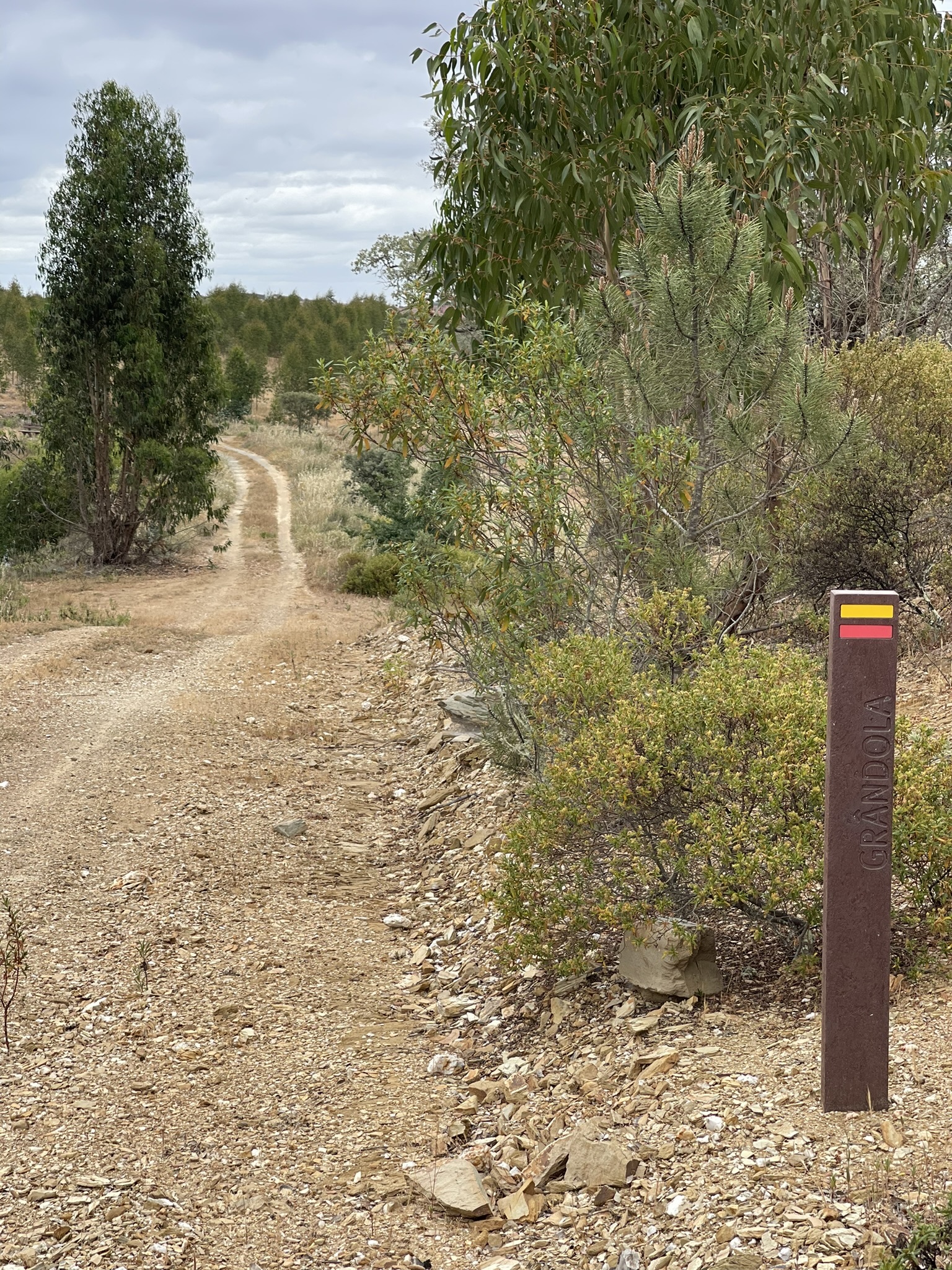
Concelho: Grândola
Localização: Lousal
Tipo: pedestre
Percurso Circular: sim
Distância: 12,4 km
Duração média: 3 h03m
Subida acumulada: 258 metros D+
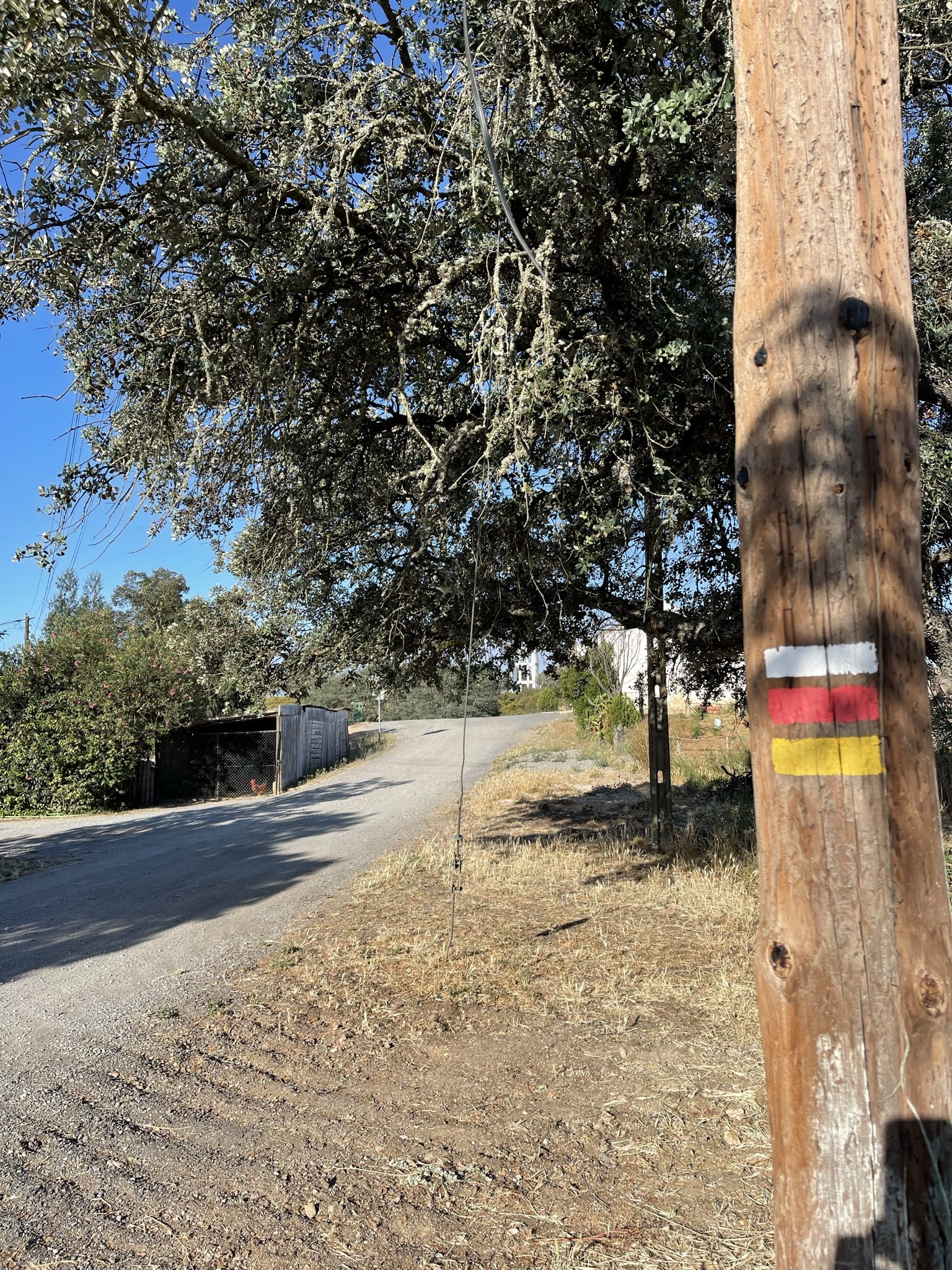
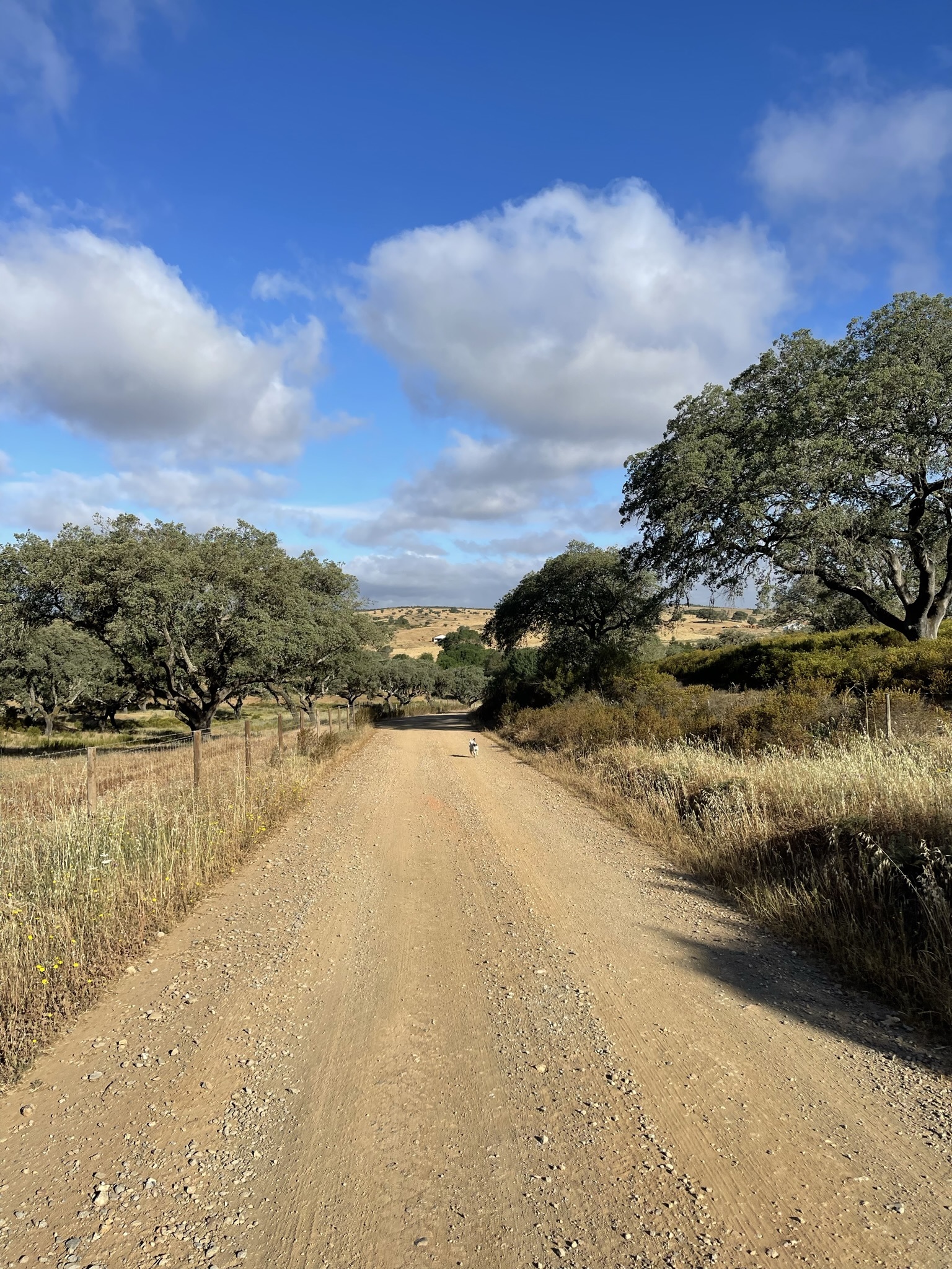
Tipo de caminho: caminhos de terra e estrada
Descarregar GPX
In Lousal it is possible to travel back in time (up to approximately 5000 years ago) by observing funerary monuments from the Chalcolithic. The Alentejo peneplain and the Iberian Pyrite Belt served as a basis for the development of these communities, conditioning the location of the monuments. Discover these monuments on a pleasant 12 km walk through the Alentejo forest.
This is a pedestrian trail in which the main objective is centered on the archaeological context of Lousal, the richness of the region's georesources and their use by prehistoric communities, in the heart of the Alentejo Montado.
Municipality: Grândola
Location: Lousal
Type: walking
Circular trail: yes
Distance: 12,4 km
Average duration: 3h30m
Cumulative elevation gain: 258 metres D+
Type of path: dirt paths and road
GPX Track donwload