

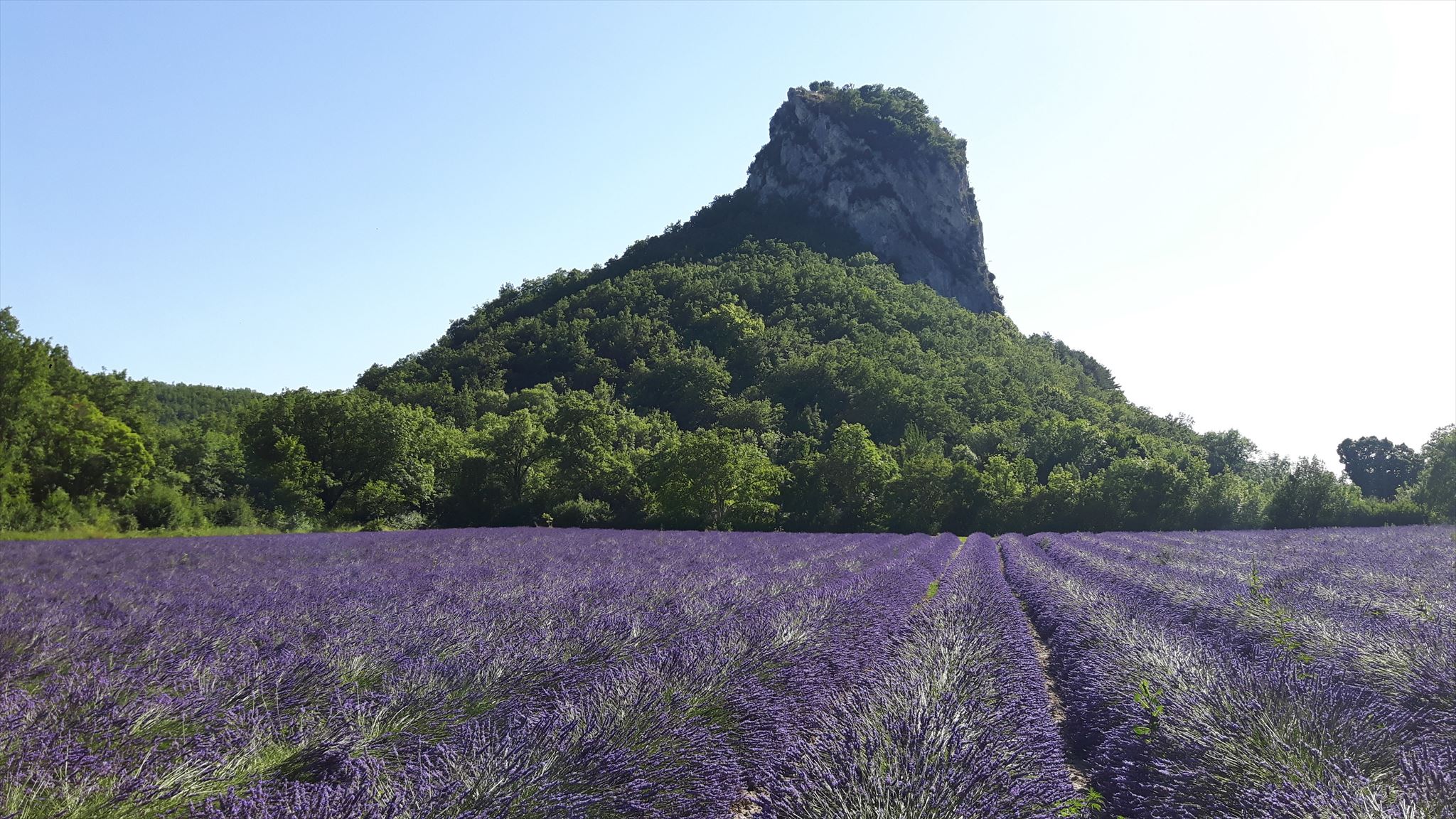
Rocher emblème de Saoû, haut de 501m d'altitude qui constitue l'extrémité Sud-Ouest du synclinal perché et la porte d'entrée de la vallée de la Vèbre.
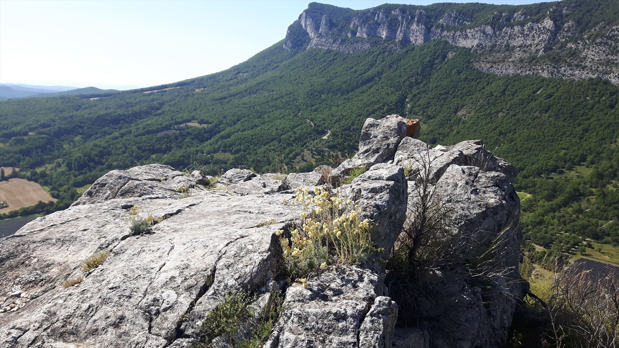
Au Moyen-Age une place forte était bâti sur ce sommet. Aujourd'hui il ne reste plus aucun vestige de ces constructions mais un superbe panorama vous y attend!
PRECONISATIONS:
L'ascension se réalise assez rapidement, moins de 30min, cependant ce ne sera pas de tout repos!
il y a 2 passages plus "physiques" :
- Entre le WP1 et WP2 où la montée est assez importante avec un passage sur un pierrier si vous passez par le WP1bis.
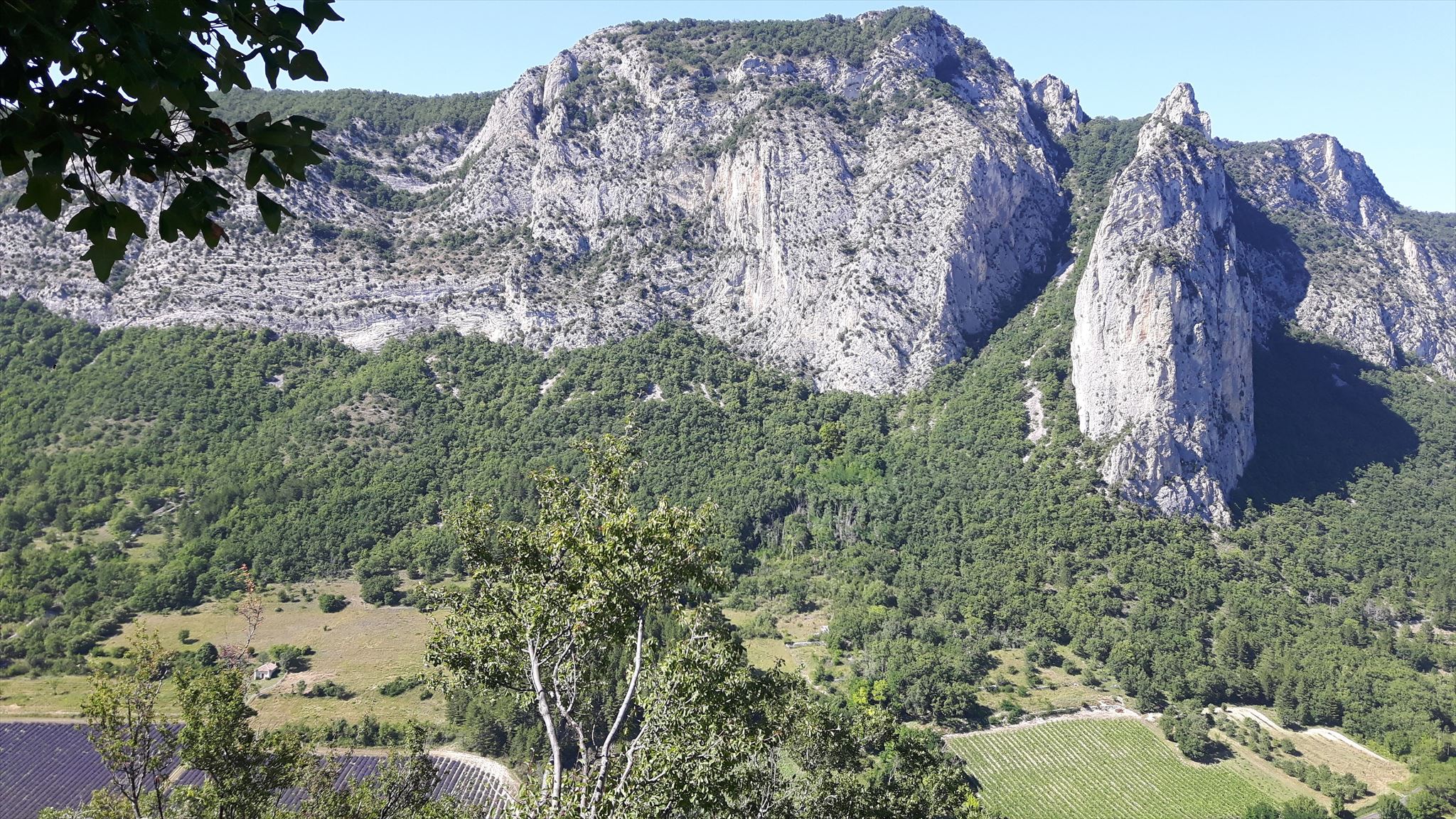
- Au WP3 pour la partie "escalade" de la roche : cette partie se réalise sans aucune difficulté et sans materiel ( cordes ou autre) pour des personnes habituées à grimper ou escalader.
Attention le plus compliqué n'est pas l'aller mais bien le retour!!!
Ces 2 passages "physiques" deviennent véritablement compliqués au retour car il y a des risques de glissade. C'est la raison pour laquelle cette cache est fortement déconseillée aux enfants.
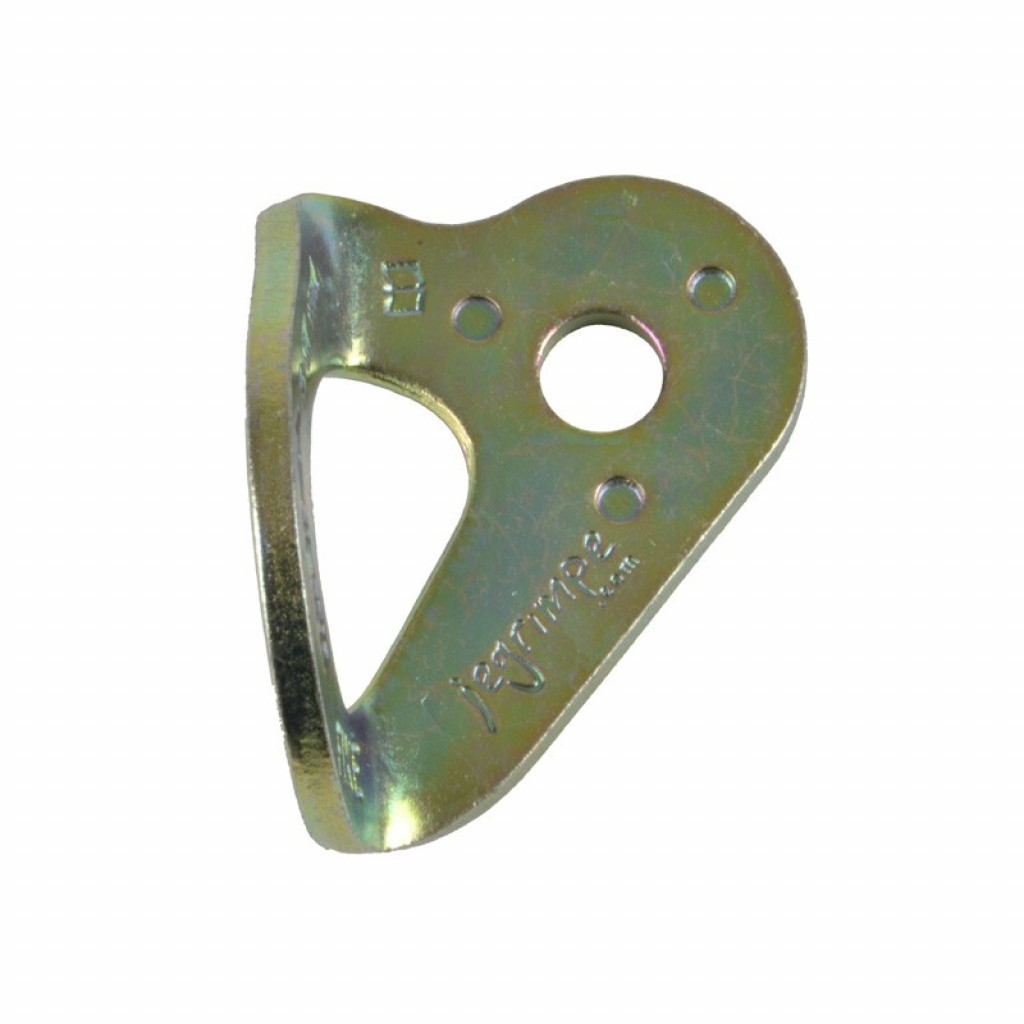
Pour plus de sécurité, il est possible d'attacher une corde ( minimum 30m ) au niveau de la partie "escalade" vous trouverez plusieurs plaquette coeur (photo ci dessous).
Il y a 4 ou 5 points d'attaches disséminés jusqu'à l'arche. Mais il faudra quand même un grimpeur pour récupérer la corde...
Les waypoints et photos sont là pour vous aider, ne prenez aucun risque si vous ne vous sentez pas capable d'aller jusqu'au bout!
Concernant la cache, il n'y a besoin d'aucun accessoire si ce n'est de la patience ...

Rock emblem of Saoû, 501m high, which constitutes the southwest end of the perched syncline and the gateway to the Vèbre valley.
In the Middle Ages a stronghold was built there on this summit, today there is no longer any vestige of these constructions but a superb panorama awaits you at the top!
PRECONNISATIONS:
The ascent is achieved fairly quickly, less than 30min, however it will not be easy!
there are 2 more "physical" passages:
Attention the most complicated is not the outward journey but the return !!!
These 2 "physical" passages become really complicated on the way back because there is a risk of slipping.This is the reason why this cache is discouraged for children.
For more safety, it is possible to attach a rope (minimum 30m) at the level of the "climbing" part you will find several heart plates (photo below).
There are 4 or 5 attachment points scattered all the way to the arch. But it will still take a climber to retrieve the rope ...
The waypoints and photos are there to help you, don't take any risks if you don't feel able to go all the way!
Regarding the cache, there is no need for any accessories except patience ...