
This is one of 12 caches placed for CAM 2020. You are required to find the nine physical caches and have your choice for number 10. It will be between 2 virtuals and a wherigo.
If you find all twelve, you will receive a special icon to download and put on your geocaching profile. Each location was picked specifically to give cachers a taste of the state and show you its beauty. By combining all of the caches, you'll be able to see why Maryland is truly "America in Miniature". We hope you enjoy them!
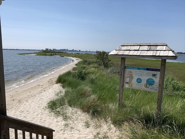
CAM 2020 - Lone Cedar Point
Voted Maryland Geocaching Society's CAM 2020 Favorite Hide
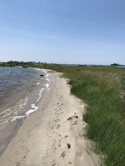
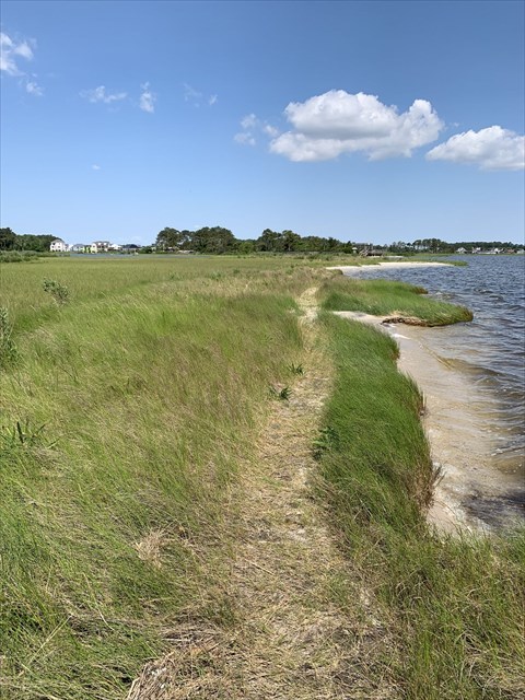
The cache is located on the shores of the Assawoman Bay in Worcester County, MD. Captain James Bishop, a local merchant, occupied much of this land in the mid 1800's. This land was particularly important to him since it contained a landing which provided access to the coastal bays and surrounding waters for commerce and fishing. The landing is known as Lone Cedar Point. This bay front beach is fondly called "The Point" by locals It has a beautiful view of the Ocean City, MD skyline. The cache is in Maryland, however, the bay front beach and trail access to the cache is located in The Bayside Community, a residential community near Fenwick Island, DE.
Please respect the community and the posted speed limits. The cache is only available during daylight hours. Access is by a state road, not a private road. Parking is public because of the seasonal waterfront restaurant. management is aware of cache placement. Though a rare occurrence, it is possible that a storm surge, or unusually high tide may require boots/wading. It is also possible to boat, kayak or jet ski to this cache from Ocean City.
In 1751, a line was surveyed straight across the Delmarva Peninsula, called the Transpeninsular Line (at approximately 38*27'N), the eastern half of which forms the North-South border between Delaware and Maryland. A historical sign as well as remnants of the original stone can be seen near the trailhead coordinates.
UPDATE November 2020 : The Ammo Can has been replaced with a micro. The location has been bushwacked and cleared out since placing in January. It has also been muggled twice . Because this is such a unique location , I am going to try to keep this going so that others may enjoy the beautiful spot.
The cache is now a bison and is at the end of the beach, just keep walking the beach as if you are going around the cape. It is ziptied in a live bush. The cache is only available from dawn til dusk. In the summer, it is pretty accessible but the weeds can be tall. In the winter you can walk right up to it . Enjoy your walk