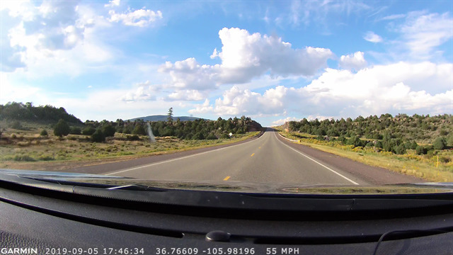
Very cool spot along Highway 285. Park on either side, well outside the white line. Low traffic, but stay safe anyway! You can find all the answers while still in your car.
When driving towards GZ from south, it almost looks like you're driving into a huge opening in a large wall. This earthcache will focus on what you see inside this wall.
Taos Plateau Volcanic Field
This area is part of the Taos Plateau Volcanic Field. The Taos Plateau volcanic field is an area of extensive volcanism in Taos County. It is the largest volcanic field in the Rio Grande Rift, spreading over 7,000 km2. The age of most of the vents and associated lava flows in the field is estimated to be between 1.8 and 4 million years, with a few 22-million-year-old vents.
The composition of the lavas varies from tholeiitic basalt to rhyolite. Landforms include sheet flows, cinder cones, and shield volcanoes. The sheet flows are well-exposed in the Rio Grande Gorge carved by the Rio Grande. The highest point of the field is San Antonio Mountain (a little further north from GZ) at 10,908 feet (3,325 m).
Lava flows
There has been no recent lava flows in this area, but you will see evidence of ancient lava flows right where you're standing. The black rock in front of you is basalt, an igneous rock left behind after the lava flowed through here. More than 90% of the earth's volcanic rock, is basalt.
The road cut here expose two different lava flows. The lower one is resting on baked ash. Soil development due to a long period of erosion has caused significant unconformity between the lower flow and the flow on top. The upper lava flow is about 2.4 million years old, while the lower is about 3.8 million years old. This means that nearly 1.5 million years separate the two flows!
Source: Wikipedia, nmnaturalhistory.org and own observations
Questions
To log this cache you must submit answers to the questions below. You can send the answers by using the contact feature on my profile page. You do not have to wait for a response before logging, just go ahead and log your find once you've submitted the email.
I will only reply if your answers are not accepted.
You have to send the mail no later than one hour after logging. If you do not have the ability to send email immediately, please wait with the logging. The answers must be given in English.
- How many layers do you see here, and what colors are they?
- Was the latest lava flow larger or smaller than the first? How much larger/smaller was it?
- Estimate the percentage of basalt in this road cut
You are also required to upload a picture of you at the site with your log (if you don't want to be in the picture yourself, include your GPSr, a piece of paper with your geocaching name on it or any other personal item you may see fit - you don't have to be in the photo, but it have to be your photo). Do not send me the picture, attach it to your log. Do not upload pictures showing the road cut!
| I have earned GSA's highest level: |
 |