El terraplén del Dique Frontal
En el año 1952 durante el gobierno de Juan Domingo Perón se asigna a tres personas para realizar tareas de extracción de muestras del suelo en la zona donde se encuentra el dique , en lo que abarca el terraplen, y casi todo el terreno que hoy en día abarca el espejo de agua (33.000 hectáreas), estas muestras eran procesadas y enviadas a la pcia. de Bs As para su correspondiente análisis, estas personas se afincaron en la vieja Río Hondo actualmente sumergida en el fondo del lago. El 20 de noviembre de 1957, se llama a la licitación internacional para la construcción del dique, 5 km aguas arriba del puente del río Dulce, que cruza Las Termas de Río Hondo, un mes después se conocen las propuestas; la empresa Panedile Argentina SACIF resulta adjudicataria. Finalmente comienzan las obras el 2 de abril de 1958, cuando se coloca su piedra basal. En 1965 se termina el terraplén, de 4.119 m, conectado con el muro de hormigón armado. Finalmente tras 15 años, en septiembre de 1967 inaugura y habilita el embalse el Presidente de facto Tte. Gral. Juan Carlos Onganía.
The Frontal Dyke Embankment
In 1952, during the Juan Domingo Perón government, three people were assigned to carry out soil sampling tasks in the area where the dam is located, as far as the embankment is concerned, and almost all the land that today covers the water mirror (33,000 hectares), these samples were processed and sent to the province. of Bs As for their corresponding analysis, these people are in the photo Hondo River currently submerged in the bottom of the lake. On November 20, 1957, the international tender for the construction of the dam, 5 kilometers upstream of the Dulce River Bridge, which crosses Las Termas de Río Hondo, is called, a month later the proposals are known; the company Panedile Argentina SACIF is awarded. Finally works begin on April 2, 1958, when his basal stone was placed. In 1965, the embankment, of 4,119 m, connected with the reinforced concrete wall, is completed. Finally after 15 years, in September of 1967 inaugurates and enables the reservoir the de facto President Tte. General Juan Carlos Onganía.
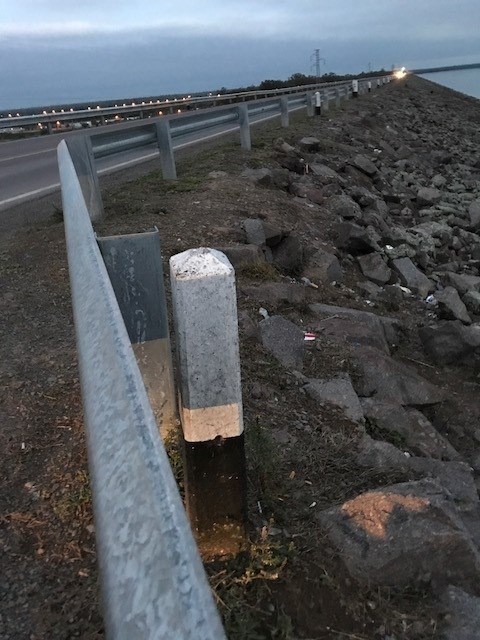
El Cache

Vista desde Cache

Consejos finales
En Argentina el Geochacing todavía no es tan popular como en otros países, y es común que los geomuggles roben los cachés por simple diversión. Por lo tanto, por favor busque y recoja el caché cuando nadie esté mirando, luego deje el caché tal y como lo haya encontrado y bien oculto, asegúrese que no quede visible desde ningún ángulo! siempre intente pasar desapercibido. ...y asegúrese de llevar un bolígrafo para firmar el registro!

Únete a la comunidad argentina de geocaching:
http://www.geocaching.com.ar
http://geocachingargentina.blogspot.com/
http://geocachingargentina.foroargentina.net/