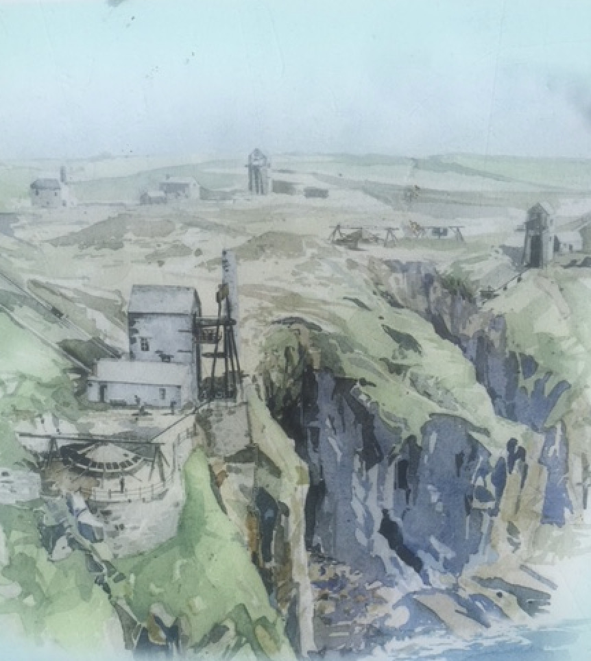
Wheal Trewavas
The mine ran between 1834 and 1846 and was a moderately successful mine employing around 160 men and bringing up around 17,500 tons of copper ore valued at over £100,000 in those days. The mine was eventually flooded and abandoned.
From the parking waypoint, walk through the gate and down the path toward the very impressive Wheal prosper engine house.
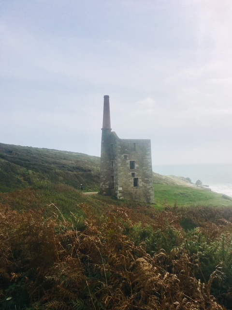
WHEAL PROSPER ENGINE HOUSE
Despite its name Wheal Prosper was not a hugely successful mine, working for only six years between 1860-1866. It was intended to mine tin and copper from the Porthcew Lode.
The amount of tin it produced was so little, it was never recorded.
The engine house was used in the filming of Poldark in the 1970's
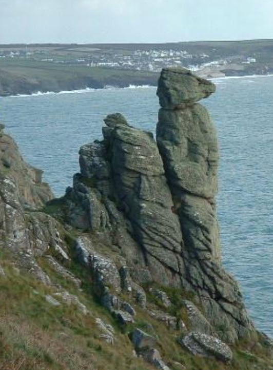
After passing the engine house, if you take the right hand path, this is a scenic but slightly longer route to Wheal Trewavas, and passes the rock formation known as "The Camel's Head" at N50 05.374 W005 21.571.
If you take the left hand path, it is a shorter, but rougher route with a few stiles to cross.
Either path will take you to Wheal Trewavas.
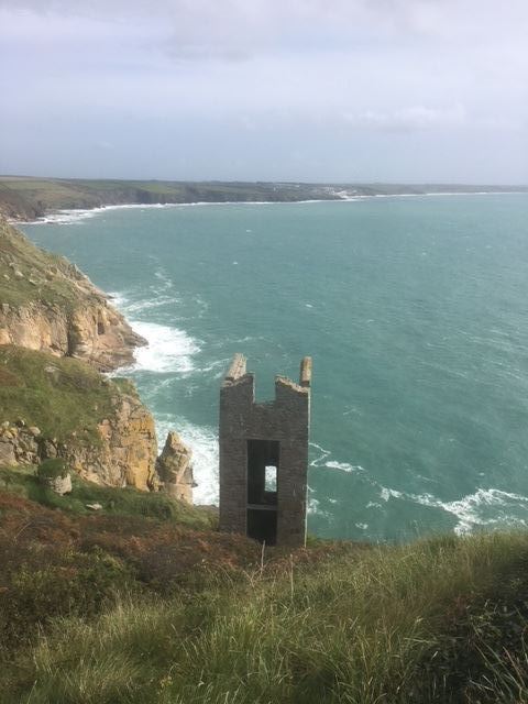
WHEAL TREWAVAS ENGINE HOUSE
LOGGING YOUR FIND
At Waypoint 1, what is the date on the sign on the corner of the building above head height?
At Waypoint 2, inside the engine house, how many pieces of oak make up the lintel above the window on the Easterly side?.
Take a photograph of you with either of the engine houses in the background - your face in the photo would be nice, but isn't necessary.
To claim the cache, e-mail the answers to me at the address on my profile - feel free to log before you get a response, but logs with incorrect answers or no photos are liable to be deleted.
Obviously, the cliff path can be slippery and uneven, and there are steep drops - You can see just as much from the path, so don't go near the edge. A couple of the stiles are also steep, so take your time and be aware of your abilities - the views are stunning, and well worth the effort.
You can obviously make the walk as long as you like, as the mines are situated on the South West Coastal path
Virtual Reward - 2017/2018
This Virtual Cache is part of a limited release of Virtuals created between August 24, 2017 and August 24, 2018. Only 4,000 cache owners were given the opportunity to hide a Virtual Cache. Learn more about Virtual Rewards on the Geocaching Blog.
**Well done to Redruth Roamers for braving the atrocious weather today for FTF**