VS #372a - Barton Traditional Geocache
-
Difficulty:
-

-
Terrain:
-
Size:  (micro)
Please note Use of geocaching.com services is subject to the terms and conditions
in our disclaimer.
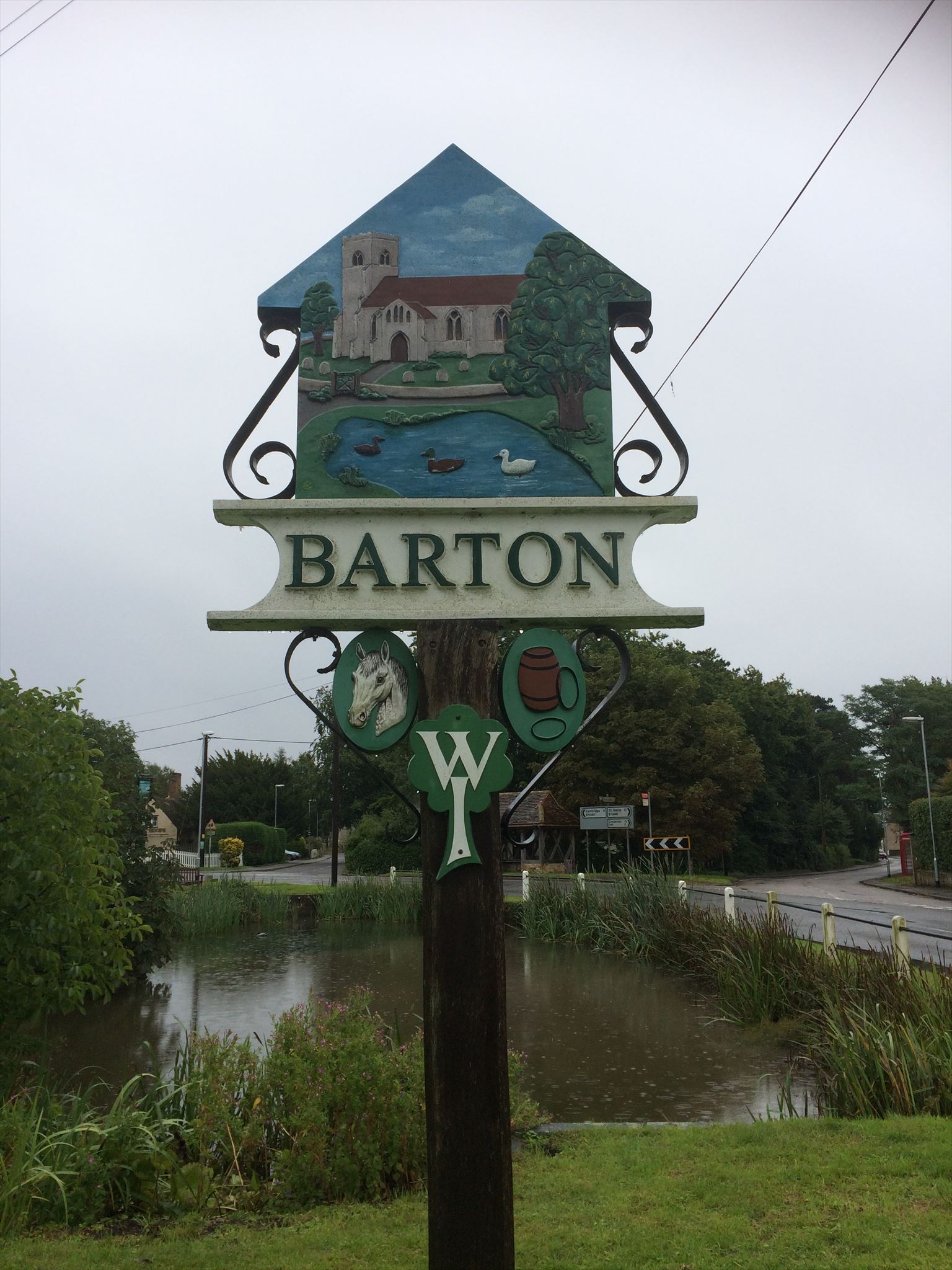
Village signs is a series of caches based on the ornate signs that depict the heritage, history and culture of the villages that put them up (normally on the village green!).
A 30ml tube.
This cache replaces this one which got archived.
Barton is a village and civil parish in the South Cambridgeshire district of Cambridgeshire, England. It is about 4 miles (6.4 km) south-west of Cambridge, near junction 12 of the M11 motorway.
The Roman road Akeman Street may have passed through the village. Barton, Old English Bartone, is mentioned in the Domesday Book. At that time, 1086, Robert, Count of Mortain, Humphrey from Guy de Raimbeaucourt, and William of Keynes were listed as Barton land-owners.
Between the High Street and A603 Wimpole Road lies the village's recreation ground, with a full size football pitch, tennis courts, half pipe, children's play area, pavilion, bowls club, car park, dog walks, and rough ground for general recreation. A village hall neighbours the school.
The cache is very near the village sign but NOT on it so please do not go climbing all over the sign!
**************************************
If anybody would like to expand this series please do. I would just ask that you let SmokeyPugs know first so they can keep track of the Village Sign numbers and names to avoid duplication.
**************************************
Additional Hints
(Decrypt)
oruvaq terra obk. tebhaq yriry. ba gur yrsg