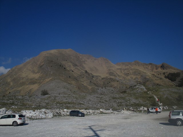
Per chi viene dalla costa toscana, il Monte Sagro, alto 1753 metri, rappresenta l'ultima sommità importante delle Alpi Apuane, ben riconoscibile per il suo profilo asimmetrico. Situato a ridosso della città di Carrara, è facilmente raggiungibile da Campocecina parcheggiando alla Foce di Pianza (GC30FE2) e proseguendo per il sentiero CAI 172 e la "Via Normale al Sagro", segnata in blu. Il sentiero è relativamente semplice e la vetta molto frequentata, per cui probabilmente vi basterà seguire la folla. Il versante nord, al contrario, è pressoché inaccessibile, con spettacolari e profondissimi dirupi verso la valle di Vinca. La cima è marcata da una croce ed è presente una rosa dei venti che vi dirà tutte le cime visibili, tra cui il Pizzo d'Uccello, il Pisanino e la Tambura. In giornate particolarmente limpide è possibile vedere alcune cime delle Alpi tra cui l'Argentera e il Monviso. Lato mare, la vista spazia dall'Isola d'Elba a Portovenere, oltre alla Gorgona e alla Corsica.
La cache è un contenitore di plastica tipo lock and lock, nascosta a poca distanza dalla vetta. Contiene logbook ed è possibile scambiare piccoli oggetti o trackable. La cima è molto frequentata, per cui usate un po' di discrezione (oppure spiegate il gioco ai babbani presenti). Manca la penna, ma ogni bravo geocacher dovrebbe sempre averne qualcuna con sé. Buona avventura!
For those coming from the Tuscan coast, Mount Sagro, 1753 meters high, represents the last important summit of the Apuan Alps, well-known for its asymmetrical profile. Located close to the city of Carrara, it is easily reachable from Campocecina parking at Foce di Pianza (GC30FE2) and continuing along the path CAI 172 and the "Via Normale al Sagro", marked in blue. The trail is relatively straightforward and the summit is very crowded, so it's probably enough to follow the crowd. The north side, on the contrary, is almost inaccessible, with spectacular and profound drifts to the valley of Vinca. The top is marked by a cross and there is a rose of winds that will tell you all the visible peaks, including the Pizzo d'Uccello, the Pisanino and the Tambura. On particularly clear days it is possible to see some Alpine peaks including Argentera and Monviso. On the sea side, the view spans from Elba Island to Portovenere, in addition to Gorgona and Corsica.
The cache is a lock and lock plastic container, hidden at a short distance from the summit. It Contains logbook and you can exchange small objects or trackables. The summit is very busy, so use a bit of discretion (or explain the game to the muggles present). There is no pen, but all good geocachers should always have one with them. Enjoy the adventure!