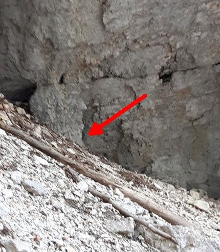
Kamniška Bela je ledeniška dolina ki leži prečno na dolino Kamniške Bistrice. V ledenih dobah so po njej drseli ledeniki izpod Planjave in Ojstrice . Dno je poraslo z gozdom, nad njo pa se dvigujejo strma pobočja Rzenika, Vežice in grebena Zeleniških špičk. Skozi dolino vodi markirana pot do sedla Presedlja in naprej na Konja ali na planino Korošico in naprej na Ojstrico. Glavna zanimivost doline je gotovo slap Orglice (staro ime Orličje), ki je visok kar 31 metrov. Slapov je višje v dolini še več, zgornji meri 12 metrov. Kmalu pod slapom potok Bela ponikne pod prod in se zopet pojavi malo pred mostom čez katerega vodi cesta v Kamniško Bistrico.
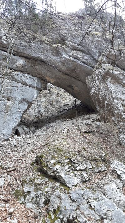
Velb je težko dostopen naravni most nad Orglicami, širok okrog 15 in visok približno 8 metrov, obok pa je debel okrog 10 metrov. Mimo vodi neoznačena lovska steza, ki nas preko Skoka pripelje na melišča Šraj peski, ki so tako kot melišča nad desnim bregom Kamniške Bele znana rastišča toploljubnega bodičnika (Drypis jacquinii). Pod čez skok je zelo zahtevno brezpotje, ki mestoma doseže težavnost II alpinistične stopnje.
Kamniška Bela Valley is a glacial valley transversely located on the valley of Kamniška Bistrica. During the time of ice ages the glaciers coming from Planjava and Ojstrica had been sliding along this valley. The bottom is covered with a forest and above it the steep slopes of Rzenik, Vežica and the ridge of Zeleniške špice are rising. A marked trail runs through the valley going all the way to Presedelj and further to Konj or the Korošica. The main attraction of the valley is definitely a 31-m high Orglice Waterfall (formerly known as Orličje). Further up the valley there are even more waterfalls, the upper one 12 meters high. Further down the waterfall the Bela stream disappears under the sandbank and reappears just before the bridge through which the road to Kamniška Bistrica leads.
Velb is a hardly accessible natural bridge above Orglice Waterfall, 15 m wide and about 8 m high with the circumference spannning about 10 m. There is an unmarked hunting trail leading by, which takes us over Skok to the Šraj peski screes, which are - just as the screes over the right bank of Kamniška Bela - well-known habitats of the plant species identified as Drypis jacquinii. There is a very difficult off-road terrain to cross under Čez Skok, in certain spots rated with the climbing difficulty level II.
Velb
Spoiler
Spoiler