 FRANCAIS
COURTEFONTAINE est un petit village jurassien d’environ 200 habitants, situé en lisière de la Forêt de Chaux, qui tire son nom du latin Curtus Fons (courte source). Cette multi vous emmènera à la source qui donne donc son nom à ce village.
Pour commencer, garez vous en : N47°07,791 / E005°48,252
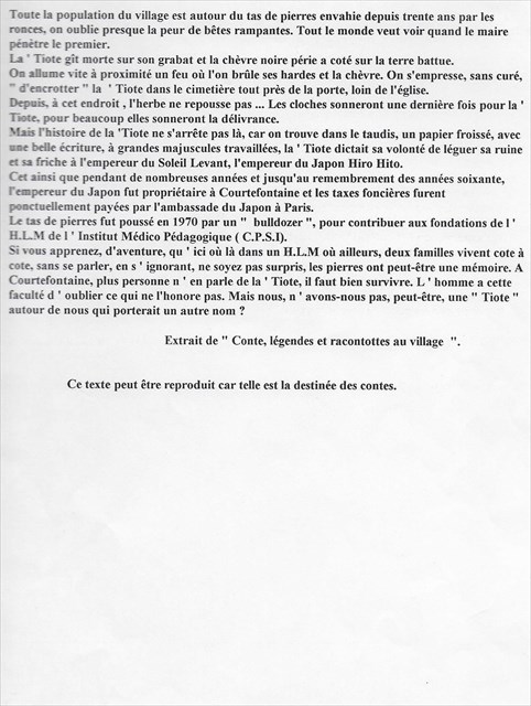
Pour relever le premier indice, vous devrez aller en : N47°07,793 / E005°48,254 où vous rencontrerez la statue de « La ‘Tiote » (une légende du village, racontant l’histoire, en 1970, d’une vieille dame toute de noir vêtue et le regard sombre, qui se promenait avec une chèvre aux grandes cornes. Les villageois la prenaient pour une sorcière.)


Indice à relever : AB = nombre de mèches de cheveux de la statue de la ‘Tiote
Vous pouvez en profiter pour observer juste derrière elle, le magnifique chêne tricentenaire. Il aurait été planté en 1678 lors du rattachement de la Franche-Comté, alors espagnole, au domaine du roi de France. Ce tricentenaire de plus de cinq mètres de circonférence est classé parmi les plus beaux arbres de la forêt de Chaux.

Dirigez vous ensuite vers l’église Notre Dame, en N47°07,805 / E005°48,276
L'église de Courtefontaine est l'un des rares édifices dont le style peut être qualifié de premier art roman, sans remaniements ultérieurs. Elle est présentée comme la plus complète des églises romanes de Franche-Comté. Elle a été construite, ainsi que l’énorme prieuré attenant, au XIIème siècle, de 1152 à 1170. L'église est classée Monument Historique depuis 1 875. On ne peut malheureusement plus entrer à l’intérieur pour des raisons de sécurité.
Le prieuré a été plusieurs fois vandalisé et brulé au gré des guerres et des conquêtes. Il a été restauré en 1978 par Mr Aubertin, qui y a installé sa manufacture d’orgues mondialement connue.
Indice à relever : CD = Nombre de pics sur le portail
E = Nombre de colonnes autour de la porte d’entrée de l’église
Dernière étape :
Les coordonnées de la cache sont : N47°07’(AxE)(E)(E-C)
E005°48’(C)(B+E)0
Si vos calculs sont exacts, vous arrivez à la source qui donne son nom au village ! Celle-ci arrose un lavoir, et faisait autrefois tourner un moulin (qui est maintenant une habitation privée), avant de se précipiter dans un gouffre profond pour ressortir à quelques kilomètres de là, dans la rivière souterraine des Grottes d’Osselle.
Source : http://www.courtefontaine-jura.fr

 ENGLISH
COURTEFONTAINE is a little Jura’s village. There is about 200 people living here, and it’s near the big forest named “Forêt de Chaux”. Is name is from the Latine name Curtus Fons, which means “short spring”. This multicache will take you to the spring which gave the village’s name.
First, you can park your car in: N47°07,791 / E005°48,252
For the first step, you have to go in N47°07,793 / E005°48,254 where you can meet the statue of “la ‘Tiote” (a village’s legend, with an old woman with black clothes and black eyes. It was in the 70’s, she was always walking the streets with a goat which had big horns. People were scared and thought she was a witch)

AB = number of hair strands of the statue
You can also look behind the statue, and see a big and beautiful oak tree! It was planted in 1678, when the French King took possession of the region “Franche-Comté” from the Spanish.
This tercentenary oak has a circumference of 5 meters (16,4 feet) and it’s classified as one of the most beautiful tree of the forest “Foret de Chaux”.

Then you can go near the big church, in N47°07,805 / E005°48,276
Courtefontaine’s church is one of the few edifices which is from first Romanesque art, without any change later. It is the most complete Romanesque church of Franche-Comté. It was built, with the big priory adjacent to the church, in the 12th century, between 1152 and 1170. The church has a French Historic Monument classification since 1875. Unfortunately, we can’t go inside because of security reasons. The priory was repeatedly vandalized and burned with wars and conquests. It has been restored in 1978 by Mr Aubertin, who actually lives in and who install his Organ Manufacture known over the world.
CD = Number of sharped bars at the top of the iron gate
E = Number of columns beside the church’s door
Last step:
The cache’s coordinates are like: N47°07’(AxE)(E)(E-C)
E005°48’(C)(B+E)0
If you have calculated correctly, you get to the spring which gives her name to the village! The water goes to an old washing place, and in the past it was running a mill (which is now a private house), and after it goes in an abyss until few kilometers, in the underground river of the “grottes d’Osselle” (Osselle cave).
