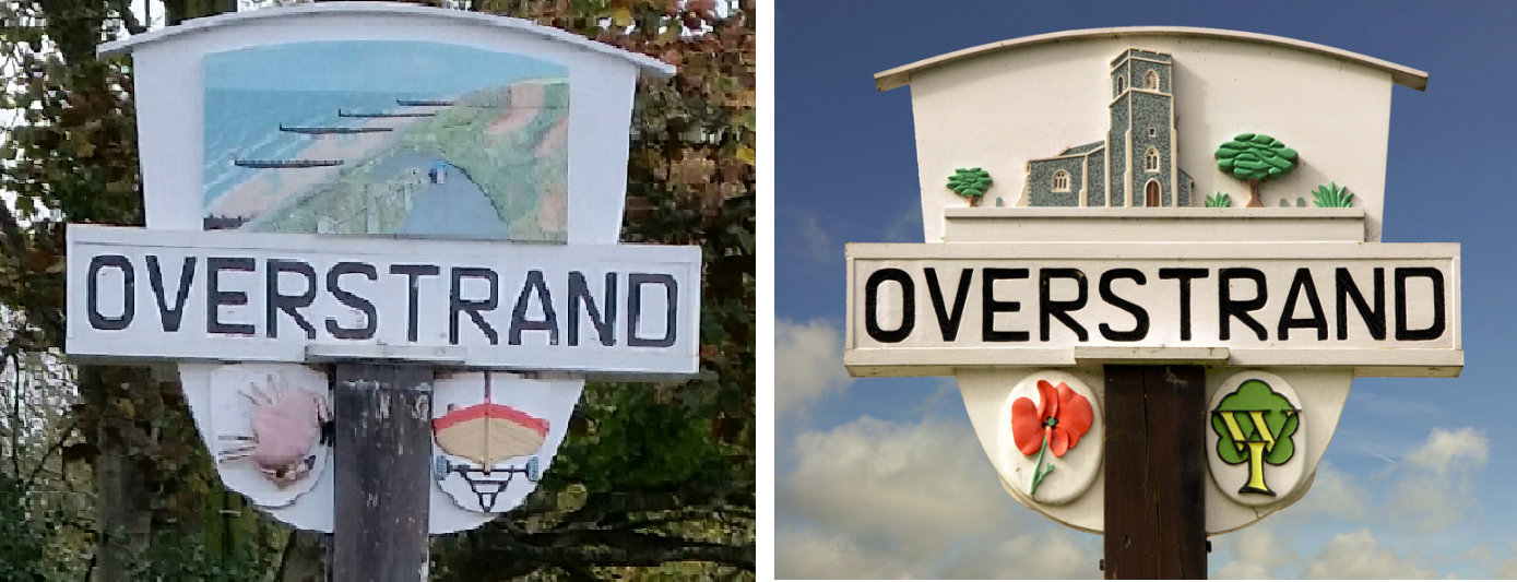
Overstrand, with a population of just over a 1,000, is two miles east of Cromer. It was once a modest fishing station, with all or part of the fishing station being known as Beck Hythe. In the latter part of the 19th century it was catapulted into prominence, and became known as “the village of millionaires”.
The London journalist and travel writer Clement Scott came to Overstrand in 1883, christened the area ‘’Poppyland’’, and wrote about the church tower on the cliff edge and its “Garden of Sleep”. While in Overstrand he stayed at the Mill House with miller Alfred Jermy and his daughter Louie, who became “the Maid of the Mill” in his articles about ‘’Poppyland’’.
Scott had many London contacts in the theatrical world, and his writings led a number of them and others from London society to come to Overstrand. Some bought land in the village and had houses built there, and for a while the village was the place to visit. A large hotel was built on the cliff edge, though this slid into the sea in the 1950s.
The Edwardian architect Sir Edwin Lutyens worked at Overstrand, designing Overstrand Hall for Charles William Mills, 2nd Baron Hillingdon, The Pleasaunce for Cyril Flower, 1st Baron Battersea and the Methodist Church. The large houses of the gentry have largely passed from private ownership to other uses.
As with much of the Norfolk coast, erosion was and continues to be a major problem. Clifton Way is an experimental site; its sea defences include riprap, wooden groynes, revetments, gabions and Offshore Reefs. The cliffs of soft boulder clay slump because of the water running through the clay, and the resulting material on the beach is removed by the succeeding high tides. In the neighbouring village of Sidestrand, the church was moved back from the cliff edge in the 19th century, though the tower of the church was left standing on the cliff top.
Please bring your own pen. There is parking available in the street in adjacent to the village sign. The area is overlooking by residential properties and is busy in the summertime with visitors to the area so please be careful when retrieving and replacing the cache. The cache is not at ground level.
**************************************
If anybody would like to expand this series please do. I would just ask that you let SmokeyPugs know first so they can keep track of the Village Sign numbers and names to avoid duplication..
*************************************