Un Chemin paisible et assez approprié pour les marcheurs, des vélos et des chevaux.
A peaceful and pretty Chemin suitable for walkers, bicycles and horse riders.
Localisation : D57 (St Jean de Daye - Graignes)
Département, Région : Manche (Basse-Normandie)
Revêtement : Enduit gravillonné
Résumé / Descriptif :
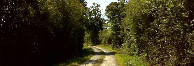
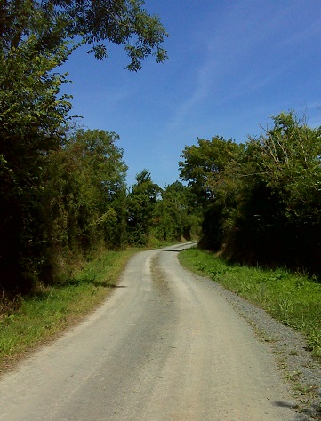
Cette Véloroute relie la « Voie Verte Transcotentine » (Porbail-Carentan) à la Voie Verte « Chemin de halage des bords de Vire », en traversant le Parc Naturel Régional des Marais du Cotentin et du Bessin. Ce parcours facile permet de découvrir le marais.
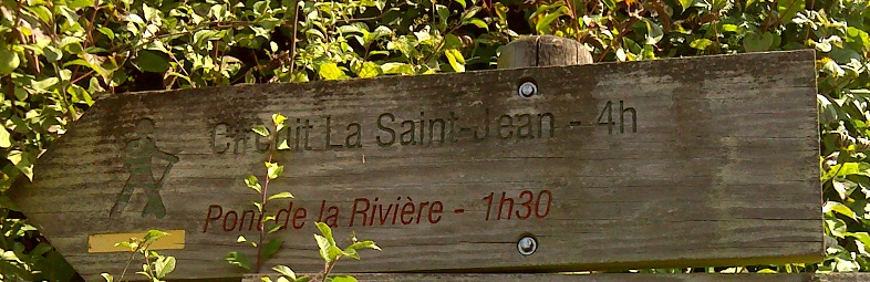
Le jalonnement des directions est clair. D57. Chemin. Suivez les panneaux indiquent : ‘'Circuit Saint Jean'.
This is part of a cycle route which connects the ‘Green Way Transcotentine’ (Porbail-Carentan) to the Greenway ‘towpath edges of Vire’, crossing the Regional Natural Park of Cotentin and Bessin. This is an easy route to discover the marsh.
Directions are clear. D57. Footpath. Follow the signs indicating: 'Circuit Saint Jean'
Petit cache - très petit swag nécessaire!
Small cache - very small swag needed!
Aussi un cache de nuit - rappelez-vous d'apporter une lumière!
Also a night cache - remember to bring a torch!