You're invited to take a journey through the Maryland's Heart of the Civil War.
The Heart of the Civil War Heritage Area (HCWHA) is an area rich in history, covering portions of Carroll, Frederick and Washington Counties. It is located just below the Mason-Dixon Line, generally viewed as the dividing line between North and South, and above the Potomac River. With one foot in the north, and one foot in the south, the story of the Civil War can be told nowhere better than in this part of Maryland.
No state experienced the Civil War quite like Maryland. Residents of this border state contributed significant resources to both sides of the war effort. Although large portions of the state’s economy relied upon slavery, Maryland lawmakers did not vote to secede from the Union at the outset of the war—though many did not have the opportunity to vote, as they were detained by the federal government because of suspected Confederate sympathies.
Between 1861 and 1865, the Civil War impacted nearly every Maryland resident. Some families faced financial ruin after troops ravaged their land. Thousands of fathers, sons and brothers became casualties of war. For enslaved Marylanders, the conflict ultimately brought about freedom as the new state constitution of November 1864 abolished the practice.
Marylanders witnessed three major military movements during the Civil War: the Maryland (also known as Antietam) Campaign in the fall of 1862, the Gettysburg Campaign in the summer of 1863, and the march to Washington led by Jubal Early in the summer of 1864. Geocachers can visit significant sites from each of these three operations on the Heart of the Civil War GeoTrail.
The mission of the Heart of the Civil War Heritage Area is to promote the stewardship of our historic, cultural, and natural Civil War resources; encourage superior visitor experiences; and stimulate tourism, economic prosperity, and educational development, thereby improving the quality of life in our community for the benefit of both residents and visitors.
The Heart of the Civil War Heritage Area Geotrail launched October 1st, 2016 with 15 geocaches within Maryland's Carroll, Frederick, and Washington Counties. A trackable geocoin will be awarded to the first 200 geocachers, (while supplies last), who find the locations of at least 13 HCWHA caches. To be eligible for the coin, geocachers must download a passport from the Heart of the Civil War website, and record the code word from at least 13 HCWHA geocaches. Geocachers may have their passports validated in person at the Newcomer House at Antietam National Battlefield or at the Visitor Centers in Westminster, Frederick, or Hagerstown. Please refer to the passport for Visitor Center hours and complete validation instructions.
Please note following change. A free prize will still be given to a geocacher who goes to at least 13 HCWHA geocaches and records the code in each of the geocaches on their passport. In addition, geocachers may purchase a trackable Geocoin for $10 at one of the following locations: Frederick Visitor Center, Hagerstown-Washington County Visitor Welcome Center, or Antietam Museum Store. Each of these locations will verify passports by mail and send a coin for a modest handling fee. Call for more information.
Participating in the HCWHA geotrail is fun and we hope that many people join in. However, it is not a requirement for logging your find on this cache once you find the container.

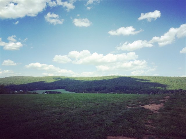
Maryland’s Pleasant Valley—bounded by South Mountain on the east and Elk Ridge on the west—played an important role in a precursor to the Civil War. On the other side of the Elk Ridge, a modest structure known as the Kennedy Farmhouse sheltered an infamous figure in 19th century America: John Brown. The radical abolitionist, using the name Isaac Smith, led a group of 21 young followers here with the intention of commencing a war against slavery in the United States. Brown gathered men, Sharps rifles and pikes at the Kennedy farmhouse hideaway while his daughter Annie and daughter-in-law kept close guard to keep prying natives away. Brown's ill-fated attack on the federal arsenal at nearby Harpers Ferry in October 1859 helped spark the Civil War.
During the Civil War, you would have a front-seat to the Battle of Crampton's Gap in nearby South Mountain. The saddle-shaped gap erupted into cannon and infantry fire on September 14, 1862, as a portion of the U.S. Army attempted to relieve a Confederate siege at Harpers Ferry. The Union effort failed, ultimately leading both armies to the Battle of Antietam three days later. After Antietam, nearly 30,000 men from the Union army encamped in Pleasant Valley to rest and recover from the single bloodiest day in American history.
The property owners have allowed the geocache to be searched during daylight hours.


Thanks to the following members of the Maryland Geocaching Society in placing the hides for this Geotrail: deepdish23, GeoAPPs, lpyankeefan, Phos4s, and ZombieHNTR.