
Cache information: Savannah NWR: Laurel Hill Wildlife Drive
Steward: RangerDoc
National Wildlife Refuge: SAVANNAH
Cache type: Letterbox Hybrid
Starting Coordinates: N 32° 09.924 W 081° 06.904
Difficulty: 2
Terrain: 2
Hours: Visitor Center, Monday - Friday 10:00AM - 2:00PM (Closed Saturday,Sunday and all federal holidays) Laurel Hill Wildlife Drive: Open Daily sunrise to sunset.
DO NOT ASK STAFF OR DESK VOLUNTEERS FOR HELP! They do not know the answers, and you are responsible for obtaining the correct information for the caches in this series. If you cannot solve or obtain the codes/combinations for the caches, please log your DNF and/or email us via our SCRC_Manager account for help.
This is a Letterbox Hybrid cache. Within the cache you will find a rubber stamp for letterboxing. Please do not remove this stamp! The red punch is for your passport, and also must remain with the cache!
Letterboxing is another form of treasure hunting that uses clues instead of coordinates. These types of geocaches will contain a stamp that is meant to remain in the box and is used by letterboxers to record their visit. To read more about letterboxing, visit Letterboxing North America.
Savannah National Wildlife Refuge, established April 6, 1927, consists of 29,175 acres of freshwater marshes, tidal rivers and creeks, and bottomland hardwoods. About half the refuge is bottomland, composed primarily of cypress, gum, and maple species. Access to these areas is by boat only.
The 3,000 acres of freshwater impoundments managed for migratory waterfowl were formerly the rice fields of plantations dating back to the mid or late 1700's. Many of the dikes enclosing these pools were originally built during the rice culture era.
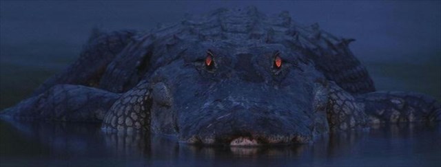
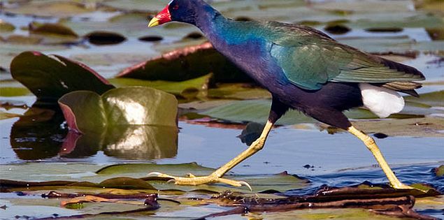
All dikes are open to foot travel during daylight hours, unless otherwise posted, and provide excellent wildlife observation points. Waterfowl are most abundant from November through February, while alligators and other reptiles are frequently seen from March through October. Birdwatching opportunities are good all year, but are best from October through April when temperatures are mild and many species of waterfowl and other wintering birds are present.
Motorists are welcome on the Laurel Hill Wildlife Drive, off of S.C. 170, which meanders along four miles of earthen dikes through managed freshwater pools and hardwood hammocks. Many hiking and biking trails are also available to the visiting public. Visitors can also enjoy other wildlife-dependent recreational opportunities such as hunting and fishing which are allowed at certain times of the year (please refer to hunting and fishing regulations).
The Cache
This is a 4 stage Letterbox Hybrid geocache. Stages 2-3 will require you to tune your radio to 1610 AM. You must visit each stage posted in the additional waypoint section below. At each stage you will gather a part of the 4 digit combination ("ABCD") that unlocks the ammo can at the "final location" (Inside the Visitors Center).
Once you have gathered the combination proceed to the "Waterways For Wildlife Exhibit" located in the Visitor's Center.
Stage 1 - Rice Culture and the Civil War
During the rice culture era in Georgia and South Carolina (1830 - 18__1) at least 30 plantations were located on the present-day refuge. Missing Digit = "A".
Stage 2 - Rice Field Trunk (information Panel)
Rice field trunk, c. 18__0. Missing Digit = "B".
Stage 3 - Prescribed Burning
Distance from this point To Garden City - __ . __ miles. Add the missing digits. Sum = "C".
Stage 4
As you enter the visitor's center look immediately to your right and count the teeth that are PROMINENTLY PROTRUDING in the "Muncher" subtract the number of teeth in the top jaw from the bottom jaw. This number = "D"
Final: Wave at the desk worker, examine the maps and touch table, and enter the boardwalk. Loop around to "The Living Soil", then "The Wonders of Bird Migration", and "Changes and Threats". YOU'RE GETTING CLOSE!
Next is the "Footprints Along the River"...and you're there!
The Savannah Coastal Refuges GeoTrail:
Savannah area Geocachers, the U.S. Fish and Wildlife Service, the National Wildlife Refuge System, and the Savannah Coastal Refuges Complex are proud to present the Savannah Coastal Refuges GeoTrail! There are 7 special geocaches placed to help you learn more about the U.S. Fish and Wildlife Service, the National Wildlife Refuge System, and the Savannah Coastal Refuges Complex!
Steps to the Savannah Coastal Refuges GeoTrail:
1. Obtain a Savannah Coastal Refuges GeoTrail Passport from our Headquarters location or download a PDF from www.fws.gov/refuge/Savannah
2. Go to Geocaching.com create a log-in and find the GPS coordinates and more information for the Savannah Coastal Refuges GeoTrail locations.
3. Start your search and locate all 7 caches using a hand-held GPS unit. The cache containers are sealed boxes, labeled as a Savannah Coastal Refuges GeoTrail geocache. Caches are located near Savannah, Georgia, in both great states of Georgia and South Carolina.
4. When you find a GeoTrail cache, log your name and any comments on the logbook inside the cache and punch your Passport with the unique orienteering punch for that specific Refuge.
5. Be sure to follow the Leave No Trace guidelines
6. Complete all of the GeoTrail's caches to get a custom Geo-Coin created by the master and celebrated designer Christian Mackey! Bring your completed passport into the Savannah National Wildlife Refuge Visitor Center and receive your coin. (Coins will not be mailed )
The USFWS Savannah Coastal Refuges Complex:
The Savannah Coastal Refuges Complex (SCRC) is a group of 7 National Wildlife Refuges (NWRs) spanning over 100 miles along the coast of South Carolina and Georgia. Our Refuges include Savannah, Pinckney Island, Harris Neck, Wassaw, Blackbeard Island, Tybee, and Wolf Island National Wildlife Refuges. Our headquarters is located at the Savannah National Wildlife Refuge, near Hardeeville, South Carolina.
The U.S. Fish and Wildlife Service (USFWS) is the premier government agency dedicated to the conservation, protection and enhancement of fish, wildlife and plants, and their habitats. The USFWS also helps ensure a healthy environment for people by protecting such ecosystem services as clean air and water.
Since President Theodore Roosevelt designated the first wildlife Refuge in 1903, the National Wildlife Refuge System has grown to include more than 560 refuges, 38 wetland management districts and other protected areas encompassing 150 million acres of land and water from the Caribbean to the remote Pacific. There is at least one National Wildlife Refuge in every state and territory, and within an hour’s drive of most major metropolitan areas.
National wildlife refuges provide habitat for more than 700 species of birds, 220 species of mammals, 250 reptile and amphibian species, and more than 1,000 species of fish. More than 380 threatened or endangered plants or animals are protected on wildlife refuges. Each year, millions of migrating birds use refuges as stepping stones while they fly thousands of miles between their summer and winter homes.
Each of the Refuges across the nation has been created for their own special, specific reasons. This geocache series will help you learn more about each of the 7 Refuges that make up the Savannah Coastal Refuges Complex!
For more information about this series, please contact us at SCRC Ranger. For general questions about geocaching at USFWS National Wildlife Refuges, please contact USFWS Land Manager user IslandsAndOcean.
Disclaimer to New Geocachers:
Please join us in playing! All are welcome who observe and obey the rules. Please do not move or vandalize the container. Replace the cache like or better than you found it and when you leave, and make sure the cache is completely covered. Please do not remove the stamp from the geocache box, this is a essential game piece for cachers working on the GeoTrail. The real treasure is in finding the container and sharing your thoughts with everyone who finds it. Pick up a GeoTrail Passport at the Savannah National Wildlife Refuge Visitor Center. DO NOT LEAVE SWAG/TRADE ITEMS OR TRAVEL BUGS/GEOCOINS BEHIND IN THE CACHES, PER USFWS PROGRAM REQUIREMENTS
PASSPORTS CAN BE DOWNLOADED HERE