This geocache is one of twenty Historical Geo-Passport geocaches within the South Nation Jurisdiction. For more information on this series of geocaches, please visit South_Nation.
Take a walk down the lane, where the geocache awaits. NOTE- Unless you are confident in your vehicle's ability on unmaintained muddy roads, it is NOT recommended you approach or leave this area from Pitch off road to the south. The road is well maintained to the North from this location.
Histoire / History:
En 1869, avant la création de l'Office de protection de la rivière Nation Sud, un rapport du commissaire des Travaux publics de la province de l'Ontario mettait en évidence de nombreuses préoccupations au sujet d'inondations et de dommages découlant de cette rivière alors appelée Petite Nation Sud. Le rapport montre que les conseils municipaux réclamaient fréquemment que « des enquêtes soient faites, pour concevoir des plans en vue d'atténuer les maux causés par ces inondations périodiques. »
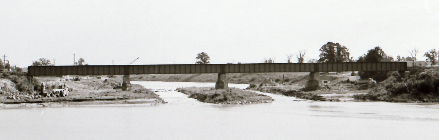
Le premier sérieux obstacle se trouvait aux sources de Plantagenet. Ce promontoire, un rebord plat de roche calcaire, s'étendait en travers de la rivière avec une chute en amont, formant un barrage naturel qui élevait le niveau d'eau. À cet endroit, pendant les crues printanières, les rochers provoquaient une accumulation de grumes et de bois flotté, augmentant l'effet de barrière naturelle. L'eau était alors endiguée en amont à un point tel qu'elle débordait et causait beaucoup de dégâts aux terres fertiles de chaque côté de la rivière, s'étendant aussi loin que Moose Creek.
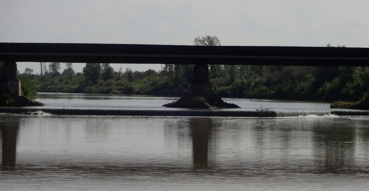
Une visite de ce lieu démontre clairement le projet de redressement entrepris par la CNS en 1980 où une importante excavation eut lieu dans le but de créer le déversoir en place aujourd'hui.
********************
In 1869, before the establishment of the South Nation River Conservation Authority, a report from the Commissioner of Public Works for the Province of Ontario highlighted many concerns of flooding and damage stemming from the, then called South Petite Nation River. The report cited municipal councils as frequent petitioners for “surveys to be made, to devise plans for lessening the evils caused by these periodical inundations.”
The first serious obstruction was found at the Plantagenet Springs. This “pitch off” is a ledge of flat limestone rock extending across the River with a dip upstream, forming a natural dam which raises the water higher than it would be if the ledge were removed. At this place during the spring freshets, the rocks cause the accumulation of logs and driftwood, increasing the effect of the natural barrier. The water would then be dammed upstream to such an extent as to overflow and cause much damage to the level fertile lands on either side of the river as far as Moose Creek.
A visit here clearly demonstrates the rectification project undertaken by SNC in 1980 where serious excavation occurred in order to create the weir in place today.