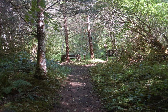
This scenic 1.5 mile trail is part of the Great WA State Birding Trail, Southwest Loop. The formal name for this trail is the Woods Creek Watchable Wildlife Trail, and the trailhead begins near an information board that talks about the area. It provides a beautiful, handicapped accessible trail that is four feet wide with compacted gravel surfacing. The wonderful woodsy trail is great for all ages to view some birds or other wildlife, and witness the beauty of a moss laden forest. A beautiful bridge takes you over a small creek that meanders through the trail area and leads to an adjoining loop, as it makes a figure eight pattern. You will find this cache hidden over the bridge and a short distance on the trail to the right at the fork for the Story Trail Loop. The yellow trail marking on the map for this cache listing is not exact, as this cache is on the left side of the trail as you take the right fork. We also believe that this cache can be retrieved from a wheelchair, but are still listing it as 1.5 Terrain. It's a great location for a short visit to the area or an extended one with interpretive signage along the way. This site is operated by the Forest Service, and provides an Interpretive Site, Picnic Tables and a small covered shelter, as well as a restroom. It is located approximately 5.8 miles south of Randle by taking Highway 131 which becomes Forest Service Road 25 at the "Y" one mile south of Highway 12. FS 25 eventually takes you to the turnoff to Windy Ridge Viewpoint.
2016 was the 100th anniversary of the National Park Service, and to celebrate, Visit Rainier and WSGA hosted the Visit Rainier Centennial GeoTour - 100 caches placed in and around Mount Rainier National Park. The geocaches highlighted the rich history, scenic wonders, quaint communities, and hidden gems of the Rainier region. Participants received geocoin and pathtag prizes for finding all the caches.

