The definition of a drowned valley is a valley that, having been flooded by the sea, or a blockage in the river’s path, now exists as a lake, bay or estuary.
A drowned valley is the geomorphologic term for a river that was once flowing in a valley, and somehow the valley became inundated (flooded with water). When a dam blocks a river valley, the river becomes a “drowned river”, it is still flowing, but is mixing in with the flood behind the dam. Or a river was flowing when the sea level was low, and the sea rose and flooded the valley. The river still flows, but below the water level.
Burrard Inlet is part of the Indian Arm fjord. Looking at a map of the Vancouver area, it is tempting to speculate that Burrard Inlet was once a branch of the Fraser River. However, there is no geologic evidence to support this and it appears that the present course of the Fraser River was established after the final retreat of the last ice sheets 11 ,000 years ago. Burrard Inlet is in fact the drowned valley of the two streams which drained the Indian River and Seymour River valleys.
When ice was covering the area of Greater Vancouver 11,000 years ago, sea level was much lower then, perhaps as much as 50 m lower. When the ice started to melt, the two rivers started to flow in their ancestral channel and as the sea level was lower, in fact Burrard inlet was only a river valley with no sea, so the rivers flowed during the draining of the melting ice. Over several thousand years, while the ice melted, sea level rose and the valley became inundated. In some places the ice is still melting.
To log this earthcache, send me an e-mail at the same time as logging the find, with the answers to the following questions:
-
What are the names of the two drowned rivers?
-
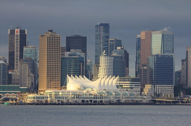
What do you estimate is the distance from you to the Canada Place Sails?
-
What is the name of the model ferry on the sign at GZ?