Vela Luka Traditional Geocache
-
Difficulty:
-

-
Terrain:
-

Size:  (small)
Please note Use of geocaching.com services is subject to the terms and conditions
in our disclaimer.
Vela Luka
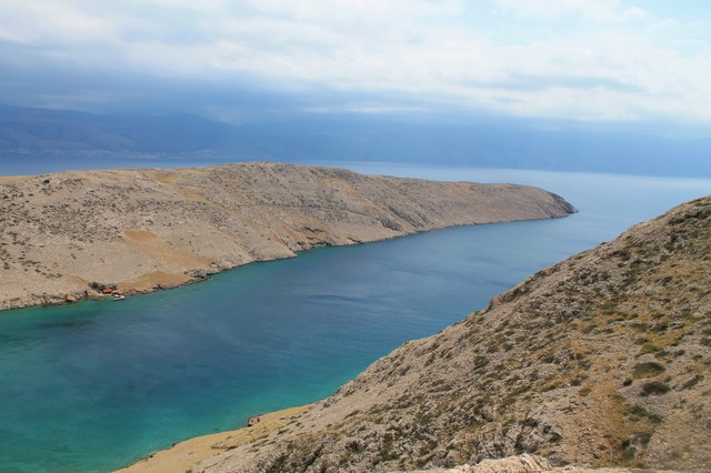
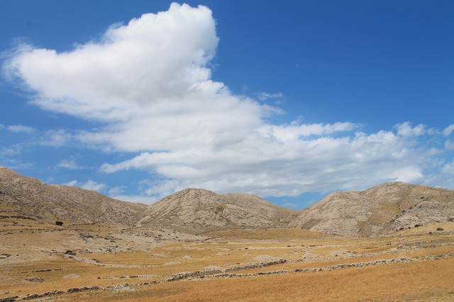
 Od Baške do Vele i Male Luke najinteresantnije je doći stazom koja kreće od ulaska u naturistički kamp Bunculuka i koja se kroz slikopisan kanjon Vrženice penje do Rebice gdje je krasan vidikovac. Od Rebice se staza u serpentinama spušta do Vele i Male Luke. Ne treba naglašavati da je pogled prema dolje veličanstven.
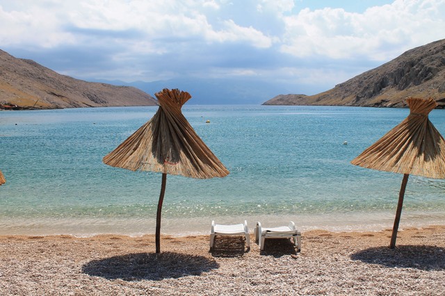
Vela Luka je uvala koja se nalazi na krajnjem jugoistoku otoka Krka, a na morskom putu iz Baške prema Senju. Duga je oko 1,8 km, a široka oko 400 metara. S jugoistočne strane zatvorena je rtom Sokol. Dno je pretežno pjeskovito, a na kraju uvale je velika pješčana plaža. U uvali na plaži nalazi se ugostiteljski objekt koji radi samo u ljetnom periodu.
Napomena:
Izbjegavajte planinarenje po otoku po jakom suncu. Idite na izlet po oblačnom vremenu. Ili rano ujutro. I ponesite si dosta vode. Gore nema pitke vode.
Pomoć:
Turističke obilježene staze (Turistička zajednica općine Baška)
 Vela Luka
From Baška to Vela and Mala Luka most interesting path is the one that goes from the entrance of the naturist camp Bunculuka through the picturesque canyon Vrženica to Rebica where is a beautiful viewpoint. From Rebica there is a serpentine path down to Vela and Mala Luka. Of course, the view is magnificent.
Vela Luka is a cove on the southeast end of the island, on the sea route from Baška to Senj. It is about 1,8 km long , and about 400 meters wide. On the southeast side it is closed by the Cape Sokol. The bottom is mostly sandy, and at the end of the bay there is a large sandy beach. On the bay beach there is a bar which works only in summer.
Note:
Avoid hiking on the island in bright sunlight. Go on a trip on a cloudy day. Or early in the morning. And bring plenty of water. There is no drinking water up there.
Help:
Marked tourist footpaths (Municipal tourism office Baška)
Additional Hints
(Decrypt)
[HR]: xnzrawr - ivqv fcbwyre fyvxh
[ENG]: fgbarf - frr fcbvyre