A sneaky little cache in a bold location. This point is the 20 mile marker (W-E). Please use stealth when retrieving the cache.
LOCAL INFORMATION
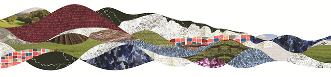
South Downs Way
Our ancestors have been walking the ridgeline of the South Downs for as far back as we can discover, all sharing the views that found Virginia Woolf “overcome by beauty more extravagantly than one could expect.” They crossed between Bronze Age barrows, with grassy ramparts still clearly visible at Old Winchester Hill, or as a circle of beech at Chanctonbury Ring and Iron Age hillforts, lit the beacons at Ditchling and Firle to warn of the coming Armada. We can share these experiences and enjoy more modern wonders such as the Chattri, a serene stone memorial and cremation site for the many Indian soldiers who fought and lost their lives in World War I.
The South Downs Way is one of 15 National Trails in England and Wales and was the first bridleway National Trail in England. It is also the only National Trail to lie entirely within a National Park.
Stretching from the ancient cathedral city of Winchester in the west, first capital of England, through to the white chalky cliffs of the Seven Sisters and Beachy Head at Eastbourne in the east, almost all of its stunning 160 kilometre length is blissfully off-road.
Today the South Downs Way offers inspiration and escape as we follow in their footsteps, whether ambling on an after-lunch stroll or rising to the challenge to walk, run or ride it over several days. Whoever you are, there are countless ways to enjoy this trail and all that it connects. It is the central thread running through the patchwork of culture and nature that is the South Downs National Park.
DISCOVERING MORE
Source of the River Meon
Looking North from the chalk ridge you can glimpse the location of the source of the River Meon. You should be able to just make out the farm buildings and a small copse at South Farm where the river rises.
The River Meon is a river that flows through an area of Hampshire in southern England known as the Meon Valley, it flows generally southwards from the South Downs to the Solent. For most of its route it is a chalk stream, with a length of 21 miles (34 km).
The River Meon rises approximately one mile (1.6 km) south of the village of East Meon. It first flows due north to that village, then northwest to West Meon, and southwest to Warnford before adopting its principal southwards flow. From Warnford the river flows through the villages of Exton, Corhampton and Meonstoke, Droxford, Wickham, and Titchfield. From Titchfield the river flows some 2 miles (3.2 km) through the marshes of the Titchfield Haven National Nature Reserve before entering the Solent through the small harbour at Hill Head.
TRAVELLING SUSTAINABLY
You can cycle to this geocache, access to the area is via the South Downs Way