GC5GG43 ▼
Size: (regular)
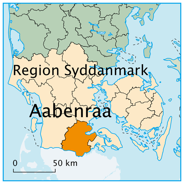
Aabenraa - Syddanmark - Danmark
____________________________________________________________________________________
Velkommen til Aabenraa - der ligger mange oplevelser og venter ! Welcome to Aabenraa – Many experiences are waiting for you ! !
www.aabenraa.dk
_____________________________________________________________
Vendersvold
Additional Hints (No hints available.)
What are Attributes?
Advertising with Us
There are no Trackables in this cache.
View past Trackables
What are Trackable Items?
View all bookmark lists...