
Cache Information:
Cache #: 2
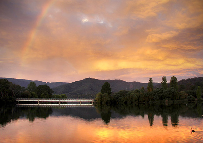
Location: Upper Pondage, Eildon
Access: All Vehicles, 24/7
Facilities: Roadside Parking
Details:
A geocache hidden at the Pondage at Eildon.
Additional Information:
Located at Eildon in the Shire of Murrindindi with a population of around 1,100 people. It is found on the edge of the Blue Range and on the banks of the Goulburn River and Lake Eildon National Park 24 km from Alexandra and 142 km from Melbourne on the Goulburn Valley Highway.
History:
Eildon is home to two large Pondages, these were built as part of the Big Eildon dam project. In 1951 work began on a larger dam to replace the smaller Sugarloaf Dam (opened 1926). It was known as 'Big Eildon' and included a spillway, two pondage areas (Upper Pondage and Lower Pondage) and a 120 Megawatt Hydro-Electric Power Station. The 'Big Eildon' dam was constructed by the American UTAH company and when completed was capable of holding 3,500,000 Megalitres of water at full capacity.
Lake Eildon GeoTour:
Australia's first GeoTour is held in one of Australia's most feature rich locations. Lake Eildon, located in the state of Victoria, is known for its fishing, water based activities and beautiful bushland surroundings and natural features. It's also known for its arts, crafts, eateries and townships.
The Lake Eildon GeoTour is designed to be completed over a number of days with several areas selected for their excellent food and places to stop and rest. Please see our GeoTour Companion (download below) for full details on distances and expected travel times.
The GeoTour includes five different types of geocaches and ends with a puzzle that is solved by gathering information while finding the other caches. These questions can be found on the on the passport (download below) and the final cache page.
Useful Links:
Lake Eildon GeoTour Passport
Lake Eildon GeoTour Companion
Lake Eildon GeoTour Website