MCT : Pass up Traditional Geocache
-
Difficulty:
-

-
Terrain:
-

Size:  (small)
Please note Use of geocaching.com services is subject to the terms and conditions
in our disclaimer.
This is perhaps my favourite in this section of the series.
It may be accessible without a boat (you'll need a rope). If you have paddled here you will need to get out of your craft at the given coordinates to attain the cache (moor up first). Attributes are for two separate approaches, you don't need both.
It should be in full view, so if it isn't please log a DNF so that I can investigate.
This is one of the better places to stop for a picnic along the river if you are boating as the river access is easy and there are grassy areas beside the lock. You may see other canoeists here. Every time I have been here there has been someone fishing from near the downstream canoe access point.
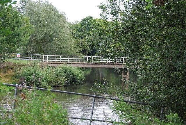
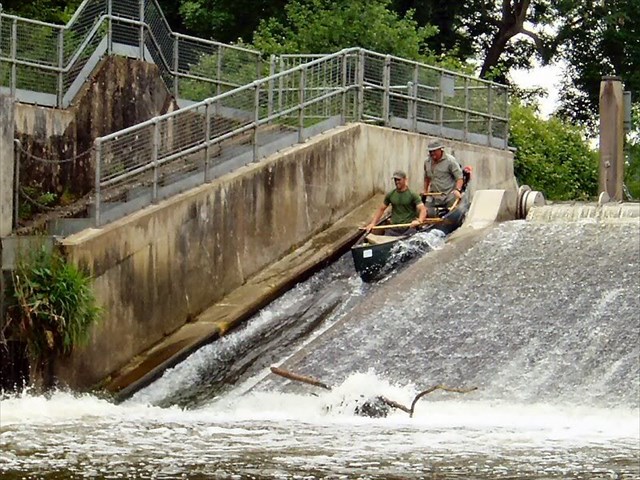
To the side of the weir a few tens of metres upstream of here is a canoe pass slope.
The Canoe access point is on the right when looking upstream, see the additional waypoint.
To pass the lock upstream walk straight along the side of the lock with the water on your left to find the canoe launching site.
The canoe pass is great fun (like a log flume ride).
I should point out that it is the steepest pass on the Medway and is rated 'Black (difficult)'. It may be challenging especially to relatively inexperienced, especially single, kayakers and to everyone when the river flow is rated as RED.
Additional Hints
(Decrypt)
Haqresbbg