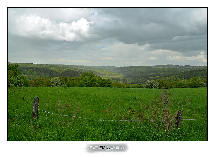
Cesky : Kopec Ďábel je údajným geometrickým středem Čech, protože ke všem hranicícm (s Moravou, Rakouskem, Německem i Polskem) je to odsud stejně daleko, tedy 105km. Vrchol kopce je ale bohužel nepřístupný, protože je na něm zdroj pitné vody, který je navíc oplocený. Kešku jsem proto umístil mírně stranou na místě, kde je malá infotabule a také celkem hezký výhled do krajiny.
!! Nejezděte až ke keši autem, děkuji !!
Nejezděte prosím až ke kešce autem, na cestě je velký provoz osob a hospodářských zvířat a nedá se tu vyhnout. Zaparkujte prosím dole v obci, nebo použijte parkovací waypoint.
English : The Devil Hill is allegedly the geometric center of Bohemia because all the borders (with Moravia, Austria, Germany and Poland) lie in the same distance from here, ie 105 km. The top of the hill is unfortunately inaccessible because a source of drinking water is situated there and the area is fenced in. Therefore I placed the cache a little bit aside in a place with a small information board and a nice view of the landscape.
!! Do not drive in to the cache site !! Thank you !!
Please do not drive to the cache site by car as there is a lot of pedestrian and livestock traffic on the road and very little space to avoid them. Please park in the village below or use the parking waypoint.