Duna de Salir
N:39º 30,099 W:009º 09,071 A duna ter-se-á formado à custa de materiais provenientes da praia e do rio de Tornada, transportados pelos ventos, tendo-se depositado junto à arriba, pois esta serve de obstáculo à passagem dos ventos.
Actualmente esta rampa de areia está sujeita a um processo de erosão, não só pelo escavamento da base devido à ondulação e ao rio de Tornada, provocando pequenos desmoronamentos, responsáveis pelo forte declive que apresenta, como ainda pelo intenso pisoteio a que está sujeita.
Erosão esta que não é compensada pela quantidade de areias que ali chegam transportadas pelo vento. A erosão da duna pôs a descoberto areias vermelhas, mais compactadas e mais antigas. Encontram-se também fragmentos de areia com consolidação, cujos grãos estão unidos por carbonatos e apresentam um esboço de estratificação, que são o vestígio de uma duna mais antiga, denominada “duna fóssil”.
A área coberta com vegetação dunar. Esta vegetação, pelas suas características, nomeadamente pela extensa rede de raízes que apresenta, permite a fixação das areias, evitando a erosão das dunas e contribuindo para a sua estabilização.
- Saber quantas tábuas de sustentação da duna existem. -E qual a altura média da duna.
Respostas por mail não no log. (Através do meu perfil). Log sem autorização será apagado.
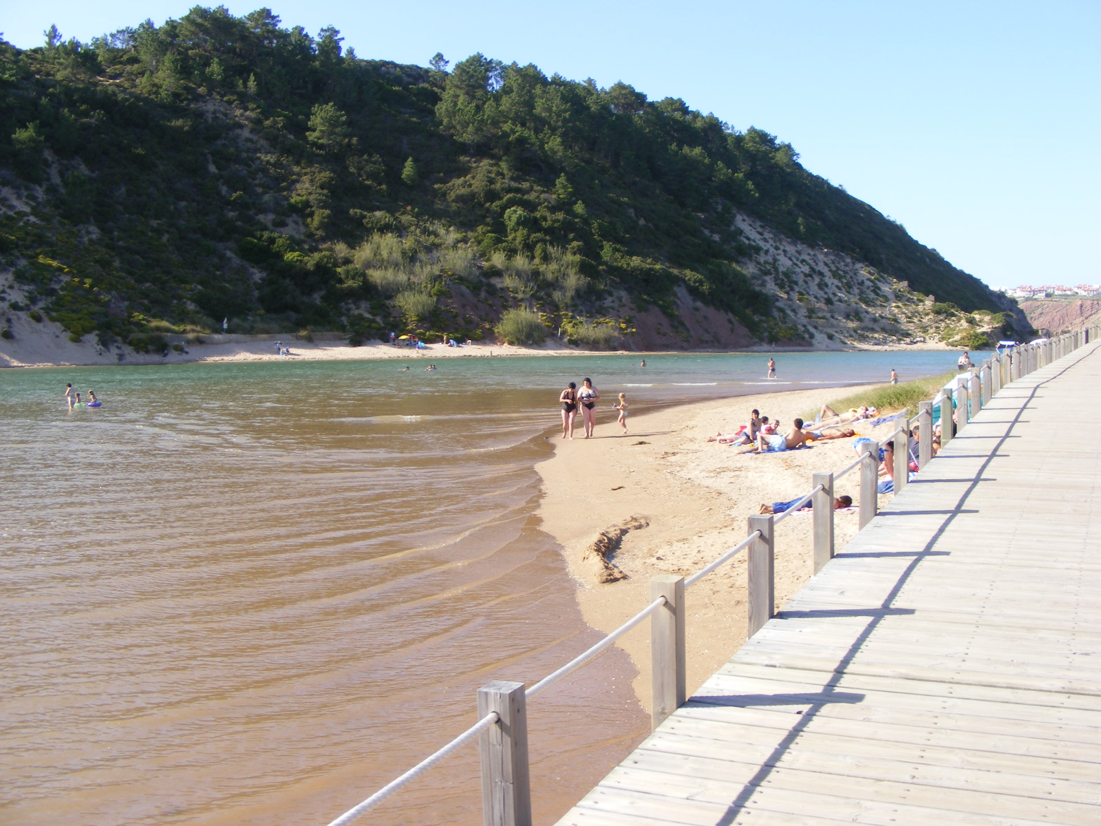
Dune of Salir
N:39º 30,099 W:009º 09,071 The dune will be formed at the cost of materials from the beach and the river of Tornada, carried by winds and it was deposited with the cliff, because it serves as a barrier to passage of the winds.
Currently the ramp of sand is subject to a process of erosion, not only by dig the base due to the ripple of the river and Tornada, causing minor landslides, responsible for the sharp slope that presents, but also by intense trampling on which it is subject.
Erosion this is not compensated by the amount of sand who arrive carried by the wind. The erosion of the sand dune has discovered the red, more compressed and older.
There are also fragments of sand with consolidation, whose grains are united by carbonates and present an outline of stratification, which is the vestige of an older dune, known as "dune fossil." The area covered with vegetation dunes.
This vegetation, their characteristics, including the extensive network of roots which, allows the setting of sand, avoiding the erosion of dunes and contributing to its stability, stresses. To make the log I want to:
- How many boards to support the dune there. - What is the height of the dune.
Responses by mail not in the log.(Using my profile to send).
Log without authorization will be erased.
 The most exciting way to learn about the Earth and its processes is to get into the outdoors and experience it first-hand. Visiting an Earthcache is a great outdoor activity the whole family can enjoy. An Earthcache is a special place that people can visit to learn about a unique geoscience feature or aspect of our Earth. Earthcaches include a set of educational notes and the details about where to find the location (latitude and longitude). Visitors to Earthcaches can see how our planet has been shaped by geological processes, how we manage the resources and how scientists gather evidence to learn about the Earth. To find out more click HERE.