It's all about the Cone
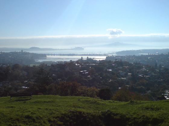
Mount Hobson is one of the Volcanos of Aucklands Volcanic field. Being monogenetic, the volcanos on this field have only erupted once. Nevertheless the field is still rated as 'active' and experts predict that based on past events, the field is likely to erupt within the next 'hundreds to thousands of years'. While this won't have an affect on the current property prices,- in geological terms, this only means a short time.
Volcanic cones are probably the most common way to identify if what you see is a Mountain or a Volcano. Those cones are built by ejecta from a volcanic vent piling up around the vent in shape of a cone with a central crater. Volcanic cones come in different types and shapes dependend on how they where created and what type of magma/lava was involved. The common cone types are spatter cones, stratocones, ash cones and tuff cones or cinder cones.
Spatter Cone
Spatter Cones are typically Volcanos with highly viscous magma.When hot erupting lava contains just enough explosive gas to prevent the formation of a lava flow, but not enough to shatter into small fragments the lava is torn by expanding gases into fluid hot clots, raging in size from 1cm to up to a half meter across, called spatter.
Stratocone
A stratocone is a tall, conical volcano with many layers (strata) of hardened lava, tephra, and volcanic ash. Stratocones are characterized by a steep profile and periodic, explosive eruptions. The lava that flows from stratovolcanoes tends to be very viscous; it cools and hardens before spreading far. The magma forming this lava is often felsic, having high-to-intermediate levels of silica (as in rhyolite, dacite, or andesite), with lesser amounts of less-viscous mafic magma.
Ash and Tuff cones
The ash and tuff volcano cones form as a result of contact between lava and bodies of water with shallow depths. This distinguishes them from the cinder and spatter cones, which are created from the lava itself. When the lava and water make contact, it produces a steam. The mixture of the steam, lava and water make flurries of sand and stilt-like particles, also referred to as ash. When all of the ashes settle on the ground, it forms an ash cone. When the ash cone solidifies, an act of all the fallen ashes consolidating with one another, it is known as a tuff cone, or tuff ring.
Cinder Cones
These volcanic cones are composed of cinders, which are small rock fragments. Some of the rock fragments include pumice and tephra. Volcanoes with cinder cones are recognized by the bowl-shaped crater at the volcano's summit.This type of volcanic cone is formed when a single-vent volcano erupts and the ejected lava breaks into small pieces. Once the lava lands onthe surface, it hardens into a rock fragment. Cinder cones are typically one of the smaller varieties of volcano cones in terms of height, with some growing up to 100 meters.
How to log this cache:
To log this cache, you will have to provide answers to the following questions. Every log that was logged without permission, will be deleted.
- What type of cone does Mount Hobson have?
- What is the diameter of the cone? Please describe how you measured it. Keep in mind that one side of the Volcano has been altered to serve as a water reservoir
- How high is Mount Hobson?
- What is the number on the geodetic survey mark?
All answers are provided either in this description, or can be found/measured on site.
Optional:
- Make a photo from your GPS at the survey Mark, showing the height and the coordinates of the of the geodetic survey mark.
Sources/References: