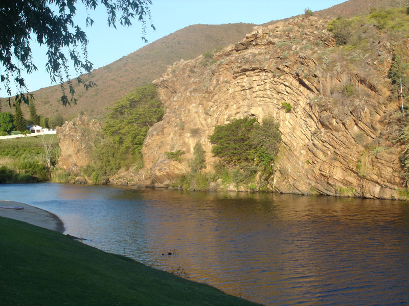
Olifantskrans lies on the Breede
River. Over the millennia, the river has carved a cliff face in the
mountainside, exposing the folded and contorted rocks. The name
Olifantskrans is thought to derive from the Elephants that were
once hunted here.
The cache is on the opposite side of
the river to the Olifantskrans River Cabins.
The cache is hidden within the
irrigation tunnel that passes through the Olifantskrans cliffs, and
can be reached from either end. The co-ordinates given are for the
actual cache location (I was able to get +/-3m accuracy). If your
GPSr is not waterproof, it is not strictly necessary to take it
into the water - in fact it would be a bad idea!! The location of
the cache should be fairly obvious.
The canal was built to provide
additional irrigation to the farms in the valley. The tunnel was
excavated in 1906 after previous attempts to bypass Olifantskrans
with a wooden aqueduct built on top of 7m pillars next to the
cliffs proved unsuccessful.
If approaching from the road, park
at S33 53.857 E20
00.832 (on left when approaching from
Robertson). Cross over the road and climb over the safety barrier.
There is a distinct trail from S33 53.825 E020
00.849 to the downstream (southern) end of the tunnel
at S33 53.833 E020 00.808 If you are unsure of the strength of the
water flow, enter from the downstream
end!!!
The North
(upstream) end of the tunnel can also be reached from the road, but
the trail is indistinct - make your way to the irrigation canal at S33 53.767 E020
00.924 (next to a disused sluice), from there it is a
short distance to the tunnel.Watch out for "Duwweltjie" thorns
underfoot!
If approaching from the river, the
North end of the tunnel is the most easily accessible. From the
upstream (northern) end of the cliffs, scramble up the slope to the
irrigation canal and walk along the concrete wall to the tunnel
entrance at S33 53.770 E020
00.905