Carved From Melted Ice - Storulfossen EarthCache
Carved From Melted Ice - Storulfossen
-
Difficulty:
-

-
Terrain:
-

Size:  (not chosen)
Please note Use of geocaching.com services is subject to the terms and conditions
in our disclaimer.
The objective of this earthcache is to learn how the melting period
following the ice age has formed the landscape around the Rondane
mountains.
21-23000 years ago Scandinavia was covered completely by a large
ice cap. During the following melting period the ice layer became
thinner and the melting water filled up fjords and valleys first.
The remaining layer then broke into large pieces and the water
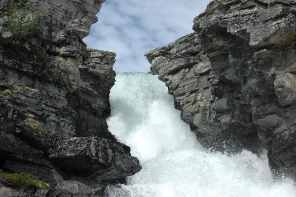
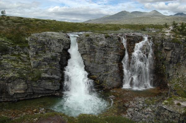
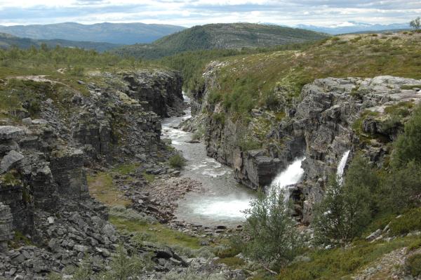
could run through the cracks underneath the ice layer, forming
canyons and waterfalls like the Storulfossen.
To log this cache, please send me the answers of these
questions:
- While standing at the earth cache location look down and take a
guess. How many meters does the water fall down?
- In which direction was the melting water flowing at the
beginning of the melting period?
- What formed the Storulfossen and the canyon and when did this
happen?
How to get to the cache location:
- drive up to Mysuseter (expect to pay a fee for parking)
- from the parking lot follow the gravel road, pass by a road
barrier which can only be opened by people living there, until you
reach a creek
- follow the path (which later on is marked with blue color)
along the creek, but never cross the water!
Additional Hints
(No hints available.)