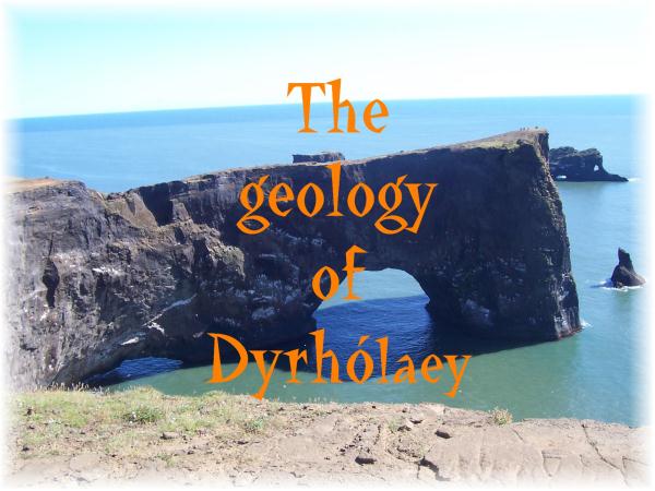
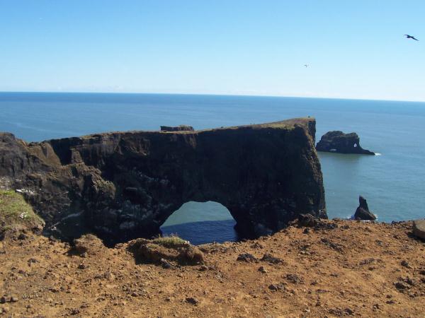
Dyrhólaey is a promontory reaching out into the ocean on the south coast of Iceland. It is the southernmost part of the country.
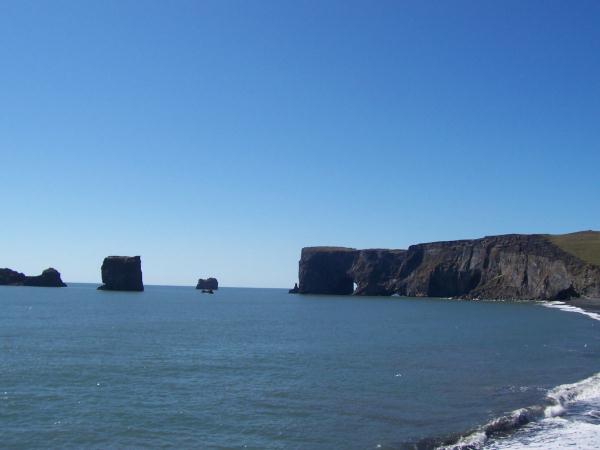
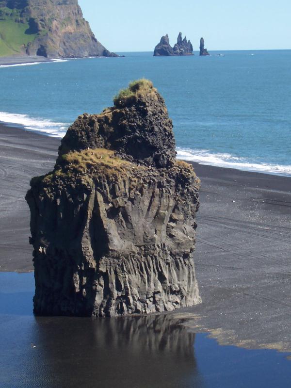
Off Dyrhólaey there are rock pillars, that are unique natural formations. There, a very rich birdlife can be enjoyed, among other species you can see Fulmar, Guillemot, Razorbill, Gannet, Puffin and various types of seagulls.
Dyrhólaey is thought to have been created during an interglacial period late in the Ice Age by a submarine volcanic eruption. The western part of it is named Háey (High Island) and is made of tuff and the eastern part of it is often named Lágey (Low Island) and that part is made of dolerite.
In former days many boats were operated from Dyrhólaey, and most of the local farmers went fishing in order to help with the housekeeping During recent years, farmers have developed a remarkable nesting site for eider ducks in the promontory for the gathering of down.
Geology:
Tuff
is a type of rock consisting of consolidated volcanic ash ejected from vents during a volcanic eruption. Tuff is sometimes called tufa, particularly when used as construction material, although tufa also refers to a quite different rock. Rock that contains greater than 50% tuff is considered tuffaceous.
Basaltic tuffs
are of wide spread occurrence both in districts where volcanoes are now active and in lands where eruptions have long since ended. They are found in Skye, Mull, Antrim and other places, where there are tertiary volcanic rocks; in Scotland, Derbyshire and Ireland among the carboniferous strata; and among the still older rocks of the Lake District, southern uplands of Scotland and Wales. They are black, dark green or red in colour; vary greatly in coarseness, some being full of round spongy bombs a foot or more in diameter, and, being often submarine, may contain shale, sandstone, grit and other sedimentary material, and are occasionally fossiliferous. Other recent basaltic tuffs are found on the Faroe Islands, Jan Mayen, Sicily, Sandwich Islands, Samoa, etc. When weathered they are filled with calcite, chlorite, serpentine and, especially where the lavas contain nepheline or leucite, are often rich in zeolites, such as analcite, prehnite, natrolite, scolecite, chabazite, heulandite, etc.
Dolerite
is a mafic, holocrystalline, subvolcanic rock equivalent to volcanic basalt or plutonic gabbro. Dolerite dikes and sills are typically shallow intrusive bodies and often exhibit fine grained to aphanitic chilled margins which may contain tachylite (dark mafic glass).
Dolerite normally has a fine, but visible texture of euhedral lath-shaped plagioclase crystals (62%) set in a finer matrix of clinopyroxene, typically augite (20–29%), with minor olivine (3% up to 12% in olivine dolerite), magnetite (2%), and ilmenite (2%). Accesory and alteration minerals include hornblende, biotite, apatite, pyrrhotite, chalcopyrite, serpentine, chlorite, and calcite.
The feldspar is high in anorthite (as opposed to albite), the calcium endmember of the plagioclase anorthite-albite solid solution series, most commonly labradorite.
Arch or bridge?
A natural arch or natural bridge is a natural geological formation where a rock arch forms, with an opening underneath. Most natural arches form as a narrow ridge, walled by cliffs, become narrower from erosion, with a softer rock stratum under the cliff-forming stratum gradually eroding out until the rock shelters thus formed meet underneath the ridge, thus forming the arch. Natural arches commonly form where cliffs are subject to erosion from the sea, rivers or weathering (subaerial processes); the processes "find" weaknesses in rocks and work on them, making them bigger until they break through.
To log this earthcache:
Mail me the answers of the following questions:
- Do you think Dyrhólaey is a natural arch or a natural bridge? Or is it something complete different? Whats the reason for your opinion?
- Estimate the height (in metre) of Dyrholaey?
- Whats another term for dolerite?
Optional task: Please make a photo of you with your GPS or only your GPS in front of Dyrhólaey and upload it in your log!