Cache is about 75 feet downhill (west) on the trail from the actual crash site. No need to leave the trail or to disturb any of the wreckage.
----------------------
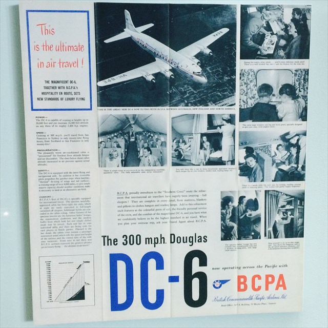
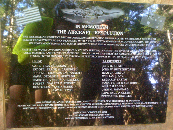
Thursday, 29 October 1953. A four engine DC-6 is heading for a landing at San Francisco International Airport. The plane is almost at the conclusion of the last leg of its journey from Sydney, Australia. It took off on its last flight from Honolulu, Hawaii at 10:59 p.m. on 28 October 1953 with eleven passengers and a crew of eight.
As the plane was approaching the west coast of the United States it encountered a fog bank. The plane was given clearance to continue on its flight path, which required that the crew maintain at least 500 feet elevation above the fog/cloud cover. Sadly, the flight did not maintain at least 500 feet on top of the fog/cloud cover, and descended in weather conditions which precluded visual reference to the ground.
At 8:44 a.m. the plane's wings sheared off the tops of Redwood trees at an elevation of 2,020 feet, and the plane's fuselage then slammed into the west side of a forested and steep mountain area at an elevation of 1,950 feet one-fourth mile to the north. All of the crew and passengers perished. The United States Civil Aeronautics Board released an accident report on 15 June 1954. The report stated that "the probable cause of this accident was the failure of the crew to follow prescribed procedures for an instrument approach."
If you decide to ride a mountain bike to this cache please note that the Resolution Trail is rated intermediate due to its many rock and root filled technical sections. Bring tools and spares and let someone know where you are and when you'll be back. The shortest route is from the CM07 gate, but parking can be tricky there.
Do not disturb any wreckage or leave the trail as this is expressly forbidden in this preserve.
Please also take a moment to consider the lives that were lost on this hillside back in 1953.
---------------
Update: Fascinating log! "Radio Ranch" posted a note for DC-6 Resolution Crash Site (again!) (Traditional Cache) at 12/7/2010
Thanks for placing this cache here. I lived within a few miles of this for four years, but never knew how to get to the site. My uncle was aboard that ill-fated flight. He caught an earlier flight home to the states than planned because he was missing his family. You can read more about him here: http://www.williamkapell.com/articles/kimmelman.html "
————-
RadioRanch posted another article on 3/14/2024. Thank you!
https://suffolktimes.timesreview.com/2024/03/family-photograph-beckons-what-might-have-been/
Plaque (and the reflection of 2 mountain bikers) can be found at the nearby turnoff to the Vista Point.