Vodopady Studeneho
potoka
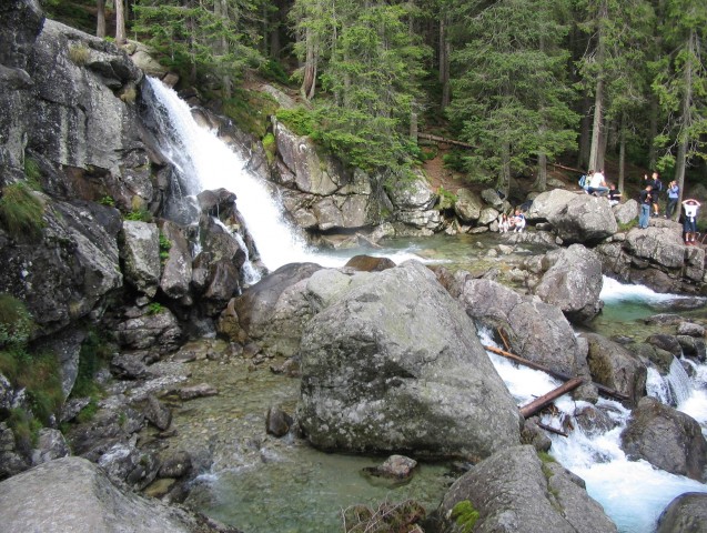
 Vodopady Studeneho potoka vznikaji soutokem
Velkeho Studeneho potoka s Malym Studenym potokem.
Na useku od paseky Kamzik v tesné
blizkosti Rainerovy chaty ve Velke studene doline az po svah pod
Bilíkovou chatou proteka Studeny potok vyraznym terennim zlomem a
vytvari rozmanite kaskady, ktere jsou zvlast pusobive pri vysoke
hladine vody po jarnim tani nebo po vydatnych destich. Zde se ve
smeru toku nachazi komplex malych i vetsich vodopadu, pro nez je
zvykem pouzivat souhrnny (ale nespravny) nazev Studenovodske
vodopady.
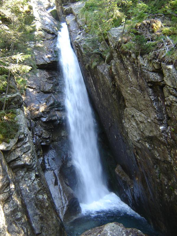
Tam, kde horska bystrina zaciná
tect uz pod nazvem Studeny potok, nachazi se Maly vodopad (1276 m
n.m.), ktery prekonava 18 metrovy vyskovy rozdil. Pod nim do hloubi
pada 5 metrovy Skryty vodopad a jeste nize Velky vodopad s nejvyssi
kaskadou 13 metrovou. Posledni je Dlouhy vodopad, koncici ve
vysce 1153 metru nad morem.
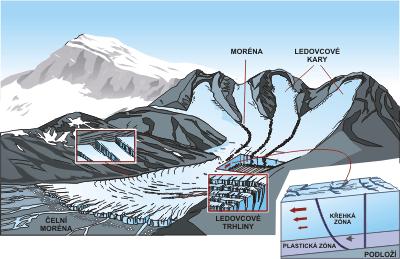
Podlozi Studeneho
potoka je tvoreno granodiority a jde o potok ledovcoveho puvodu.
Geneticky jde o kaskadu vodopadu ruzne vysky v dolni casti
glacialniho prahu.
Vodopady Studeneho potoka jsou
velmi atraktivni pro turisty, kteri se semostanou turistickymi
cestami ze tri smeru: z Tatranske
Lesne, Tatranske Lomnice a Stareho Smokovce.
Nejlepsi
pristup je ze strediska Hrebienok po zelene nebo cervene znacce
okolo Bilíkovy chaty. Cesta trva priblizne 20 minut.
Vodopady jsou pristupne v prubehu celeho
roku.
__________________________________________________________________
Vasim ukolem je zaslat Vase odpovedi na
nasledujici otazky na muj profil.
1)
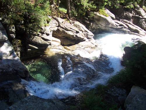
Odhadnete sirku potoka pod vodopadem, ktery jste fotografovali s
GPS.
2) Strucne vysvetlete vyraz
"glacialni prah"!
3) Pozorne si prohlednete
potok u vodopadu a pod nimi (v granodioritu). Zjistete, ktery
prirodni proces pusobi na koryto potoka
...
K logu prilozte fotografii Vasi GPS
pred nekterym ze jmenovanych vodopadu!
____________________________________________________________________________

__________________________________________________________________
The Cold creek
waterfalls
 Started with the confluence of the Great
Cold with a Small creek with a cool stream.
In the area of forest clearings in the near
Chamois Rainer cottage in Great Cold Valley and the hills below
the Bilíkova hut Cold creek flows through the expressive
terrain break and creates multiple cascades, which are particularly
impressive when high water levels after the spring thaw or after
strong rains. Here, in the direction of flow is a complex of
smaller and larger waterfalls for which it is customary to use the
general (but incorrectly) the name of the Coldwater
waterfalls.
Where mountain streams flow starts already
under the title Cold creek, located a small waterfall (1276 m asl),
which overcomes 18-meter height difference. Beneath him the depths
of 5 meter fallsHidden waterfall and even below the highest
waterfall The Big 13 meters cascade. The last waterfall is long,
ending at an altitude of 1153 meters above sea
level.
Basement Cold Creek consists of
granodiorites and on a glacial stream.
 Genetically terms of a cascade of
waterfalls of different heights in the bottom of the glacial
shelf.
Cold Creek Waterfalls are very attractive
for tourists coming here to get tourist routes from three
directions: from Tatranske Lesne, Tatranska Lomnica and Stary
Smokovec.
The best approach is from the center
Hrebienok the green or red markings around Bilíkova hut. The
journey takes about 20 minutes. Waterfalls are available in
throughout the year.
_____________________________________________________________________________
Your task is to send your answers to these questions on my
profile.
1)
Estimate the width of the stream below the waterfall that you used
with GPS.
2) In summary
Explain the term 'glacial threshold'!
3) Carefully you can see
the waterfall and stream below them (in granodiorit). Discover the
natural processes operating on the creek
...
Do your
log add pictures to your GPS before any of the Cold Creek
watterfalls.
____________________________________________________________________________
Dekujeme Vam za navstevu!
Thank you for
visiting!