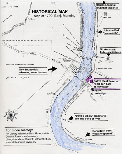
Early settlers named this location “Ye Devils Elbow” due to the sharp river bend and landmark cliff, as shown on the Manning map of 1790.
In 1922, Frank Ayers developed this location into a public beach. Beach parties, dances, and community dinners took place here.
By the 1940’s, the river had become terribly polluted, ending the days of beach and bathing activity. A marina known as “Red’s Marina” continued to operate on the site. Sea planes and boats were frequently docked here.
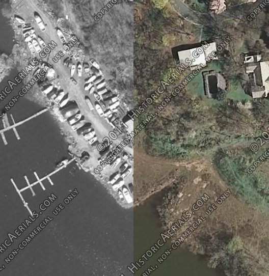
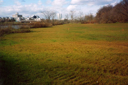
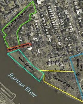
In the 2000’s, the dilapidated old marina had fallen into disrepair and was demolished in 2003. Soon after, Middlesex County acquired the land as open space, the 2.6 acre “Ayres Beach Natural Area”.
In 2012, this geocache was placed with the colonial designation “Ye Devils Elbow” to remind us that each set of coordinates has a unique and varied history.
Congratulations to tmmiller on FTF!