Oude zandbanken van 7 miljoen jaar geleden
NEDERLANDS
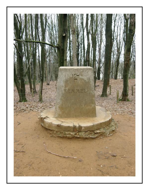
De Kemmelberg is een heuvel bij het dorp Kemmel in de Belgische provincie West-Vlaanderen en is met zijn 156 meter het hoogste punt van de provencie. Het is één van de getuigenheuvels van het West-Vlaamse Heuvelland.Op de flank ontspringt de kemmelbeek. De Kemmelberg is, net als de meeste heuvels in de omtrek ontstaan uit een duinenformatie toen de Noordzee nog tot daar landinwaarts kwam.In het duinenzand zat heel wat ijzer.Dit vormde door oxidatie met zand zandsteen.Zo hebben deze heuvels de tand des tijd doorstaan. De kemmelberg is een onderdeel van de zogenaamde centrale heuvelkam in het heuvelland.Tesamen met andere heuvels zoals de Watenberg,Kasselberg,Wouwenberg,Katsberg, enz. Door zijn strategisch uitzicht over het Heuvelland, is hier in de eerste en tweede wereldoorlog zwaar gevochten.Je vind er dan ook zeer veel oorlogsmonumenten en graven in de omtrek.
Mail me de volgende antwoorde door. 1. Wat zijn getuigenheuvels? Het bord is voorlopig verdwenen. Los vraag één op door eventjes op Wiki te surfen. Dit tot het infobord terug staat.
2. Geef de hoogte van de getuigenheuvel . Bereken door het gebruik van je GPS.
3.Loggen met foto van jezelf of groep en gps aan infobord en met de engel op de achtergrond. Geniet van deze streek.
ENGLISCH
The Kemmelberg, or Mount Kemmel, is a 159 m. hill near Kemmel in Flanders, Belgium.Together with a dozen other hills or mountains (Kasselber, Wouwenberg, Zwarteberg, Kluisberg....) they form a reef of mountains.However, mountains is not the right name, they are old sandbanks from 7 million years ago when the North Sea came right up to this spot.When the North Sea retreated, there was a tableland or plateau left. Because the top of the sandbanks consisted of a layer of iron sandstone, erosion had lesser influence on the hills. Rain and rivers carved around the hills, until the valleys were formed.The sandbanks were left as big hills (mountains)The mountains were home for many groups of people, like the Celts. They had a strategic view over the valleys.Because of the strategic view, there has been heavy fighting here in both World Wars.Around these hills you find a lot of war cemeteries. Sandbanks that survived erosion.
1. Why are these hills named 'witness hills?' For the moment you can find the answer on question 1 on Wiki. Meanwhile we are waiting for a new info-board.
2.measure with GPS the height of the hill near the waypoint?
3. Log with foto of cache-group with info-board and angel in the background. Optional. Have fun.
>
>