Approaching from NSW is our preferred route. This trek is about
4km (from Currumbin Creek Rd the summit is about 3km) but starts on
the border ridge rather than in the valley. From the NSW start
point the terrain is undulating to very steep and almost trackless
near the summit of the East Cougal. Allow about 3 hours for a round
trip.
Snakes, leeches, ticks and fire ants are in plentiful supply in
places given the right weather conditions. A first aid kit is
essential equipment as are snacks and water.
The cache is a 1L Sistema container, located to the east of the
summit. Please ensure the container is well covered.
Care should be taken at the summit as a few metres to the south
there is a sheer cliff. The cache is not located near the southern
edge of the summit. If children are present please supervise them
closely, although the trek is not suitable for young children.
Evidently there is a cave, the entrance being narrow but 2m
high, located before you climb the cliff. It is reported that you
can go in about 10m and from here see light entering the cave from
the other side of the peak.
Origin of the name: Cougal is from the Bundjalung-Yugambeh
dialect 'koggal', meaning 'the place where water falls down'.
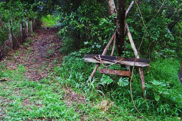
The start of the track from Garden of Eden Rd (the NSW
approach). This track runs along the Qld side of the border. Please
stay on the track.
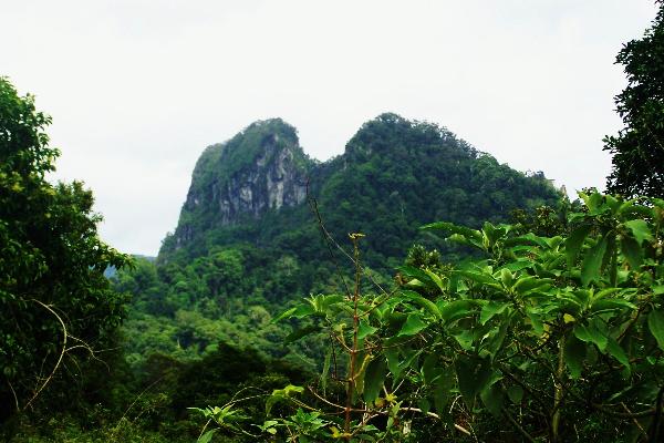
A view of the Cougals from the border track.
The view looking south from East Cougal over the Tweed Valley
including Mt Warning.

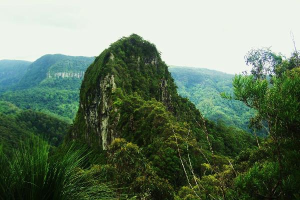
West Cougal from East Cougal. West is a more difficult climb and
may require rope. The track between the two peaks crosses a 'knife
edge'. Extreme caution should be exercised as the drop into NSW is
a sheer cliff. There is no need to make this crossing to find the
cache.
Thanks to Griffo for cache maintenance.