The falls feature a viewing
platform literally underneath the falls on the other side of a
natural tunnel carved into the hillside by the rushing waters of an
abandoned channel.
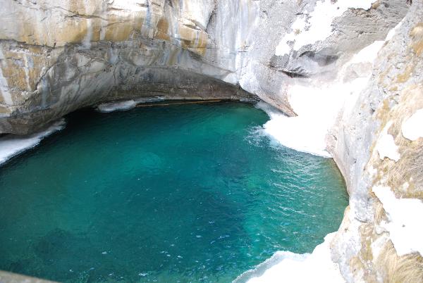
As the water falls down, an outcrop of harder stone resists erosion
and forms the brink of the falls. The softer limestone below has
been scoured by the plummetting water to form a plunge
pool.
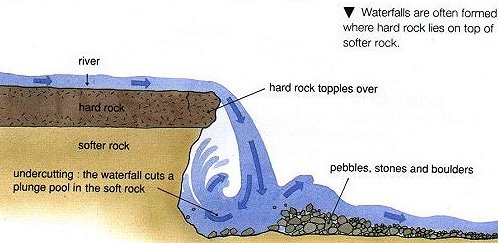
Eventually, the swirling waters
of the plunge pool will undercut the harder stone layer so deeply
that chunks of the unsupported ledge will break off. In this way,
the falls gradually move upstream.
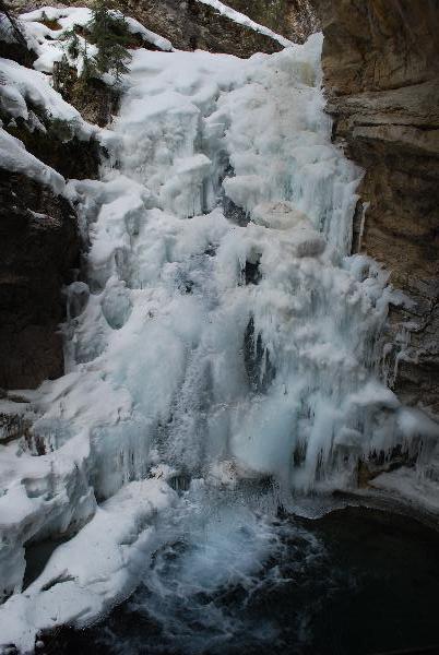
Even in winter when the creek's
eternal flow seems frozen in time, erosion continues. Water seeps
into cracks on warm days, and chips off small chunks of rock when
it freezes and expands at night.
 To log this earth cache, email
me the answers to 1 and 2:
To log this earth cache, email
me the answers to 1 and 2:
1. Estimate the height of the falls.
2. What type of rock forms the harder top outcrop?
3. Post a picture of you or your GPSr at the
falls.