This Cache has been placed in the Baw Baw National park north of
Latrobe valley.
Access to the GZ is via the Mt Erica Carpark. The 3km walk is
not too hard and will take 1.5-2 hrs to complete. (My 6 year old
had no trouble) There is no access via motorized
transport.
so walking is the only option.
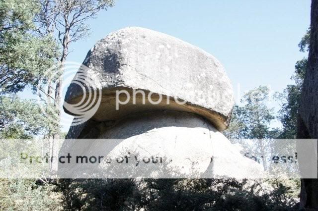
This is a little information on the area
The 13,300 ha Baw Baw National Park covers a substantial part of
the Baw Baw Plateau and sections of the Thomson and Aberfeldy River
valleys. One of the two Victorian national parks with large areas
of sub-alpine vegetation, it offers outstanding views, colourful
wildflowers in early summer and open grassy plains with Snow Gum
woodlands.
The words Baw Baw are said to be an Aboriginal term for 'echo',
although another possible origin of the name is from the words Bo
Bo, used on early maps and said to mean 'big' in an Aboriginal
language. The mountain was explored by the botanist Baron von
Mueller in 1860 and the area declared a national park in 1979.
1907 is the centenary of the Baw Baw Walking Track from
Warburton to Walhalla, which traversed the Baw Baw Plateau. Part of
the track still exists as a section of the Alpine Walking Track but
much of the rest is inaccessible or has disappeared due to the
black Friday fires in 1939.
 BYO pen as the one I had stopped working when I was placing
the cache. Happy Hunting Crisp Image
BYO pen as the one I had stopped working when I was placing
the cache. Happy Hunting Crisp Image