Boren is a rocky hill located south of the town Bilina in the Ceske Stredohori mountains.
Boren je skalnatý vrch (tzv.skalní suk) a nachází se jižne od Bíliny v Ceském stredohorí.


The bottom part of the hill is partly forested. The altitude of the peak is 539 m above sea level. The hill dominates the town of Bilina as well as the whole mountains. It is also a remarkable landmark that can be seen from distant places (such as the town of Zatec).
Boren is the biggest overground clinkstone (phonolite) formation in the middle Europe. The underlying gneiss stratum was raised during the volcanic activity in the Tertiary era wedging the big phonolite formation into the Mesozoic Cretaceous marlite layer. The phonolite was shaped by erosion in the Quaternary era to form a unique knob.
The phonolite has a monumental basaltic parting resulting in up to 100 m high cliffs. Rocky plugs, towers, columns, caverns and other features were created due to the frost weathering. The slopes of the hill are covered by stony debris and stony fields.
Your task is to go through the educational trail which begins at the spa zone in the town of Bilina. The trail is 3.5 km long. There are 12 educational sites. You are supposed to answer at least 3 of 5 questions.
1. What is the exact geological term for the rock (phonolite) forming the hill?
2. How deep are the cracks into the massif?
3. What is the elevation of the hill above the surrounding landscape?
4. In what geological era was the hill formed?
5. Which process had the biggest influence on the final shape of the hill?
Furthermore, add your photograph of yourself at the peak to the log according to the enclosed spoiler. Send your answers to email adrress in my profil with the subject „Boren“. Do not log in before you get an approval mail.

Vypíná se vysoko nad údolím reky Bíliny, ve spodní cásti je cástecne zarostlý lesem. Vrchol se nachází ve výšce 539 metru nad morem. Tvorí výraznou dominantu jak pro mesto Bílina tak i pro celé Ceské stredohorí, díky své charakteristické siluete je také velmi dobre viditelný i z mnoha dosti vzdálených míst (kupr.ze Žatce).
Boren je nejvetší povrchový znelcový (fonolitový) útvar ve strední Evrope. Pri sopecné cinnosti byla nadzvednuta podložní rula a do vrstev druhohorních krídových slínovcu se vklínil mohutný útvar fonolitu. Ve ctvrtohorách byl fonolit erozí vypreparován a vytvoril unikátní kupu. Fonolit má monumentální sloupcovitou odlucnost s až 100 m vysokými skalními stenami. Mrazovým zvetráváním vznikly skalní jehly, veže, sloupy, puklinové jeskyne a další útvary. Svahy pokrývají kamenohlinité sute a sutová pole.
Vaším úkolem je projít naucnou stezku, která zacíná u lázenského areálu ve meste Bílina a zjistit odpovedi na alespon 3 otazky z peti. Délka trasy je cca 3,5 km, pocet zastávek 12.
1. Presný geologický název horniny (znelce), ze které se skládá?
2. Jak hluboko nekteré trhliny pronikají do vnitra masivu?
3. Jak je velké prevýšení nad okolní krajinou?
4. V jakém geologickém období vznikl?
5. Co melo nejvetší podíl na konecné podobe tohoto útvaru?
Dále k logu priložte fotografii sebe, prímo na vrcholu dle priloženého spoileru. Odpovedi zašlete na email přes profil s predmetem „Boren“. Zalogujte se, kdyby byl nejaký problém s odpovedmi, ozvu se.

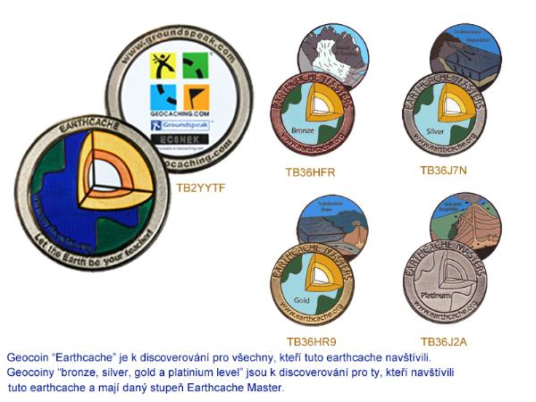
TB2YYTF TB36HFR TB36J7N TB36HR9 TB36J2A

