Entry Point Traditional Geocache
-
Difficulty:
-

-
Terrain:
-

Size:  (regular)
Please note Use of geocaching.com services is subject to the terms and conditions
in our disclaimer.
 |
Cache Details
I placed this cache to mark the entry point for our geocache "This is Zoar Valley - The Path of Reward!" (GC29ARJ). This cache is located in a neat area that has merit to stand on its own! PLEASE place it back exactly (PLEASE I ASK) as you found it. No part of it should be exposed - thank you! |
 |
Park Hours, Warnings & Information
This cache is located in the Zoar Valley Multiple Use Area. The MUA hours are sunrise to sunset and are strictly enforced by DEC Rangers.
This area is hunted during the various hunting seasons so be alert to that.
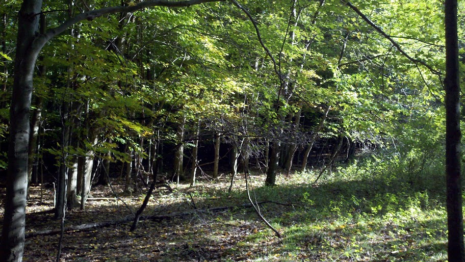
The Zoar Valley Multiple Use Area is a NYS DEC controlled 2,923 acre area located in Erie and Cattaraugus Counties and which adjoins the Cattaraugus Creek in an area featuring a canyon with steep walls. This Multiple Use Area was purchased under the 1960 Multiple Use Bond Act (1,498 acres), with additional land (1,425 acres) deeded by Herbert F. Darling. Along with the canyon or gorge associated with Cattaraugus Creek the area features natural forests, small areas of plantations and an experimental chestnut plantation. |
 |
Tips & Suggestions
No bushwhacking is needed. Hike in along the edge of the farmer's field. Stay off the field as it is private property. Do not trample any plants. |
Additional Hints
(No hints available.)