The Path of Reward! Multi-cache
Frank Broughton: Good bye to a great geocache. In reality people are no longer allowed to visit this cache area per DEC!
-
Difficulty:
-

-
Terrain:
-

Size:  (regular)
Related Web Page
Please note Use of geocaching.com services is subject to the terms and conditions
in our disclaimer.
"This is Zoar Valley" Series - 11 of 12 caches in the Zoar Valley Multiple Use Area - enjoy.
 |
Cache Details
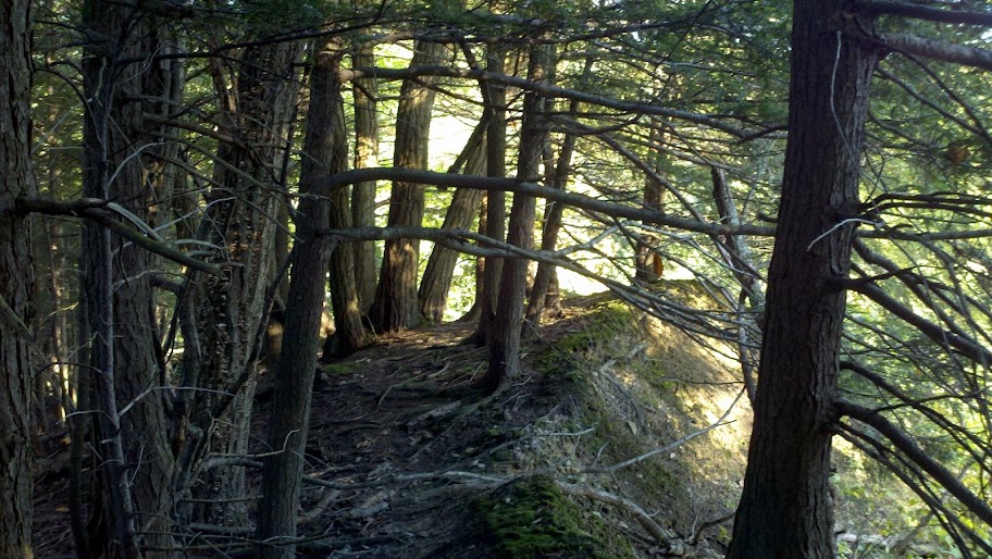
This cache is located in a little hiked area off the Valentine Flats Road Parking Area. The hike will take you through an area that contains some neat old growth trees. Some of the root formations are weird! You will walk partially down two points and also cross a 20 foot plus deep ravine. At the start walk along the farmers field towards my cache called Entry Point - GC35EK4 - this will save you from some bushwhacking. Do not walk on the farmers field, it is private property. Also note, do not walk down the well traveled path to the valley floor. You will be rewarded with an awesome view at the final location. Care must be taken at the final as it is a straight drop of a couple hundred feet. This is a 3 stage Multi-cache. At the final you are looking for a medium sized container (this cache is about location - not the container) - PLEASE place it back EXACTLY as you found it. No part of it should be exposed - thank you! |
 |
Park Hours & Information
This cache is located in the Zoar Valley Multiple Use Area. The MUA hours are sunrise to sunset and are strictly enforced by DEC Rangers.
The area near the final IS dangerous - be careful by the cliff edge, you slip you die! Use common sense and good judgment and all will be well.
This area is hunted during the various hunting seasons so be alert to that.
The Zoar Valley Multiple Use Area is a NYS DEC controlled 2,923 acre area located in Erie and Cattaraugus Counties and which adjoins the Cattaraugus Creek in an area featuring a canyon with steep walls. This Multiple Use Area was purchased under the 1960 Multiple Use Bond Act (1,498 acres), with additional land (1,425 acres) deeded by Herbert F. Darling. Along with the canyon or gorge associated with Cattaraugus Creek the area features natural forests, small areas of plantations and an experimental chestnut plantation. |
 |
Tips & Suggestions
Bring some water for the hike in. Grab your hiking stick and enjoy a great hike to a GREAT location. Bring your camera for sure - this place has a nice view in all of the 4 seasons of WNY! |

Additional Hints
(Decrypt)
Sbe fgntr bar ybbx sbe n erny pbby gerr, gur znexre vf purfg uvtu be fb. CYRNFR chg vg onpx va cbfvgvba. Ng fgntr 2 tb qbja gur evqtr n jrr ovg naq whfg gb gur evtug ybbx sbe n gerr, gur pbagnvare vf va vg. Ng gur svany gur pnpur vf pybfr gb gur pyvss rqtr arne n qrnq gerr jvgu zhpu shatv tebjgu ba vg. Pbire vg onpx hc CYRNFR!